
More news on this day
A swarm of small tectonic earthquakes beneath the northeast flank of Maunakea in Hawaiʻi’s Hāmākua region has drawn renewed scientific attention this week, with current assessments indicating no evidence of magma movement or elevated eruption risk.
Get the latest news straight to your inbox!
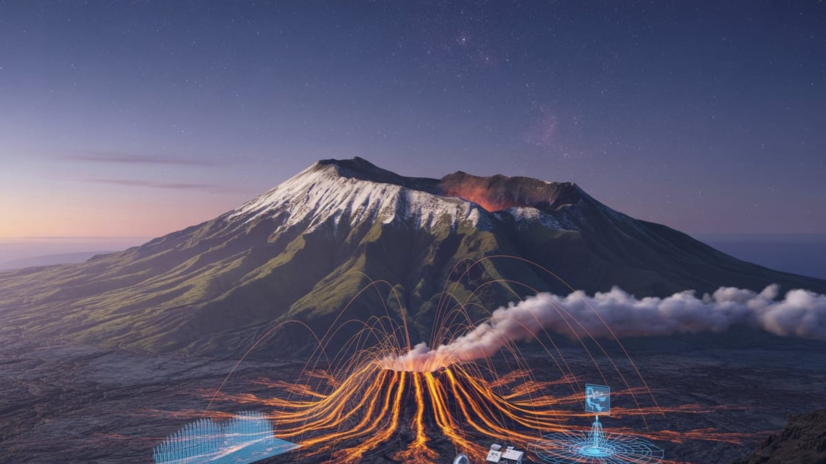
Image by Global Travel Alerts, Advisories, International Travel Alerts
New Seismic Swarm Recorded Under Maunakea
Publicly available information from the USGS Hawaiian Volcano Observatory indicates that about 28 tectonic earthquakes were recorded beneath the northeast side of Maunakea on March 26, 2026, between roughly 2 p.m. and 10 p.m. Hawaiʻi Standard Time. The events were clustered in the Hāmākua region on the island’s windward side.
The earthquakes occurred at depths of approximately 3 to 6 miles below the surface, with most of the events too small to be widely felt. The largest in the sequence reached magnitude 3, and regional coverage reports that only a handful of felt reports were submitted for these stronger quakes.
Accounts of the seismic sequence describe a gradual onset followed by a brief lull. During the first several hours, earthquake rates were relatively low. After two magnitude 3 events that struck about an hour apart, the swarm paused for around 90 minutes before activity resumed at lower intensity, suggesting a transient release of built-up stress within the crust.
The observations have been cataloged by regional media and summarized alongside routine weekly volcano updates, underscoring that the swarm was notable but not exceptional for the northern sector of Hawaiʻi Island.
No Signs of Magma Movement or Volcanic Unrest
Current scientific summaries emphasize that the Maunakea swarm is classified as tectonic in origin rather than volcanic. Tectonic earthquakes arise from fault movement within the Earth’s crust and are distinct from the shallow, low-frequency events typically tied to magma rising toward the surface.
According to published coverage of the Hawaiian Volcano Observatory update, the depth and character of the March 26 quakes place them beneath the Maunakea edifice and within the underlying Kohala volcano structure. In this context, the earthquakes are interpreted as part of a stress-release process in the older volcanic flank, not a sign of new magma intruding under Maunakea.
Regional reporting notes that scientists currently see no indications of changes in gas emissions, ground deformation, or other geophysical signals that would normally accompany magma movement. As a result, there are no changes to volcano alert levels for Maunakea, which is considered dormant, and there is no specific eruption advisory tied to this swarm.
For residents and visitors, the key message from publicly available information is that the swarm does not represent a new volcanic crisis. While any earthquake can be unsettling, the magnitudes involved are modest and consistent with the long-term pattern of deep-seated tectonic activity beneath the island.
Part of a Decades-Long Pattern Beneath Hāmākua
Background material from previous Hawaiian Volcano Observatory updates shows that similar earthquake clusters have been documented beneath the Hāmākua side of Maunakea over the past 25 years. Reports indicate that comparable swarms occurred in 2002, 2004, 2006, 2008, and 2010, each featuring small to moderate tectonic quakes at mid-crustal depths.
In those earlier sequences, the largest events also tended to be around magnitude 3, with most earthquakes measuring below magnitude 2. None of the past swarms in this region have been linked to confirmed magma intrusion or surface eruptive activity on Maunakea, reinforcing the interpretation that they are driven by structural adjustments in the underlying Kohala volcano.
Geologic summaries describe Kohala’s rift zone as extending eastward beneath the Hāmākua coast and offshore to the submarine Hilo Ridge. The weight of the island and the complex architecture of overlapping volcanic flanks create zones where stress accumulates over time and is occasionally released in short-lived swarms such as the March 26 sequence.
This historical context helps explain why the latest activity, while monitored carefully, is not being framed in scientific reports as an immediate precursor to volcanic unrest. Instead, it is another chapter in a long-running story of how Hawaiʻi’s massive shield volcanoes continue to slowly adjust under their own weight.
Implications for Travelers and Communities on Hawaiʻi Island
For travelers planning visits to Hawaiʻi Island, the Maunakea swarm presents more of an educational opportunity than a direct hazard. The magnitudes involved are relatively small compared with the larger regional earthquakes that occasionally affect the island, and there have been no widely reported disruptions to infrastructure or visitor services associated with this particular sequence.
Travel-focused outlets note that attractions such as scenic routes along the Hāmākua Coast, stargazing around Maunakea’s mid-level facilities, and coastal communities from Hilo northward have continued normal operations. Standard earthquake preparedness remains advisable in any seismically active region, but no special advisories have been issued that would alter typical visitor itineraries due to the Maunakea swarm.
The episode does, however, highlight the importance of staying informed through official public information channels when traveling in volcanic and tectonically active areas. Travelers who explore Hawaiʻi Island’s volcano-themed attractions are encouraged to review current status reports before hiking, driving remote routes, or visiting high-elevation sites where weather and road conditions can change quickly.
Local communities along the Hāmākua Coast, accustomed to intermittent small earthquakes, have largely treated the event as another reminder of the island’s dynamic geologic setting rather than a cause for alarm. Insurance, building codes, and emergency plans in Hawaiʻi are shaped by a long history of seismicity, helping to reduce the risk from modest tectonic swarms such as this one.
Monitoring Continues Across Hawaiʻi’s Volcanoes
The Maunakea swarm unfolded against a backdrop of ongoing volcanic activity elsewhere on Hawaiʻi Island, particularly at Kīlauea, which continues episodic eruptive behavior within its summit caldera. Recent weekly updates describe fluctuating lava fountaining episodes, variable gas emissions, and changing tilt measurements near the summit, all of which are tracked by dense networks of instruments.
In contrast, Maunakea and Kohala are not currently erupting and remain in a background state, with seismic activity the primary signal of interest. Networks of seismometers, GPS stations, and remote cameras across the island provide near-continuous data streams that help distinguish between routine tectonic events and the more complex signatures associated with magma movement.
Publicly accessible briefings indicate that scientists will continue to review earthquake patterns beneath Maunakea and the broader Hāmākua region in the coming days and weeks. Any significant changes in depth, frequency, or style of seismicity would be evaluated alongside ground deformation and other indicators to determine whether the assessment of low volcanic risk should be revised.
For now, the March 26 swarm stands as a reminder that even Hawaiʻi’s quieter volcanoes are part of a living landscape. The island’s layered volcanic history, from ancient Kohala to younger giants like Mauna Loa and Kīlauea, continues to play out beneath the feet of residents and travelers, with observatories and monitoring networks working to translate subtle subsurface signals into clear, timely public information.