
More news on this day
India’s weather agency has highlighted a fresh spell of intense rainfall expected on March 27 and 28, with forecasts pointing to heavy showers, thunderstorms and squally winds across multiple regions and advisories warning of travel disruption, local flooding and heightened landslide risk.
Get the latest news straight to your inbox!
Where Heavy Rain Is Expected on 27 and 28
Recent national bulletins from the India Meteorological Department indicate that the wettest conditions around March 27 and 28 are likely over parts of the northeast and the western Himalayan belt, where a combination of moisture-laden winds and passing weather disturbances is forecast to trigger intense showers. In these areas, the outlook points to episodes of heavy rain, and in higher elevations, heavy rain mixed with snowfall.
Similar IMD guidance shows that states such as Arunachal Pradesh and neighboring northeastern hill regions periodically face spells of isolated heavy to very heavy rain around this time of year as moist southwesterly winds interact with local terrain. For March 27 and 28, the pattern once again favors orographic uplift, meaning that slopes and valleys could see heavier downpours than surrounding lowlands.
Over the western Himalayas, publicly available outlooks describe the passage of western disturbances bringing scattered to fairly widespread rain and thunderstorms. On March 27 in particular, this setup tends to enhance rainfall over Jammu and Kashmir, Himachal Pradesh and Uttarakhand, with accompanying strong winds on adjoining plains such as Punjab, Haryana, Chandigarh and Delhi.
While the most intense rainfall is expected in these specific corridors, lighter to moderate showers and thunderstorms may extend into adjoining states, including parts of Uttar Pradesh and sections of central and eastern India, especially during late afternoon and evening hours when convective activity peaks.
Severity Levels and Alert Types Issued by IMD
According to IMD’s published warning framework, the current spell is being monitored using the standard color-coded scale of yellow, orange and red alerts. For March 27 and 28, several districts in the northeast and the western Himalayan region are flagged with at least yellow alerts for thunderstorms, lightning and gusty winds, and in some pockets upgraded to orange where heavy rainfall is more likely.
Yellow alerts generally signal the need to “be updated,” highlighting the chance of localized heavy showers, lightning and short-lived traffic disruption. Orange alerts, used for a higher likelihood of heavy or very heavy rain, call for “be prepared,” emphasizing the potential for more significant impacts such as waterlogging in low-lying areas, temporary road closures and localized flash flooding.
Red alerts, reserved for the most extreme rainfall scenarios, are not widely indicated for this particular 27–28 March window at national scale but remain a possibility where forecast models cluster around very intense rainfall totals. IMD’s dynamic approach means district-level alerts can be upgraded or downgraded as new observations and high-resolution model runs become available.
Travelers planning intercity train journeys or regional flights in and out of affected states are advised, in publicly shared advisories, to monitor daily updates. Even under yellow or orange alerts, heavy bursts of rain and low clouds can lead to slower surface transport and occasional air delays.
Key Hazards for Residents and Travelers
For many regions highlighted in IMD’s late March guidance, the primary concern is a combination of heavy rain, cloudbursts over hilly terrain and strong, gusty winds associated with thunderstorms. Mountainous districts of the western and northeastern Himalayas face elevated risks of landslides, rockfalls and sudden rises in river and stream levels, particularly where slopes are already saturated from earlier showers.
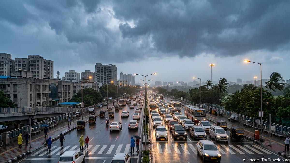
In urban centers, short-duration heavy downpours can quickly overwhelm drainage systems, leading to waterlogging of streets and underpasses. Publicly available information from past events shows that such flooding can affect bus routes, delay local trains and create hazardous conditions for two-wheelers and pedestrians, especially after nightfall when visibility is reduced.
Lightning and squally winds pose additional dangers. Open areas, exposed ridgelines, lakes and rivers become higher-risk environments during thunderstorms. Strong gusts can bring down branches, topple temporary structures and contribute to scattered power outages. Travelers on highways through plains states near the Himalayan foothills may also encounter sudden reductions in visibility due to intense rain and blowing dust on the leading edge of storms.
Low-lying rural communities, particularly those adjacent to small rivers and seasonal streams, are urged in public advisories to remain alert to any rapid water-level rises. Even when overall rainfall totals are moderate, intense bursts in a short time can create localized flash floods that are difficult to predict at village scale.
Practical Advice for Safe Travel During the Wet Spell
For those on the move on March 27 and 28, travel planning around the heaviest rainfall bands can significantly reduce disruption. Public information from meteorological and disaster management agencies consistently recommends avoiding non-essential travel through known landslide zones during and immediately after intense rain, and allowing extra time for journeys that cross hilly sections or river valleys.
Rail and air passengers are encouraged to check real-time service updates before departure, as thunderstorms and low cloud ceilings can affect both visibility and ground operations. In cities expecting heavy showers, flexible itineraries that account for potential delays in reaching airports and major stations can help avoid missed connections.
Drivers are advised by widely shared safety campaigns to reduce speed during heavy rain, maintain longer following distances and avoid attempting to cross waterlogged underpasses or fast-moving floodwater, even if it appears shallow. In many Indian cities, underpass flooding has been a recurring issue when intense downpours coincide with peak traffic hours.
Tourists staying in hill resorts or trekking through higher terrain are also urged to keep track of local forecasts posted by district administrations and resort operators. Simple measures such as avoiding unstable slopes, not camping on dry riverbeds and carrying basic rain protection and warm layers can make a significant difference when weather conditions deteriorate suddenly.
What to Watch After 28 March
Beyond March 28, extended-range outlooks from IMD suggest that active pre-monsoon conditions are likely to continue in pockets, with alternating spells of heat and thunderstorms across parts of central, eastern and peninsular India. While the exact placement of heavy rain belts varies from day to day, the broader pattern points to continued convective activity into early April.
For northeastern states and the western Himalayan region, this means that additional rounds of showers and thunderstorms are possible, even if the intensity eases temporarily after the 27–28 March peak. Residents and visitors are therefore encouraged, in publicly available advisories, to keep monitoring daily bulletins rather than treating this as a single, isolated event.
In major metros on the plains, the focus may gradually shift from widespread rain to sharp, localized storms as temperatures climb. Such storms can still produce brief but intense rainfall, strong winds and frequent lightning, especially during late afternoon and evening periods.
As always in the shoulder season between winter and the full onset of the southwest monsoon, conditions can change quickly. Regularly checking forecast updates, staying alert to local radio and television weather segments and adjusting travel plans to avoid the heaviest rainfall windows remain the most effective ways to manage risk while continuing with work, study and tourism across the country.