
More news on this day
As conflicts flare from Eastern Europe to the Middle East and the Sahel, the world’s airliners continue to cross continents largely without incident, sustained by a complex web of real-time risk assessments, dynamic rerouting and invisible coordination that keeps most travelers several hundred miles and many thousands of feet away from the front lines.
Get the latest news straight to your inbox!
Conflict Zones Redraw the World’s Air Corridors
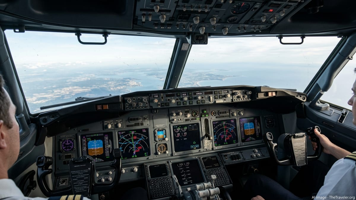
Modern air routes are more fluid than many passengers realize. What appears on an in-flight map as a smooth arc from one city to another is often the product of last-minute adjustments that divert aircraft away from fast-moving danger. Since Russia’s full-scale invasion of Ukraine in 2022, large swaths of Eastern European airspace have been closed or heavily restricted, forcing wide detours for flights linking Europe and Asia and adding hours and fuel costs to some journeys, according to guidance from European and U.S. regulators.
Similar risk calculations now shape routes over the Middle East and Red Sea, where missile and drone activity linked to the conflict in Gaza and the wider regional crisis has prompted airlines to alter long-established corridors. Publicly available tracking data in early 2026 shows many carriers drawing wide arcs around Yemen and parts of the southern Red Sea, while others have adjusted paths over Iraq and western Iran in response to periodic surges in tension and reports of missile launches.
These patterns reflect lessons drawn from earlier tragedies, including the 2014 downing of Malaysia Airlines Flight 17 over eastern Ukraine and the 2020 shootdown of a Ukrainian passenger jet shortly after takeoff from Tehran. In subsequent years, national aviation authorities and industry bodies issued a series of conflict zone bulletins and overflight advisories, reinforcing a shared principle that commercial traffic should avoid airspace where state or non-state actors possess weapons capable of reaching cruising altitudes.
Conflict has also reshaped African routes. Notices from the U.S. Federal Aviation Administration and European authorities highlight elevated risks in parts of the Sahel, Sudan and neighboring states, where armed groups have demonstrated access to surface-to-air weapons and unmanned aircraft systems. Airlines have progressively shifted traffic away from these hotspots, bending routes west over the Atlantic or north across the Mediterranean to preserve what safety specialists describe as layered protection from ground-based threats.
The Quiet Machinery of Risk Assessment
Behind every rerouted flight lies a dense stream of information. Airlines, air navigation service providers and specialized risk consultancies ingest open-source reporting, military activity summaries, satellite imagery, and technical notices from bodies such as the International Civil Aviation Organization, the International Air Transport Association and regional safety agencies. This material is distilled into conflict zone maps, color-coded risk scores and narrative briefings that flight operations teams review daily.
Public conflict zone bulletins issued by European authorities, for example, list specific flight information regions where operators are advised to avoid all operations, exercise extreme caution or observe altitude restrictions. In parallel, the FAA regularly updates special federal aviation regulations that prohibit U.S. carriers from entering designated airspace, from parts of Eastern Europe to sections of the Middle East and Africa. These documents, while technical, effectively redraw the global grid of safe corridors in near real time.
Individual airlines then overlay this regulatory baseline with their own corporate risk appetite and insurance constraints. Some carriers elect to avoid any airspace mentioned in conflict advisories, even when overflight at high altitude is technically permitted. Others adopt more granular thresholds, allowing routings that maintain buffers from known missile ranges or conflict fronts and relying on local air traffic control coordination to keep aircraft at safer altitudes and distances.
Insurance markets add another layer. War-risk underwriters continuously reprice the cost of operating in or near conflict zones, and insurers may attach conditions to coverage, such as minimum stand-off distances or bans on overnighting aircraft at certain airports. Industry reports indicate that spikes in premiums following major incidents or new hostilities can make some routes commercially unviable overnight, pushing airlines toward alternative hubs and longer, but safer, trajectories.
Technology, Navigation and the Challenge of GNSS Interference
The technical backbone that supports safe passage through unstable regions is also evolving. Satellite-based navigation and surveillance systems allow aircraft to follow more precise tracks and maintain separation even when rerouting compresses large numbers of flights into narrower corridors. Collaborative decision-making platforms integrate airline flight plans, air traffic control capacity and weather data, enabling smoother flow management when airspace closures ripple across regions.
At the same time, new vulnerabilities have emerged. Aviation safety analyses published by IATA and the European Union Aviation Safety Agency highlight a sharp increase in interference with global navigation satellite systems in recent years, particularly around conflict zones. Pilots have reported loss or degradation of GPS signals near areas of military activity, raising concerns that spoofing or jamming could complicate diversion decisions or approaches to alternate airports if traditional ground-based aids are limited.
In response, regulators and industry groups have outlined mitigation plans that emphasize redundancy. Airlines are reviewing procedures that allow crews to revert to inertial navigation, radio beacons and radar vectors if satellite guidance is compromised, while manufacturers explore more resilient receiver designs. Training programs increasingly include scenarios in which crews must navigate around restricted airspace using degraded navigation capabilities, maintaining safe separation from conflict areas even when their digital maps are partially impaired.
Digital tools are also transforming risk visualization. Some carriers now use real-time overlays that combine live traffic, conflict advisories, weather systems and temporary flight restrictions into a single operational picture. Dispatchers can test various routings, seeing in advance how a closure over the Red Sea, for instance, interacts with thunderstorms over the eastern Mediterranean and capacity constraints over the Balkans, then select options that maximize both safety margins and schedule reliability.
Passenger Journeys Shaped by Invisible Detours
For travelers, the most visible consequences of wartime rerouting often show up as longer flight times, sudden diversions or short-notice cancellations. During recent spikes in regional tension, for example, media coverage documented airlines in Asia and Europe suspending flights to certain Middle Eastern destinations, while others lengthened routes to avoid Iraqi and Red Sea airspace, adding up to an hour or more to journeys between Europe and the Gulf.
Airport disruption is another downstream effect. When conflict or missile activity disrupts operations at a major hub, neighboring airports may absorb diverted traffic, stretching terminal capacity and straining crew and aircraft rotations. In 2025 and early 2026, localized attacks and threats near key airports in Israel and Yemen prompted temporary suspensions of arrivals and departures, according to open-source reporting, with some carriers opting to route passengers through alternative hubs in the United Arab Emirates, Turkey or southern Europe.
Yet despite these visible inconveniences, much of the safety work remains intentionally invisible. In many cases, passengers are never informed that they are flying hundreds of miles around a conflict zone or that their route was adjusted overnight after new risk assessments. Flight decks receive updated waypoints from dispatch, and the aircraft simply follows a slightly different arc across the map, well away from active military activity or contested airspace.
Industry safety reviews suggest that this strategy of conservative rerouting has contributed to keeping commercial aviation’s fatal accident rate near historic lows, even as the number of active conflicts worldwide has risen. From the traveler’s perspective, the result is continuity: aircraft still arrive, connections are still made, and the war remains something glimpsed only on news screens in the terminal rather than outside the cabin window.
Coordinating a Safer Future in an Unstable World
Looking ahead, global aviation bodies are working to systematize many of the ad hoc practices that have emerged over the past decade of conflict-driven disruption. The latest Global Aviation Safety Plan and Global Aviation Security Plan adopted at ICAO’s most recent assembly call for a dedicated work program on conflict zones, updated risk assessment manuals for overflight operations, and enhanced mechanisms for states to share timely information on new threats.
Regional initiatives mirror this push. In Europe, the integrated conflict zone risk assessment network brings together national authorities, airlines and service providers to exchange intelligence and align advisories, while similar forums in other regions seek to close gaps between military and civil understanding of airspace risk. Industry reports emphasize that timely transparency is critical, so that carriers receive early warning of new missile tests, drone activity or military exercises that could impinge on civilian corridors.
On the operational side, air navigation service providers are exploring more flexible routing concepts that allow traffic to be rapidly reconfigured when a key corridor is lost. Concepts such as trajectory-based operations, dynamic airspace management and cross-border sectorization are being tested to support smoother transitions when flights must be pushed north, south or out over the ocean on short notice.
For global travelers, these efforts will rarely be visible in detail. Yet each adjustment to a safety bulletin, each new risk model, and each reprogrammed flight plan contributes to a broader goal: ensuring that, even in an era of proliferating conflicts and long-range weapons, the most dangerous parts of the world remain, from the vantage point of a cruising airliner, comfortably distant and out of reach.