
More news on this day
Severe thunderstorms swept across the Chicago metropolitan area Thursday evening, delivering high winds, hail and torrential downpours as tornado warnings briefly prompted heightened concern before expiring later in the night.
Get the latest news straight to your inbox!
Storms blast the region after a volatile spring setup
The Thursday evening outbreak developed as warm, humid air surged into northern Illinois ahead of a strong spring cold front, creating an unstable atmosphere supportive of strong to severe thunderstorms. Publicly available radar data showed multiple storm clusters racing east across the Mississippi River Valley into the Chicago area during the late afternoon and early night.
Published coverage from local outlets described rounds of thunderstorms producing frequent lightning, intense rainfall and pockets of small to medium-size hail across parts of the city and suburbs. Some locations reported rapidly changing conditions, with skies darkening quickly and winds strengthening just minutes before the heaviest cells arrived.
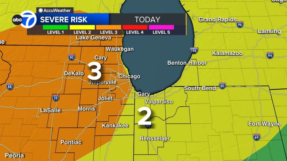
National storm outlooks earlier in the day highlighted northern Illinois, including Chicago, as an area with an enhanced risk for severe weather, including the potential for a few tornadoes. By evening, that threat had largely transitioned to damaging straight-line winds and heavy rain as the main line of storms swept east.
Tornado warnings expire as threats shift
Radar-indicated rotation within some of the more intense storms triggered tornado warnings in portions of the broader Chicago area Thursday evening, particularly to the north and northwest of the city. According to publicly available alert logs, those warnings were allowed to expire as the storms weakened or moved out of the warned zones.
Reports compiled from weather alert services and local coverage indicated no immediate confirmations of tornado touchdowns in the core Chicago metropolitan area during the primary evening surge of storms. Instead, the primary impacts were severe thunderstorm conditions, including strong wind gusts in excess of typical advisory levels and brief but intense rainfall rates.
Farther west and north of the city, earlier watches and warnings reflected the same unstable environment that later moved into Cook, Lake and surrounding counties. As the evening progressed, however, the severe weather signal became more linear and less supportive of sustained tornado development, contributing to the expiration of tornado warnings.
Wind, hail and flooding among main impacts
Wind was a leading concern throughout the event, with a previously issued wind advisory overlapping the severe thunderstorm threat. Forecast discussions ahead of the storms emphasized the risk of gusts strong enough to down small branches, topple unsecured outdoor items and create hazardous travel conditions on elevated roadways and near the lakefront.
Local news summaries noted scattered reports of hail and standing water on some roadways as heavy cells rolled through, particularly in areas where storms trained over the same neighborhoods. Brief episodes of reduced visibility in pounding rain added to commuter challenges for anyone still on the roads during the peak of the evening activity.
While the storms moved relatively quickly, their intensity was sufficient to raise concerns about localized flash flooding in poor drainage spots. Transportation corridors near major airports and low-lying underpasses were closely watched for water accumulation, though the fast motion of the system limited the duration of the heaviest downpours in many locations.
Cooler, unsettled pattern follows overnight
Behind Thursday’s severe storms, forecast guidance for the Chicago area points to a cooler and more unsettled pattern heading into Friday and the weekend. Publicly available forecasts call for temperatures dropping back into the 50s on Friday, with lingering showers or isolated thunderstorms possible as the front fully clears the region.
Additional disturbances riding along the broader storm system may bring intermittent rain chances into Saturday and Sunday, though the overall severe weather risk is expected to be lower than Thursday’s event. Cloudy skies and breezy conditions are likely to make the next several days feel more reminiscent of early spring than the brief warmth that helped fuel the storms.
Longer-range outlooks suggest temperatures will eventually moderate again, but the shift in pattern underscores how quickly conditions can swing across the western Great Lakes at this time of year. Residents are encouraged by forecasters and emergency managers, through publicly available messaging, to remain attentive to updated forecasts during the active spring season.
Preparedness remains key as spring storm season continues
Thursday’s weather serves as an early-season reminder that Chicago and northern Illinois sit in a corridor where severe thunderstorms can develop rapidly in April and May. Even on days that begin quietly, increasing warmth and moisture ahead of a strong front can turn conditions volatile by late afternoon or evening.
Published guidance from meteorological agencies and emergency management groups consistently emphasizes the value of multiple ways to receive warnings, including wireless alerts and broadcast media, particularly when storms are expected during commute times or overnight. The brief window between a watch and a warning in fast-evolving situations means having a plan in advance is crucial.
As the calendar advances deeper into spring, weather outlooks indicate that additional storm systems are likely to cross the Midwest, each bringing varying degrees of thunderstorm potential. While Thursday evening’s tornado warnings around Chicago were allowed to expire without widespread damage reports, the episode highlights the importance of treating watches and warnings seriously whenever they are issued.