
More news on this day
Thunderstorms sweeping across the Washington region on April 1 prompted temporary halts and delays to flights at the area’s three major airports, with ground restrictions affecting operations at Ronald Reagan Washington National, Baltimore/Washington International Thurgood Marshall and Washington Dulles International into the early evening.
Get the latest news straight to your inbox!
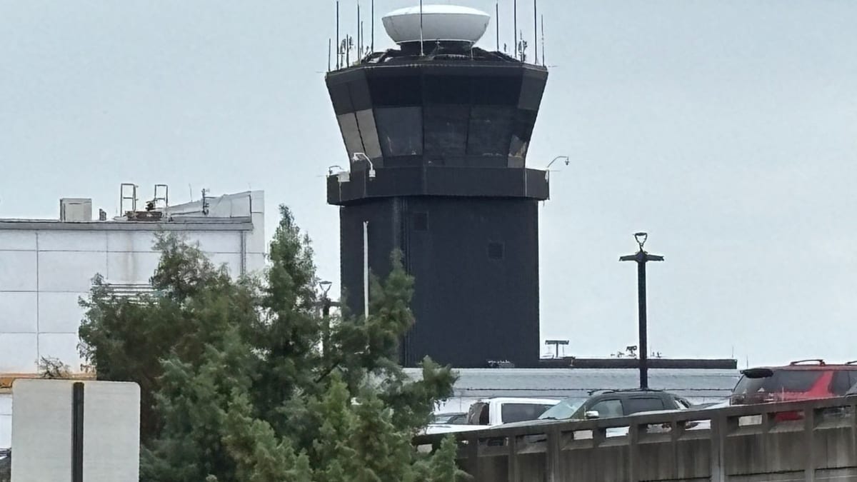
Image by WBFF
Weather Disruptions Ripple Across Washington’s Air Network
According to the Federal Aviation Administration’s published airport status information, Ronald Reagan Washington National Airport was placed under a ground delay program on Wednesday afternoon as thunderstorms moved through the region, with average departure delays reported at around 45 minutes and weather listed as the primary factor. Similar constraints were reported at Washington Dulles International Airport and Baltimore/Washington International Thurgood Marshall Airport as the storm cells tracked across the metropolitan area.
Local media coverage indicates that by around 5 p.m. Eastern time, all three airports were subject to weather-related traffic management programs, including temporary ground stops and reduced arrival rates, as air traffic controllers slowed the flow of flights into the congested Mid-Atlantic airspace. The measures were designed to keep aircraft out of the most intense thunderstorms and to manage the backlog of flights already in the system.
Regional television and radio forecasts described a volatile pattern of late-day storms, with heavy rain, lightning and pockets of small hail reported across parts of the District of Columbia, northern Virginia and central Maryland. These conditions, combined with low cloud ceilings and shifting winds, created a challenging operating environment for airlines during one of the busiest travel windows of the day.
Publicly available radar imagery and National Weather Service products showed multiple storm clusters passing near or over the Potomac and Patuxent river corridors, directly beneath common arrival and departure paths for the three major airports. As the storms pulsed in intensity, air traffic managers adjusted restrictions, periodically holding flights on the ground at origin airports until routes around the weather could be safely reestablished.
Ground Delays and holds Expected Through the Early Evening
Traffic management advisories indicated that weather-related ground delays and metered departures were expected to remain in place into the early evening, with many programs initially posted through at least 6 p.m. Eastern time. For travelers, that translated into a mix of departure holds, extended taxi times and, in some cases, rebookings as connections were missed at downline hubs.
Operational data suggested that while outright cancellations remained limited compared with major winter storms or large-scale system outages, a significant number of flights experienced delays of 30 minutes or more. Some flights inbound to Washington were placed into airborne holding patterns or temporarily diverted to alternate airports until the most hazardous cells cleared key approach corridors.
For airlines, the timing of the disruption during the late afternoon and early evening posed particular challenges. This period is typically a peak for business travelers returning from day trips, government commuters shuttling between East Coast cities and long-haul passengers beginning overnight journeys to Europe and the West Coast. Delays in the Washington area had the potential to cascade across airline networks, affecting schedules far beyond the Mid-Atlantic.
Airport social media feeds and customer advisories emphasized the likelihood of “residual delays” even after the most restrictive programs are lifted, as carriers work to reposition aircraft and crews. Travelers were urged, through publicly posted guidance, to monitor flight status closely and allow extra time at the airport while operations gradually normalized.
Recent Pattern of Disruptions Heightens Traveler Sensitivity
The latest weather-related slowdown comes on the heels of several notable operational interruptions affecting Washington-area airports in recent weeks. In March, regional media coverage highlighted separate ground stops linked to issues at the Potomac Consolidated Terminal Radar Approach Control facility, which manages much of the low-altitude air traffic for the capital region, as well as episodes of intense winter and early spring weather that have tested airline resilience.
Those earlier events, ranging from equipment outages to hazardous chemical odors reported at the air traffic facility, temporarily halted or restricted flights at Reagan National, Dulles and BWI. Although the current disruptions are driven by more routine severe weather, the sequence of incidents has made many frequent travelers in the Washington region more alert to the possibility of sudden, systemwide delays.
Transportation analysts note that the concentration of three large commercial airports within a relatively compact airspace, layered with special security rules around the nation’s capital, can amplify the impact of storms that might cause only minor interruptions in less complex regions. When thunderstorms move directly across common arrival and departure corridors, air traffic managers often have fewer routing options to keep schedules intact.
Travel industry commentary also points out that the surge in post-pandemic demand has kept load factors high on many routes into and out of Washington, leaving limited spare capacity when flights are delayed or canceled. Once an afternoon weather event compresses operations, rebooking options for affected travelers can quickly become constrained, particularly on popular business routes along the East Coast.
What Passengers Flying Through DCA, BWI and IAD Should Expect
For those traveling through the Washington region during this weather episode, publicly accessible flight-tracking and airport status tools suggest that conditions may vary significantly by time and destination. Short-haul flights to nearby cities are often among the first to see schedule adjustments, while longer-haul departures may experience pushbacks but still operate once traffic flow programs are recalibrated.
Passenger-facing guidance from airlines and airports generally stresses the importance of checking flight status repeatedly on the day of travel, rather than relying solely on information received at booking. During active thunderstorms, departure times can change several times within an hour as controllers open and close specific routes based on lightning, wind shear and storm cell movement.
At the terminals, travelers are likely to encounter longer lines at check-in counters and customer service desks as disrupted passengers seek new options. Concession areas typically see increased crowding during extended ground holds, and some airports may open overflow seating areas to accommodate passengers waiting out the storms.
While the FAA’s traffic management programs are designed to preserve safety and restore normal operations as quickly as possible, the practical experience for travelers can involve extended waits on aircraft, late arrivals and missed connections. Travel planners often recommend building in additional buffer time for itineraries that pass through weather-prone hubs, particularly during the spring and summer thunderstorm seasons.
Outlook for the Remainder of the Week
Forecast discussions from local meteorologists indicate that the current round of thunderstorms is tied to a broader pattern of early spring warmth and unsettled air over the Mid-Atlantic, with the potential for additional showers and storms on subsequent days. However, the intensity and timing of future storms are expected to vary, meaning not every day will see the same level of disruption experienced on April 1.
As airlines and airports work through the evening backlog, operational data will provide a clearer picture of how quickly schedules can be restored to normal. Historically, when severe weather is confined to a limited time window, carriers are often able to recover much of their planned flying within 24 hours, though individual routes may continue to show residual delays.
For now, Washington-area travelers planning flights through Reagan National, Dulles or BWI in the coming days are being advised through public channels to remain flexible, stay informed about changing weather forecasts and consider allowing extra connection time where possible. With the summer travel season approaching and storm activity likely to increase, Wednesday’s disruptions serve as a reminder of how quickly conditions in one of the nation’s busiest air corridors can shift.