
More news on this day
Powerful spring storms swept across the Chicago area on Thursday, April 2, bringing torrents of rain, strong winds and pockets of flooding that disrupted flights, slowed road traffic and raised fresh concerns about regional travel heading into the weekend.
Get the latest news straight to your inbox!
Fast-Moving Systems Rattle the Metro Area
A series of storm cells moved through northern Illinois on Thursday, tracking from west to east across the Chicago metropolitan area and surrounding suburbs. Publicly available radar and forecast discussions described a volatile setup, with warm, humid air feeding into a cold front and triggering repeated rounds of thunderstorms.
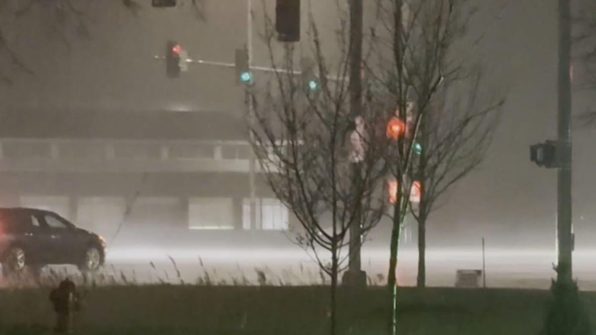
Reports from local media indicated downpours intense enough to briefly reduce visibility to near zero in some locations, accompanied by lightning and rapidly shifting wind gusts. In portions of the southwest suburbs, guidance from the National Weather Service highlighted the risk of winds approaching 50 to 60 miles per hour, with the potential for localized damage and scattered power outages.
While not every part of the region experienced the same severity, the overall effect was a day marked by unsettled skies, fast-changing conditions and frequent weather alerts. The storms followed an already active stretch of early spring weather across the Midwest, coming less than a month after a multiday severe outbreak affected parts of Illinois and neighboring states.
Forecasters noted that the unstable pattern may persist, suggesting that additional rounds of showers and thunderstorms could develop into the weekend, further complicating travel and outdoor plans in and around Chicago.
Air Travel Disruptions at O’Hare and Midway
The storms had an immediate impact on Chicago’s role as a major national air hub. According to published coverage from aviation and local news outlets, the Federal Aviation Administration ordered multiple ground stops at O’Hare International Airport on Thursday as thunderstorms intensified over the area. At times, inbound flights were held at their origin airports while controllers waited for conditions to improve along the approaches to Chicago.
Midway International Airport also experienced weather-related delays, with flight tracking data showing a wave of schedule disruptions as heavy rain and low clouds pushed across the city. Earlier in the week, thunderstorms had already prompted a separate round of delays at both airports, underscoring the sensitivity of the region’s air network to convective weather at the height of the spring storm season.
Travelers connecting through Chicago faced extended waits, missed connections and, in some cases, same-day rebookings as airlines adjusted operations to the shifting weather window. Some carriers had issued flexible travel policies in advance for passengers using O’Hare, allowing itinerary changes at reduced penalties while the forecast remained uncertain.
For those planning upcoming trips through Chicago, aviation analysts often recommend checking flight status frequently on days with active thunderstorm patterns, building extra time into connections and being prepared for gate or timing changes that may cascade through the system as storms flare and fade.
Roadways Slow Under Heavy Rain and Local Flooding
On the ground, the combination of heavy rain and poor drainage created trouble spots on key road corridors. Coverage from local transportation and news sources described standing water on portions of Interstate 190 near O’Hare, where flooding reduced traffic to a crawl and forced temporary lane restrictions. Crews worked for hours to clear clogged storm drains so that traffic could more safely access the airport.
Elsewhere around the metro area, motorists encountered water ponding in underpasses, on entrance ramps and along low-lying stretches of highway, especially during the heaviest bursts of rain. Even outside officially flooded zones, the intense downpours slowed the evening commute, as drivers grappled with spray, glare and sudden reductions in visibility.
Transportation agencies urged caution, emphasizing that a relatively small amount of fast-falling rain can be enough to overwhelm drainage along busy corridors when it arrives in a short period of time. Past hazard-mitigation reports for Cook County have repeatedly noted the vulnerability of certain road segments to flash flooding during strong storms, and Thursday’s event appeared to track with those documented risk patterns.
Travel planners advise that anyone driving to or from the city’s airports during active storms allow additional time, monitor local traffic reports and consider alternate routes in case ramp closures or lane reductions are reintroduced during subsequent weather rounds.
Impacts on Visitors, Events and Lakefront Plans
The storms arrived as Chicago’s spring visitor season begins to ramp up, affecting business travelers, tourists and regional visitors alike. Hotel districts near the Loop and along the riverfront remained accessible, but shifting arrival and departure times at the airports translated into late check-ins, modified meeting schedules and, for some, unexpected extra nights in the city.
Event organizers monitoring the forecast adjusted outdoor plans, particularly for evening gatherings and activities along the lakefront, where strong gusts and lightning risks can quickly force cancellations. Publicly available information from local outlets highlighted the potential for hail and isolated tornadoes in parts of northern Illinois, prompting many planners to keep close watch on real-time radar and alert services throughout the day.
For visitors already in Chicago, the unsettled weather pushed more activity indoors, with museums, restaurants and shopping corridors drawing those seeking to avoid the heaviest rain. Even between storm waves, wet sidewalks and lingering gusts made some open-air attractions less comfortable, especially near the lakeshore where winds can be amplified.
Travel experts often note that flexible itineraries are an asset in Chicago’s shoulder seasons, when conditions can swing from calm and sunny to stormy and blustery over the course of a single day. Thursday’s storms provided a clear example of how quickly plans may need to shift when powerful systems sweep off the Plains into the Great Lakes.
What Travelers Should Watch in the Days Ahead
Looking beyond Thursday’s severe weather, forecast discussions suggest that the broader pattern over the central United States remains supportive of additional storm development. While details on specific timing and intensity are still evolving, the same clash of cooler northern air with warmer, more humid air from the south is expected to continue influencing conditions around Chicago.
For air travelers, that means the potential for more convective delays, especially during afternoon and evening hours when thunderstorm chances tend to peak. Those with tight connections through O’Hare or Midway may want to explore earlier departures or longer layovers where possible, particularly on days flagged by forecasters as having a higher risk of strong storms.
On the road, drivers can reduce risk by checking real-time radar and traffic maps before departing, watching for advisories regarding flooded ramps or low-lying routes near the airports and remaining alert for sudden crosswinds on open stretches of interstate. High-profile vehicles, in particular, can be vulnerable when gusts spike ahead of or behind a thunderstorm line.
Chicago’s experience on April 2 illustrated how a few hours of active weather can ripple across regional and national travel networks. While the city is accustomed to volatile conditions in early spring, the latest round of storms serves as a reminder that close attention to forecasts and flexible planning remain key tools for anyone moving through this critical Midwestern hub.