
More news on this day
Thunderstorms moving through the Mid-Atlantic on Wednesday afternoon prompted federal air traffic managers to temporarily halt many flights into and out of the Washington region’s three major airports, with ground stops and delays expected to ripple through schedules until at least 6 p.m.
Get the latest news straight to your inbox!
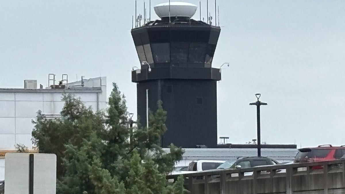
Image by WBFF
Weather Disrupts Operations at DCA, BWI and IAD
Publicly available information from the Federal Aviation Administration and local media indicates that Ronald Reagan Washington National (DCA), Baltimore/Washington International Thurgood Marshall (BWI) and Washington Dulles International (IAD) all came under weather-related ground controls late Wednesday afternoon. A series of fast-moving thunderstorms over the Mid-Atlantic reduced the number of flights that could safely arrive and depart, prompting restrictions on traffic flows into the nation’s capital region.
Coverage from regional outlets describes ground stops being issued for flights bound for the Washington airports between approximately 4:40 p.m. and 4:45 p.m. on April 1, with the measures initially set to remain in place until around 6 p.m. These actions temporarily prevented many aircraft from departing for the affected airports and limited departures from their runways, effectively pausing much of the late-afternoon rush.
Data posted on the FAA’s airport status pages showed thunderstorms listed as the primary constraint, with a ground delay program in effect for at least some traffic. Such programs meter arrivals into a constrained airport by assigning controlled departure times from origin airports, a strategy often used when convective weather reduces the volume of flights that can land each hour.
While some operations continued under instrument conditions, the combined effect of lightning, gusty winds and heavy rain sharply curtailed capacity during a peak travel period, creating backups on taxiways and in the national airspace system.
Ground Stops and Delays: What Travelers Are Seeing
Reports from airline tracking services and airport status boards on Wednesday afternoon showed a growing list of delayed flights at the three Washington-area hubs, with scattered cancellations beginning to appear. At BWI, local news coverage cited a ground stop period from roughly 4:40 p.m. to 6 p.m., with departure delays already building past 15 minutes by about 5:45 p.m. as thunderstorms lingered over central Maryland.
Similar patterns emerged at DCA and IAD, where ground stops for inbound traffic meant that many aircraft remained at their origin airports until conditions improved. For passengers already on board departing flights in the Washington region, the restrictions translated into extended waits on the tarmac as crews awaited release times from air traffic control.
Travelers connecting through the region were also affected. Because ground stops and ground delay programs constrain arrivals, late inbound aircraft can miss their scheduled outbound slots, leading to further adjustments. Airline operations centers typically respond by swapping aircraft, reassigning crews where possible and consolidating lightly booked flights, but such steps take time to execute.
Even after the formal end time of a ground stop or ground delay program, residual disruption often persists for several hours. Late-afternoon storms can therefore have knock-on effects into the evening bank of flights, particularly for routes that depend on tight aircraft and crew rotations.
Why Thunderstorms Force Ground Stops
Thunderstorms are among the most disruptive weather events for aviation because they combine multiple hazards: severe turbulence, lightning, hail, wind shear and rapid shifts in wind direction. According to publicly available FAA documentation, ground stops are one of the most restrictive traffic management initiatives and may be imposed when conditions make it unsafe or impractical to maintain normal arrival and departure rates.
When storms build along the main approach paths to an airport or directly over its airspace, controllers must increase the spacing between aircraft for safety. In some cases, they may have to suspend certain approach or departure routes entirely. The effect is a lower airport arrival rate, meaning fewer planes can land in a given hour. To prevent airborne holding and congestion, traffic management coordinators respond by slowing or halting departures from other airports bound for the constrained facility.
The Washington region is particularly sensitive to such disruptions because three major commercial airports share overlapping airspace and rely on the same regional approach control center. When thunderstorms line up over the Potomac and Patuxent river valleys or sweep across the Baltimore–Washington corridor, the combined arrival and departure capacity of DCA, BWI and IAD can drop sharply, making coordinated restrictions more likely.
Springtime in the Mid-Atlantic often brings an uptick in convective activity, and recent weeks have already seen several weather- and equipment-related interruptions to air traffic around the capital. Aviation analysts note that even short-lived ground stops can generate a notable spike in delays, particularly on busy travel days.
Broader Impact on the National Airspace System
While Wednesday’s restrictions were concentrated in the Washington region, the effects extended along the East Coast and to major connecting hubs nationwide. Flights departing from cities as far away as the Midwest and Southeast faced holds at the gate when bound for DCA, BWI or IAD, underscoring how a localized weather event can reverberate through the broader system.
Airline scheduling models are built around expected airport arrival rates, and when those rates fall due to storms, carriers must quickly adjust. That can involve rerouting aircraft, rebooking passengers and coordinating with partner airlines to preserve connections where possible. Passengers traveling later in the day on April 1, especially those with tight layovers through the Washington area, were likely to encounter revised itineraries or be shifted to later flights.
Industry observers point out that weather-related traffic management initiatives have been trending upward in recent years as climate variability produces more frequent and intense storms during traditionally busy travel periods. Federal data published on air traffic operations show a rise in the number of ground stops and ground delay programs tied to convective weather across multiple large hubs.
For travelers, the practical takeaway is that late-afternoon and evening flights during active storm patterns carry a higher risk of disruption. Many consumer advocates recommend booking earlier departures, building extra connection time and monitoring flight status closely through both airlines and official airport channels when severe weather is in the forecast.
What Passengers Should Expect Through the Evening
As of early Wednesday evening, indications from airport dashboards and airline advisories suggested that the most restrictive controls were expected to ease around 6 p.m., provided storm cells continued to move east of the region. Even as operations ramp back up, however, passengers can anticipate a period of catch-up as airlines work through queues of delayed departures and arrivals.
Travelers departing later on April 1 are likely to encounter crowded gate areas, longer-than-usual lines at customer service counters and limited seat availability on alternative flights. Aircraft and crew that spent part of the afternoon out of position may take several rotations to return to normal schedules, which can push some delays into the late-night hours and early-morning departures on April 2.
Airlines commonly respond to such disruptions by issuing flexible travel waivers, allowing passengers booked on affected routes to change flights without standard fees. In recent Mid-Atlantic storm events, carriers serving DCA, BWI and IAD have extended similar accommodations, especially for those with nonessential or discretionary travel.
For those planning to fly into or out of the Washington area, the most reliable approach remains to check flight status frequently, monitor weather forecasts and allow additional time at the airport. With the spring thunderstorm season ramping up, the prospect of more short-notice ground stops and delays across the region is likely to remain a recurring feature of the travel landscape.