
More news on this day
Thunderstorms moving through the Mid-Atlantic region on April 1 triggered temporary ground stops at all three major Washington area airports, disrupting afternoon and early evening travel as airlines worked to manage cascading delays.
Get the latest news straight to your inbox!
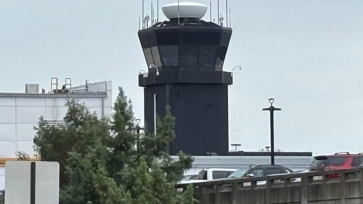
Image by foxbaltimore.com
Ground Stops Implemented Across Washington Region Airports
Published coverage and Federal Aviation Administration status information indicate that Ronald Reagan Washington National, Washington Dulles International and Baltimore/Washington International Thurgood Marshall each went under ground stop programs between approximately 4:40 p.m. and 4:45 p.m. Eastern time on Wednesday. The measures temporarily paused most departures bound for the Washington area and tightly controlled arrivals already en route.
The FAA’s online operations data showed ground delay and ground stop programs tied to thunderstorms in the region, with average delays at Reagan National approaching the half hour mark during the late afternoon. Similar constraints were reported at Dulles and BWI as the weather system moved across the metropolitan area.
Local broadcast and online outlets reported that the restrictions were expected to remain in place until about 6 p.m., although the duration depended on how quickly storms cleared the busiest approach and departure corridors. Even after formal ground stops are lifted, residual congestion typically lingers as airlines reshuffle aircraft and crews.
The temporary halt came at the beginning of the evening rush for business travelers and commuters, increasing the likelihood of missed connections and extended waits at gates and on tarmacs across the East Coast network.
Thunderstorms Drive Aviation Disruptions
Weather discussions from regional meteorologists described a volatile air mass over the Washington area on Wednesday, with temperatures well into the 80s and enough instability to support scattered strong to severe thunderstorms late in the day. Forecasters noted the potential for damaging wind gusts, hail and frequent lightning, all of which create safety concerns for airport and air traffic operations.
Live weather updates for the capital region highlighted severe thunderstorm warnings for portions of Northern Virginia during the late afternoon, with storms expected to persist into the evening hours. In such conditions, aircraft may face hazards on approach and departure, while lightning risk can force ramp closures that bring ground handling to a standstill.
Aviation planning references explain that ground stops are one of several tools used to manage traffic when weather sharply reduces the capacity of an airport or surrounding airspace. By holding flights on the ground at their origin, the system aims to avoid excessive airborne holding near the affected airports and limit the risk of diversions to alternate fields.
While some thunderstorms may be brief, their impact on an airline schedule can be prolonged, particularly at hubs and multi-airport metropolitan regions such as Washington and Baltimore, where traffic flows are closely intertwined.
Passengers Face Delays, Cancellations and Congested Terminals
Publicly available flight tracking boards for BWI, DCA and IAD on Wednesday afternoon showed a growing number of departures and arrivals marked delayed as the ground stops took effect. Some inbound flights were held at their origin airports, while others already in the air appeared to slow or enter holding patterns as controllers managed the constrained arrival rates.
Travelers passing through the airports encountered crowded gate areas, with many flights posting revised departure times that continued to shift as the operational picture evolved. In some cases, aircraft remained at the gate or on taxiways while crews awaited updated release times from air traffic control.
Airlines typically respond to this type of event by issuing flexible rebooking options or travel waivers for affected routes, although the specifics vary by carrier. Passengers with tight connections through Washington area airports were especially vulnerable to disruption, as even modest delays can cascade into missed onward flights late in the day.
Industry guidance consistently urges travelers to rely on airline apps and direct carrier notifications for the most current information, since systemwide delays tied to weather can change rapidly as storms intensify or weaken along key flight paths.
Recent Pattern of Operational Disruptions in the Capital Region
The latest weather related stoppage follows a string of operational interruptions that have recently affected the same three Washington area airports. In mid and late March, separate incidents involving a strong chemical odor and equipment problems at the Potomac Consolidated TRACON, the regional air traffic facility that manages approaches and departures for the region, prompted temporary halts to traffic similar in scope.
News accounts from those earlier episodes described brief but widespread ground stops that extended beyond DCA, IAD and BWI to include several smaller airports in Virginia. Those events were unrelated to weather and instead underscored how technical and environmental issues within critical facilities can ripple quickly through the air traffic system.
Aviation safety analyses note that the Washington and Baltimore area is particularly sensitive to both weather and infrastructure disruptions because the three major commercial airports share overlapping airspace in a relatively compact corridor. Any reduction in available routes or runway configurations can sharply curtail capacity, prompting the FAA to deploy ground delay or ground stop programs to maintain safe separation between aircraft.
The combination of recent facility related stoppages and the latest weather driven measures highlights the fragility of schedules in one of the nation’s most important air travel markets, especially during peak travel periods.
Evening Travel Outlook and Broader Network Effects
As of early evening on Wednesday, publicly available information suggested that formal ground stops associated with the strongest storms were expected to taper around or shortly after 6 p.m. However, airlines and travelers were likely to contend with lingering delays deep into the night as aircraft and crews returned to their planned rotations.
Once a backlog of delayed flights develops, carriers must sequence departures and arrivals to match limited gate space and runway capacity, a process that can extend recovery time even after weather has improved. Late night flights, particularly those with long haul destinations or tight airport curfews, are often at higher risk for cancellation when disruption strikes in the late afternoon.
Because DCA, BWI and IAD serve as significant connecting points for domestic and international routes, the impact of Wednesday’s storms was expected to reach far beyond the Mid Atlantic. Travelers in other parts of the country could see delays traced back to aircraft and crews originating in or routed through the Washington area earlier in the day.
For passengers holding reservations later this week, aviation analysts commonly recommend monitoring forecasts for additional rounds of storms and reviewing airline policies on same day changes. While Wednesday’s ground stops were temporary, they serve as a reminder of how quickly severe weather can alter even well planned itineraries.