
More news on this day
Thunderstorms moving through the Mid-Atlantic on Wednesday afternoon triggered temporary ground stops and delays at Washington’s three major airports, disrupting late-day travel at Ronald Reagan Washington National, Washington Dulles International and Baltimore/Washington International Thurgood Marshall.
Get the latest news straight to your inbox!
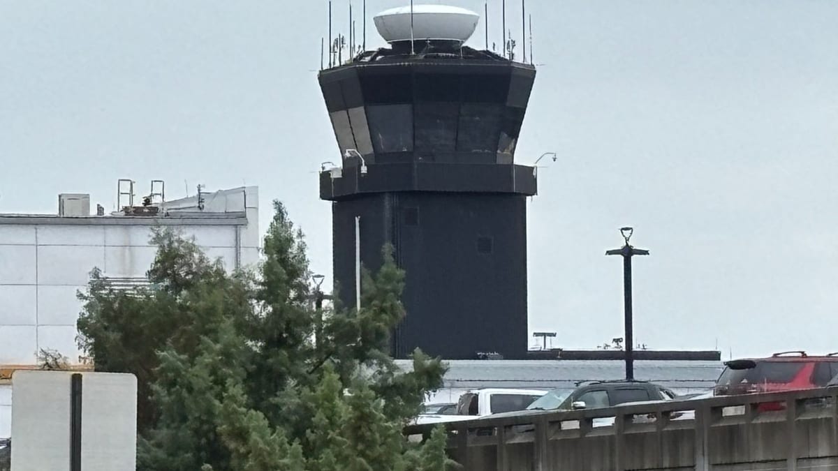
Image by WBFF
Weather System Brings Ground Stops Until Early Evening
According to publicly available information from the Federal Aviation Administration, ground stops and delay programs were put in place for flights bound for Ronald Reagan Washington National Airport, Washington Dulles International Airport and Baltimore/Washington International Thurgood Marshall Airport on the afternoon of April 1. Advisory details indicated thunderstorms in the Washington region, with restrictions initially expected to remain in effect until around 6 p.m. Eastern time.
Coverage from local media in Washington described ground stops issued for all major DC-area airports between approximately 4:40 p.m. and 4:45 p.m., as storms approached from the west. Reports indicated the measures were framed as temporary, designed to manage the flow of arrivals and departures while cells producing heavy rain, lightning and pockets of stronger wind passed near airport approach and departure corridors.
The National Weather Service’s Baltimore/Washington office highlighted a risk for scattered strong to severe storms on Wednesday, with the potential for damaging wind gusts and hail in some locations. By late afternoon, storms were tracking across parts of the region, prompting air-traffic managers to slow or halt traffic into the busy Washington airspace until conditions improved.
While end times for restrictions can shift as weather evolves, early FAA summaries and local broadcast reports pointed to an expectation that the most disruptive constraints would ease by early evening. However, aviation planners noted that even relatively short ground stops can have ripple effects that linger beyond the official end of a program.
Impact on Travelers at DCA, IAD and BWI
For passengers, the immediate effect of Wednesday’s weather was a growing list of delayed flights and scattered cancellations at the three major airports serving the nation’s capital region. Flight-tracking boards for Reagan National, Dulles and BWI showed increasing departure and arrival delays during the late afternoon period, particularly for short-haul routes along the East Coast and connections feeding into hub operations.
Published coverage indicated some passengers experienced extended time on the tarmac as aircraft already boarded waited for release from ground-delay programs, while others were held at departure airports elsewhere in the country until traffic into the Washington area could safely resume. Airlines typically adjust departure slots, swap aircraft and reroute connections when thunderstorms disrupt a high-density airspace like the DC region.
Travel industry reports suggest that late-day storms are particularly challenging because they coincide with a busy bank of departures and arrivals, including commuters, business travelers returning home and early-evening leisure flights. When weather intersects with this peak period, even a one- or two-hour slowdown can push some trips into late-night arrival windows or force missed connections at downstream hubs.
For those on the ground at DCA, IAD and BWI, information screens and airline communications reflected rolling updates as FAA traffic management programs were adjusted. Travelers with checked baggage and tight connections often face the greatest uncertainty in these situations, especially when updated departure times remain fluid while controllers track closely spaced lines of storms.
Operational Context and Recent Disruptions
The latest weather-related restrictions came after a series of recent operational disruptions affecting the same airports for different reasons. In late March, a strong chemical odor at the Potomac Consolidated Terminal Radar Approach Control facility in Virginia led to a temporary halt of flights into the DC-area airports, including Reagan National, Dulles and BWI. Publicly available information from that episode showed arriving and departing flights paused while the facility was evaluated.
Separate from the air-traffic control issue, the broader Mid-Atlantic has also experienced multiple rounds of weather-related flight waivers and delays during the winter and early spring, including systems that produced heavy rain, snow and low visibility over key Northeastern corridors. Airlines have responded at times by issuing flexible rebooking policies for passengers traveling through Washington-area airports.
These recent incidents underscore how sensitive the regional air network is to both localized facility issues and fast-changing weather. The Washington metropolitan area functions as a critical node in the national aviation system, and constraints at DCA, IAD and BWI tend to echo outward through connecting flights nationwide, affecting itineraries far from the storm’s immediate footprint.
Analysts who track aviation performance note that while the system is designed with significant redundancy, convective weather such as thunderstorms can still create bottlenecks, especially where approach paths are confined by terrain, restricted airspace or surrounding urban development, as is the case around the nation’s capital.
What Passengers Can Expect Through the Evening
Even when an FAA ground stop or formal delay program is listed as ending around 6 p.m., residual delays often persist into the evening as airlines work through backlogs. Crews can time out, aircraft may not be in the right position for subsequent flights, and gate availability can remain constrained as late-arriving planes turn around for next legs.
Publicly available airline advisories commonly encourage travelers in such situations to monitor their flight status closely on official apps or airport information displays, particularly when connecting through the DC-area airports. In some cases, same-day change options or travel waivers may be available for passengers willing to rebook to later flights or alternate routings to avoid the most affected time windows.
Travel planners frequently recommend that passengers whose journeys are not time-critical consider shifting to less congested travel periods following a disruptive weather event. Early-morning flights on the next day sometimes offer more reliability, provided the weather pattern moves out and crews and aircraft can be repositioned overnight.
For visitors and residents alike, the combination of summerlike warmth and late-day thunderstorms that affected the capital region on April 1 serves as a reminder that spring in the Mid-Atlantic can bring rapid changes in flying conditions. As convective weather season ramps up, travelers through DCA, IAD and BWI may see more short-notice adjustments to flight schedules, even when skies appear relatively calm at the terminal itself.
Broader Implications for Mid-Atlantic Air Travel
The Wednesday disruptions in Washington tie into a broader pattern of weather-driven challenges across the U.S. aviation system. In recent months, severe weather, winter storms and heavy rain events have periodically strained capacity at major coastal and Midwest hubs, leading airlines and regulators to revisit how they plan for and communicate about such events.
Industry observers point out that the Mid-Atlantic’s position along a busy North-South corridor, as well as its proximity to other constrained airspaces such as New York, means that storms over the region can have outsized influence on national flight operations. When FAA advisories flag thunderstorms near Washington, traffic managers often must balance safety with the need to keep flows moving for cross-country and international connections.
Efforts to bolster resilience range from longer-term infrastructure investments at airports to refinements in traffic management tools that better anticipate storm evolution. The events on April 1 highlight how quickly those tools may need to be deployed as temperature, humidity and upper-level winds combine to produce fast-developing thunderstorms just as evening rush-hour travel peaks.
For now, the immediate focus for airlines and travelers remains clearing the backlog from Wednesday’s weather-related slowdowns. Depending on how quickly operations stabilize after the ground stops expire, some passengers may still feel the effects in the form of delayed arrivals and rebooked flights stretching into the late evening hours.