
More news on this day
Strong thunderstorms over the Mid-Atlantic brought departures and arrivals to a crawl at all three major Washington area airports on Wednesday, with ground stops and rolling delays snarling travel at Reagan National, Baltimore/Washington International Thurgood Marshall and Washington Dulles.
Get the latest news straight to your inbox!
Thunderstorms Prompt Ground Stops Across the Capital Region
According to publicly available Federal Aviation Administration data and local broadcast coverage, weather-related traffic management programs were in effect through Wednesday afternoon and evening at Ronald Reagan Washington National Airport, Washington Dulles International Airport and Baltimore/Washington International Thurgood Marshall Airport. A line of slow-moving thunderstorms over the Mid-Atlantic reduced visibility and limited the rate at which aircraft could safely take off and land.
Local television reports indicated that all three airports were placed under ground stops at various points in the late afternoon, temporarily pausing most departures as storm cells passed over key arrival and departure corridors. The restrictions were described as evolving through the evening as controllers balanced safety margins with efforts to clear a growing backlog of flights.
FAA status pages for the Washington airports showed a mix of ground delays and departure holds tied to thunderstorms, with the agency citing convective weather as the primary constraint. At Reagan National, a formal ground delay program listed average waits of about 45 minutes for arriving flights as storms lingered near the Potomac River corridor.
By early evening, some of the most stringent ground stop orders were eased, but residual congestion persisted across the region as aircraft, crews and gates remained out of sequence. Travelers arriving on later flights continued to report waits on taxiways and at crowded gates as airlines attempted to reset schedules.
Reagan National Faces Persistent Arrival Delays
Reagan National, the closest airport to downtown Washington, appeared to bear some of the heaviest arrival delays in the early stages of the storms. Publicly accessible FAA advisories cited thunderstorms and reduced arrival rates for the airport, with average inbound delays approaching three quarters of an hour during the peak of the disruption.
The airport’s location along the Potomac River and its tightly choreographed approach patterns often make it sensitive to convective weather. When storms park over central Washington or along the river corridor, controllers have fewer options to reroute traffic, leading to rapid backups even from short-lived cells.
Tracking services and airline status pages showed stacked delays for flights inbound to Reagan National from major East Coast cities, with some aircraft placed in holding patterns and others slowed before departure from their origin airports. Passengers on affected flights reported extended gate holds as carriers waited for arrival slots to open in Washington.
Operational data and past delay statistics highlight that the airport routinely ranks among the more delay-prone facilities in the national system during peak travel periods, and Wednesday’s storms underscored how quickly localized weather can ripple through a tightly regulated airspace.
BWI Sees Rolling Holds as Storms Sweep Maryland
To the north, Baltimore/Washington International Thurgood Marshall Airport also experienced ground stops and rolling delays as thunderstorms swept across central Maryland. Local news coverage described an FAA-imposed halt on many departing flights from late afternoon into the early evening, with conditions reviewed in short increments as radar returns evolved.
Information shared by BWI through public channels indicated that even after the formal ground stop period ended, travelers could expect ongoing delays while airlines worked through queues of aircraft and accommodated passengers on missed connections. Other flight-status platforms showed a patchwork of late arrivals from Midwest and Southern hubs feeding into Baltimore.
BWI has experienced several bouts of weather and infrastructure disruption in recent weeks, leaving spring travelers particularly sensitive to new interruptions. On Wednesday, the thunderstorms added another layer of complexity for an airport that serves as a major low-cost carrier base and a regional connector for the broader Mid-Atlantic.
Although the FAA’s national status board later showed no major ongoing delay program at BWI, the earlier ground stop and intermittent heavy rain produced a wave of pushbacks in schedules that was still being felt into the night.
Dulles Departure Flow Slowed by Traffic Management Measures
Washington Dulles International, the region’s primary long-haul and international gateway, encountered its own set of constraints as the storms disrupted departure flows. FAA postings referenced a weather-related traffic management initiative affecting flights leaving Dulles, with typical delays ranging from roughly 15 to 30 minutes as controllers metered departures into saturated airspace to the north and east.
While Dulles did not appear to experience quite the same concentration of arrival holds as Reagan National, the complex mix of domestic and intercontinental operations at the airport meant that relatively modest delays could still cause tight connections and missed links for travelers heading onward to Europe, the Middle East and beyond.
Reports from airline customers and publicly available flight-tracking data pointed to a patchwork day at Dulles, with some long-haul flights departing close to schedule while shorter regional hops bore the brunt of rolling holds. As storms pulsed through the region, departure queues lengthened and contracted in step with traffic management instructions from air traffic control.
The latest disruptions came less than a week after Washington area airports coped with a separate episode of ground stops tied to a chemical odor at a key regional air traffic facility, underscoring how both environmental and technical issues have recently converged to challenge schedule reliability across the capital region.
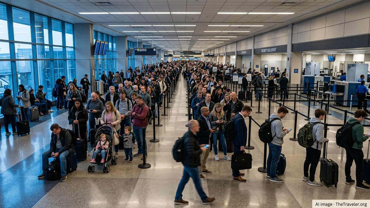
Travelers Face Missed Connections and Crowded Terminals
The combination of ground stops, ground delay programs and intermittent thunderstorms produced familiar ripple effects for passengers across the Washington region. Public posts from travelers described crowds building around customer service counters as flyers worked through missed connections, rebookings and overnight accommodations.
Because the storms affected all three major airports serving the nation’s capital at roughly the same time, typical backup options such as switching from one local airport to another offered limited relief. Airlines instead relied more heavily on same-day standby lists, alternative routings through unaffected hubs and, in some cases, deferred departures to the following morning.
Airport status boards across DCA, BWI and Dulles reflected a growing mix of delayed and canceled flights as the afternoon progressed, particularly among short-haul routes that are more easily rescheduled or consolidated. Longer domestic and international services tended to operate with delays rather than cancellations, adding to the congestion as late-arriving flights fought for gate space.
Travel waivers announced earlier in the season for broader East Coast weather events set a recent precedent for flexibility, and travelers monitoring Wednesday’s disruption will likely watch closely for any similar policy adjustments should storms continue to affect the Mid-Atlantic in the coming days.
What Travelers Can Expect in the Coming Days
Meteorological outlooks for the Mid-Atlantic suggest that the latest round of thunderstorms is part of an active spring pattern, raising the possibility of additional weather-related slowdowns even after the immediate ground stops are lifted. Airlines and airports in the Washington region typically adjust staffing and reserves during such periods, but the tightly packed schedules around holidays and peak travel days can limit how quickly operations fully recover.
Publicly available historical data on delays at Washington’s airports show that Reagan National in particular is vulnerable to afternoon and evening thunderstorms, when inbound flow from other congested East Coast airports is also at its peak. BWI and Dulles, while possessing more space and different runway configurations, face their own challenges when storms line up along key arrival and departure corridors over Maryland and Virginia.
Industry analysts often recommend that travelers crossing the Washington region during unsettled weather build extra time into itineraries, favor earlier departures where possible and keep a close eye on airline notifications. Wednesday’s synchronized disruption at all three airports highlighted how a single storm system can temporarily overwhelm the redundancy that multiple regional airports usually provide.
As airlines work overnight and into Thursday to reposition aircraft and crews, passengers with early morning departures may still encounter isolated delays or aircraft swaps tied to Wednesday’s disruptions. For many travelers, the day served as a reminder that springtime in the Mid-Atlantic frequently delivers fast-moving storms and fast-changing airport conditions that can quickly reshape even the best-planned itineraries.