
More news on this day
Thunderstorms moving through the Mid-Atlantic triggered temporary ground stops and delays at all three major Washington area airports on Wednesday afternoon, disrupting travel plans for flyers heading into and out of the region.
Get the latest news straight to your inbox!
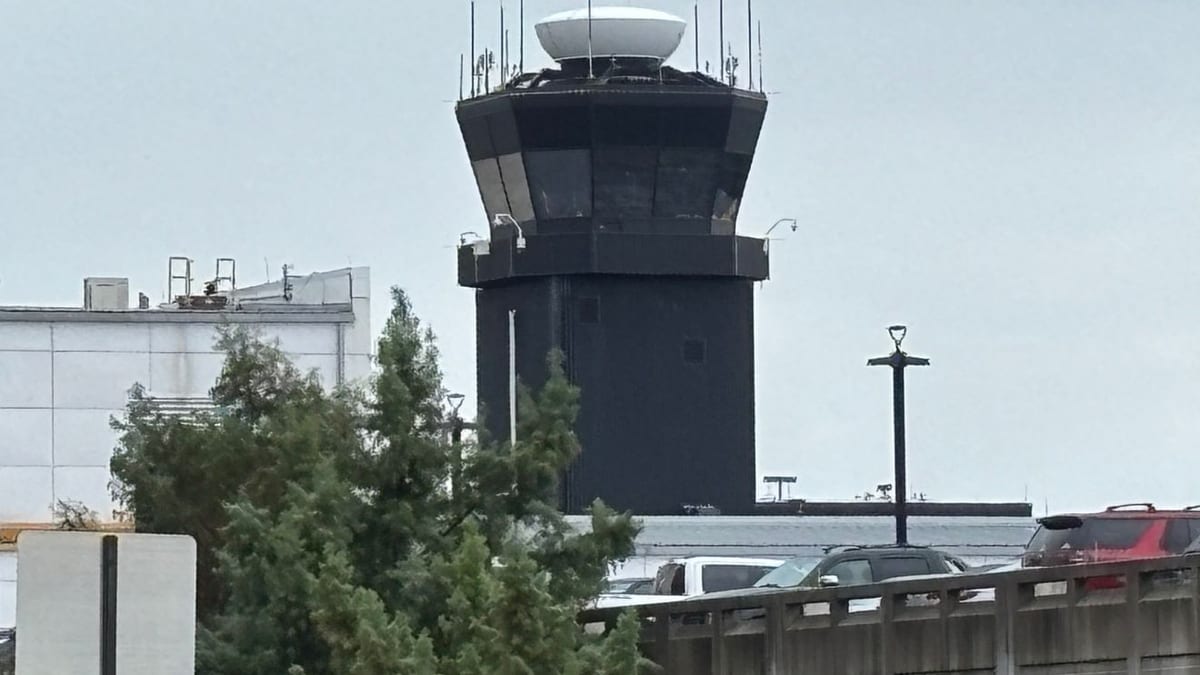
Image by foxbaltimore.com
Ground Stops Issued Across DCA, IAD and BWI
Publicly available Federal Aviation Administration airport status information indicated that Ronald Reagan Washington National Airport, Washington Dulles International Airport and Baltimore/Washington International Thurgood Marshall Airport were all placed under weather-related ground restrictions late Wednesday afternoon. The measures were implemented as storms developed along a warm, unstable air mass over the Washington area.
Coverage from local outlets reported that the restrictions took effect shortly before 5 p.m. Eastern time and were expected to last until about 6 p.m. That time window coincided with the peak intensity of thunderstorms projected to sweep across the Interstate 95 corridor, including the nation’s capital and surrounding suburbs.
Ground stops limit or temporarily halt flights destined for an affected airport from departing their origin, allowing air traffic managers to reduce congestion and keep aircraft out of storm cells. For passengers, the result is a rapid buildup of delays and, in some cases, cancellations as airlines adjust schedules and reposition aircraft when storms move through a busy hub region.
By late afternoon, airport status pages showed weather as the primary constraint on operations, with thunderstorms listed as the reason for restrictions and delays and end times posted at 6 p.m. At Reagan National, the FAA described the situation as a ground delay program, with average delays of around 20 minutes, while Dulles and BWI carried broader advisories tied to the passing storms.
Thunderstorms Cap an Unseasonably Warm Day
The latest disruption arrived after an unusually warm first day of April across the Washington region. Local meteorological outlooks from the morning had highlighted the potential for scattered afternoon and evening thunderstorms following temperatures rising well into the 80s, creating an environment supportive of fast-developing storms.
Forecasters with regional media weather teams described a window from mid afternoon into the evening in which storms could become strong, with the potential for damaging winds and hail in isolated cells. That timing overlapped with the onset of the FAA restrictions, as storm clusters intensified west of the city and tracked toward key aviation corridors serving the capital region.
Weather discussions focusing on the Washington area cited a combination of high temperatures, elevated humidity and an approaching disturbance as drivers of the convective activity. The resulting line of storms prompted warnings for motorists along major routes, including segments of I-95, and created hazardous conditions for aircraft operating in and out of the three major airports.
Thunderstorms near major hubs often lead to cascading delays because aircraft must be routed around heavy precipitation and lightning, reducing the number of arrivals and departures that can safely move through the airspace. Even a relatively short restriction period during the busy late afternoon travel window can produce knock-on effects that persist into the evening schedule.
Impact on Passengers and Evening Travel Plans
As of the late afternoon update, publicly available airport and airline status boards showed a growing number of delayed flights to and from Washington National, Dulles and BWI. Many of the listed delays were modest in length but extended across multiple carriers and destinations, reflecting a systemwide slowdown rather than isolated issues with any single route.
Travelers heading to the airports for early evening departures faced the possibility of extended waits at gates while ground stops remained in place and departure slots were recalculated. Some inbound flights were also subject to holding patterns or departure holds at their origin airports while traffic managers assessed the evolution of storms in the Washington area.
Reports indicated that while the FAA initially set 6 p.m. as the anticipated end time for the restrictions, the actual pace of recovery would depend on how quickly the thunderstorms weakened or moved east of key approach and departure paths. Even if the formal ground stops expired on time, residual delays were expected to ripple through the system as airlines worked through accumulated congestion.
Passengers with connections scheduled through the Washington area on Wednesday evening faced particular uncertainty, as weather disruptions at one hub can quickly affect onward flights across an airline’s network. Many carriers encouraged customers through their public channels and online tools to monitor flight status closely and consider alternative routings where available.
Recent Pattern of Operational Disruptions in the Region
The latest weather-driven restrictions added to a recent run of operational challenges for the Washington aviation system. In March, multiple ground stops affected the same trio of airports after separate issues were reported at the regional air traffic control facility that manages approach and departure flows for the area.
Coverage from late March described one incident in which a strong odor at the Potomac Consolidated Terminal Radar Approach Control facility led to a temporary halt of flights at Washington National, Dulles and BWI while the situation was evaluated. Earlier in the month, a similar episode involving a chemical smell at the same facility prompted another set of ground stops and diversions.
These recent events highlighted how both infrastructure issues and severe weather can quickly disrupt operations across all three major airports simultaneously, given their shared reliance on regional airspace management. The early April storms underscored that even under clear long-range visibility and otherwise favorable flying conditions, localized convective weather can force rapid adjustments to traffic flows.
For travelers, the pattern reinforces the importance of building flexibility into itineraries to and from the Washington area, particularly during transitional seasons when thunderstorms, winter weather or high winds can trigger sudden restrictions. Industry analysts often point to the capital region’s dense airspace and heavy daily traffic volume as factors that make it especially sensitive to short-term disruptions.
What Travelers Can Expect Through the Evening
As the 6 p.m. target for lifting restrictions approached, meteorological outlooks suggested that the most intense thunderstorms would gradually exit the immediate Washington area, though lingering showers and isolated storms remained possible. Once the most hazardous cells moved away from critical approach and departure corridors, air traffic managers were expected to begin easing arrival and departure caps.
Even so, passengers were likely to continue encountering delays into the evening as airlines worked through backlogs of aircraft and crews that were out of position. Experience from previous short-lived ground stops in the region indicates that it can take several hours for operations to fully normalize, particularly on days with otherwise high travel demand.
Travelers still planning to fly through Reagan National, Dulles or BWI on Wednesday evening were advised through public information channels and airline status tools to verify their flight’s departure time before heading to the airport. Those already at the terminals could expect busy gate areas and frequent schedule updates as airlines adjusted departure sequences to make the most efficient use of available slots.
While Wednesday’s event was expected to be relatively brief, the combination of severe weather potential and recent operational issues has kept attention focused on the reliability of air travel in and out of the nation’s capital. With the spring and summer thunderstorm seasons ahead, aviation observers note that similar weather-driven slowdowns are likely to recur, even as airports and airlines refine their response plans to limit disruption for passengers.