
More news on this day
A powerful April storm system is slamming the Sierra Nevada with heavy, wet snow, high winds and whiteout conditions, triggering widespread winter storm warnings and major disruptions on some of California’s busiest trans-Sierra routes.
Get the latest news straight to your inbox!
Winter Storm Warning Details and Timing
Publicly available forecasts indicate that a broad winter storm warning remains in effect across much of the Sierra Nevada through late Sunday and in some areas into Monday, covering elevations generally above 4,500 to 5,000 feet. The warning includes the West Slope Northern Sierra Nevada, Western Plumas County and stretches of the range that feed major travel corridors between the Central Valley, Lake Tahoe and western Nevada.
Recent bulletins describe a classic spring snow event, with colder air dropping snow levels and turning earlier rain showers into intense snowfall at pass level. Forecast guidance compiled by regional weather outlets points to storm totals of 1 to 2 feet of snow above 4,500 feet and 3 to 4 feet or more over the highest peaks, with localized amounts approaching 5 feet on wind-favored ridges.
Snowfall rates of 1 to 2 inches per hour are expected at times, particularly from Saturday afternoon through Sunday evening. Meteorologists tracking the system report that the heaviest bands are sweeping east across the crest in waves, briefly easing before redeveloping and maintaining hazardous conditions for anyone attempting to cross the range.
In addition to the heavy snow, the storm is producing strong ridge-top winds, with gusts above 60 miles per hour reported in some higher elevation locations. The combination of dense, wet snow and powerful wind is contributing to blowing and drifting snow, rapid reductions in visibility and an elevated risk of tree damage and power interruptions in exposed areas.
Major Highways Face Closures, Chain Controls and Long Delays
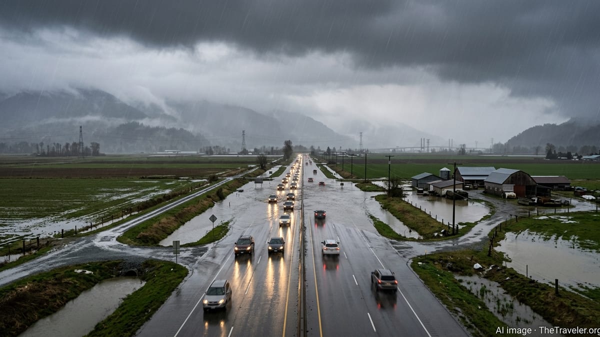
Travel impacts across the Sierra Nevada have escalated through the weekend as conditions deteriorated on the primary east–west routes that connect the Bay Area and Sacramento region with Reno, Lake Tahoe and points beyond. Coverage from regional transportation and automotive outlets notes that Interstate 80 near Donner Summit has already seen closures and partial shutdowns, with spinouts and jackknifed vehicles forcing extended traffic holds.
On Sunday, reports from Northern California media described I-80 being shut down near Donner Summit for a period as plows worked to clear lanes and crews responded to collisions in whiteout conditions. Even when the interstate has remained technically open, chain controls and rolling slowdowns have kept speeds low, with travelers warned to expect significant delays and the possibility of sudden, unplanned closures if conditions worsen.
US Highway 50, the other key artery over the crest toward South Lake Tahoe, has also been affected by heavy snow and chain checkpoints. Updates from the Tahoe region highlight stretches of bumper-to-bumper traffic near traditional choke points and chain installation zones, with some segments operating under strict control requirements for all but the most capable winter vehicles.
Farther south, US 395 along the eastern Sierra continues to experience difficult driving where the highway parallels the spine of the range. County-level situation reports and recent debriefs from previous winter storms emphasize that this corridor is especially vulnerable to blowing snow, poor visibility and closures around exposed passes, and current warnings again caution that travel may be delayed or halted with little notice.
Hazardous Conditions for Drivers and Mountain Communities
The nature of this storm is creating particularly treacherous conditions for drivers who are unaccustomed to winter travel or who are relying on all-season tires without proper traction devices. Public discussions in regional travel forums and recent coverage in California newspapers describe a familiar pattern of vehicles losing control on steep grades, blocking lanes and triggering chain-reaction delays that can last for hours.
Multi-day storm episodes in recent Sierra winters have provided a sobering backdrop for this event. Historical summaries from state and federal agencies document previous April storms that temporarily closed both I-80 and Highway 50 under several feet of snow, underscoring how quickly spring travel can shift from routine to high-risk when a cold Pacific system moves inland.
The current storm is also landing on surfaces that have been relatively mild and dry in recent weeks. Weather analyses suggest that two to five feet of dense, wet snow are accumulating on warm pavement and bare ground, creating heavy slush, rapid compaction and deep ruts that can abruptly grab a vehicle’s tires. When combined with gusty crosswinds, these conditions make it easy for drivers to lose control, even at moderate speeds.
Mountain communities from Blue Canyon and Donner Summit to the Lake Tahoe basin and Chester are dealing with the dual challenges of heavy snowfall and intermittent access. Local updates point to recurring power outages, downed trees and limited visibility along neighborhood streets, increasing the difficulty of routine trips and emergency responses while the storm remains active.
Implications for Spring Snowpack, Water Supply and Safety
Beyond the immediate travel disruptions, the April storm is feeding into a complex water picture for California and the broader West. Seasonal analyses released in March noted that while a major February storm improved snowpack in parts of the Sierra Nevada, snow water equivalent in several basins remained below typical averages, with runoff forecasts pointing to less than 70 percent of median flows for April through July in many locations.
The current burst of heavy snow is expected to add valuable snow water content at high elevations, especially in headwaters that feed major reservoirs. However, hydrologists have cautioned in recent updates that a single storm, particularly a late-season event, may not fully offset earlier deficits, and that the timing and speed of spring melt will be critical for both water supply and flood management.
Climate and hazard planning documents prepared for Sierra counties highlight the growing variability of winter precipitation, noting that warmer overall temperatures can lead to more dramatic swings between rain and snow during individual storms. This pattern can increase the risk of flashier runoff events at mid elevations while still delivering deep snow loads on the highest ridges, a combination that challenges both road maintenance and long-term infrastructure planning.
Emergency preparedness guidance circulating this weekend urges residents and travelers to treat the storm as a serious safety concern despite its late-season timing. Publicly available resources emphasize the importance of carrying extra food, water and warm clothing, preparing for the possibility of spending extended periods in a vehicle if roads are closed, and considering whether nonessential trips across the Sierra should be postponed until conditions improve.
What Travelers Should Expect Through Monday
As of late Sunday, forecasts suggest that the heaviest snowfall bands will gradually taper from west to east, with lingering snow showers and gusty winds across the higher terrain into Monday. Even as new accumulation slows, daytime melting and overnight refreezing are expected to keep passes icy and slick, with travel advisories already highlighting the risk of black ice early in the morning and after sunset.
Transportation updates indicate that highway crews are working in continuous shifts to plow, sand and reopen lanes where possible, but progress is constrained by visibility, avalanche risk in certain corridors and the sheer volume of snow. Chain controls on I-80, US 50 and other mountain routes may remain in place well after the heaviest snow ends, as authorities focus on widening lanes and clearing shoulders.
Travelers who must cross the Sierra during this period are being urged through public channels to plan for slow, stop-and-go traffic, to ensure their vehicles meet chain or traction requirements and to keep fuel tanks as full as possible in case of prolonged delays. Local travel threads for the Tahoe region stress that even experienced winter drivers can be caught off-guard by sudden whiteouts, rapidly changing chain checkpoints and unexpected closures around key interchanges.
Looking ahead to the rest of April, long-range outlooks from federal and state climate centers continue to show a tendency toward drier conditions across much of California, but recent weeks have shown that significant winter storms remain possible. For residents and visitors alike, the current Sierra Nevada winter storm warning serves as a reminder that spring in the mountains can still deliver midwinter conditions, and that flexibility and preparation remain essential for safe travel.