


More news on this day
A widespread yellow fog warning in the United Kingdom is reducing visibility to tens of metres in some areas, prompting travel alerts for drivers and raising the risk of delays to Monday morning flights.
Get the latest news straight to your inbox!
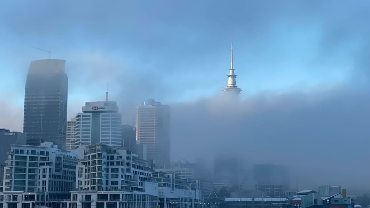
Dense Fog Spreads Across Key Transport Corridors
The Met Office has issued a yellow warning for fog covering large parts of England and Wales from Sunday evening, 8 November, through late Monday morning, 9 November 2026. The area affected stretches from around York in northern England down through the Midlands and into much of southeast and eastern England.
Publicly available guidance states that patches of dense fog are expected, with visibility in some locations falling below 100 metres and in the worst spots to around 50 metres. The warning was placed on the lower-impact end of the National Severe Weather Warning Service scale but still highlights a meaningful risk of disruption for road users and air passengers during one of the busiest commuting periods of the week.
The timing of the conditions coincides with early morning rush-hour traffic and the first wave of domestic and short-haul European departures from major airports. Travel reports indicate that forecasters expect fog to form and thicken overnight before slowly lifting through the late morning as temperatures rise.
According to recent broadcast coverage and national weather summaries, the current high pressure pattern, light winds and overnight cooling over moist ground have been described as creating a “perfect recipe” for widespread fog, particularly away from exposed coasts and higher ground.
Drivers Urged to Slow Down and Check Lights
Road safety advice linked to the yellow warning urges motorists to allow extra time for journeys, reduce speed and increase following distances when visibility deteriorates. Publicly available guidance emphasises the importance of ensuring that dipped headlights are on and that front and rear fog lights are used appropriately where visibility drops significantly.
Travel information from motoring organisations and local resilience guides notes that fog can transform familiar routes within minutes, making it harder to judge distances and spot stationary traffic, pedestrians or obstructions. On faster roads such as motorways and dual carriageways, sudden banks of fog can result in rapid changes in visibility over very short distances, increasing the risk of multi-vehicle collisions if drivers do not adjust their speed.
Official documentation explaining the UK alerting system classifies yellow warnings as situations where weather may cause some disruption to travel and daily life, particularly for those directly exposed to the conditions. For fog, this includes poor visibility for road, rail and air transport, with a recommendation that people “be aware” and consider whether they could be affected on their planned routes.
Public transport users are also being advised through operator updates and local travel bulletins to check live information before setting out, particularly for early morning bus and rail services crossing some of the most affected low-lying routes in central and southern England.
Potential Disruption at UK Airports
The Met Office warning text notes a chance of delays or cancellations to flights where dense fog persists across airfields and approach paths. Low visibility can force airports to reduce the rate at which aircraft are permitted to land and take off, leading to knock-on delays even if the warning remains in the yellow category.
Media reports highlight that London-area airports and hubs in the Midlands and southeast are particularly sensitive to prolonged fog, as they handle large volumes of early morning movements. While most airports are equipped with instrument landing systems designed to support landings in poor visibility, operational thresholds and spacing requirements can still slow traffic when runway visual range falls below set values.
Coverage on national news channels indicates that airlines have been advising passengers with Monday morning departures to monitor flight status through official apps or departure boards and to allow additional time to reach the airport, especially where road conditions are also affected by fog. Passenger guidance widely shared in recent seasons suggests that travellers consider hand luggage where possible to move more quickly through terminals during any disruption.
At this stage, there have been no broad reports of mass cancellations on the scale sometimes seen during snow or strong wind events, reflecting the lower impact category of the current yellow alert. However, experience from previous fog episodes shows that even short suspensions of operations can create localised queues and schedule changes that ripple through the day.
What a Yellow Fog Warning Signifies for Travelers
The yellow alert currently in force forms part of the UK’s National Severe Weather Warning Service, which uses yellow, amber and red categories to communicate both the likelihood of a weather event and its potential impact. In the case of the present fog warning, the Met Office matrix places the risk at high likelihood but with a low to moderate impact, meaning conditions are expected but the disruption is likely to be scattered rather than widespread.
Guidance documents available from national and local resilience bodies explain that travel generally remains possible under yellow warnings, but that extra care is strongly advised. For drivers, that means assessing whether journeys are essential during the worst visibility and considering delaying trips until conditions improve later in the morning if there is flexibility.
For rail and coach passengers, transport planning resources suggest building in additional time for connections, as services may reduce speeds through the thickest patches of fog. Ferry operators and smaller regional airports may also experience temporary disruption if visibility at terminals or on approach routes falls below operating limits.
Travel planners note that fog-related delays often ease relatively quickly once the sun rises and temperatures climb, although sheltered valleys and inland areas can retain poor visibility for longer. The current warning period, which runs until late morning, reflects that expected gradual improvement rather than an all-day event.
Looking Ahead and Practical Advice for Visitors
Forecast discussions indicate that, following the expiry of Monday’s yellow warning, no further UK-wide fog alerts were immediately posted for the middle of the week, although forecasters continue to monitor the same high pressure pattern that has favoured overnight cooling. Travellers arriving later in the week are being encouraged, through widely shared advice, to keep checking short-range forecasts in case additional patches of fog develop on clear nights.
For visitors driving hire cars, especially those unfamiliar with UK roads, transport safety leaflets recommend locating the fog light controls before starting a journey and turning them off again once visibility improves to avoid dazzling other drivers. It is also advised to avoid using full-beam headlights in fog, as the light can reflect back and further reduce visibility.
Those relying on domestic flights within the UK over the coming days may wish to book longer connections between flights or between rail arrivals and airport departures in case residual delays occur. Travel industry commentary following previous fog events notes that while yellow warnings rarely shut down the network, they do tend to expose any tight connections in itineraries, particularly at large hub airports.
With much of the disruption risk concentrated into a relatively short morning window, transport planners and weather agencies are continuing to emphasise simple, practical steps for both residents and international travelers: check the latest forecast before departure, monitor live transport updates and be prepared to slow down or adjust plans where dense fog lingers.