

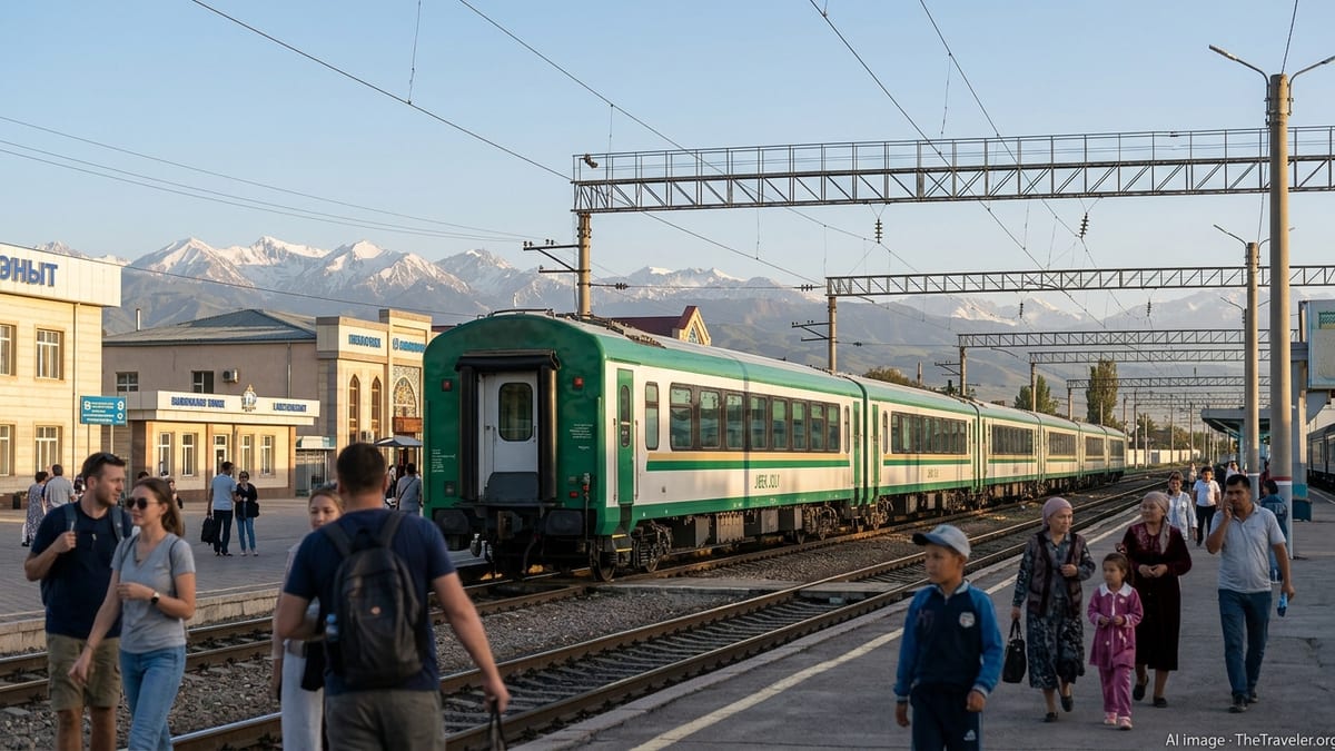
Afrosiyob Speeds Up Tashkent–Samarkand–Bukhara Tourism Link
Uzbekistan’s Afrosiyob high speed rail is tightening links between Tashkent, Samarkand and Bukhara, reshaping classic Silk Road itineraries and accelerating the country’s tourism ambitions.

I am writing observational travel analysis focused on how travel works beyond the surface.
Uzbekistan’s Afrosiyob high speed rail is tightening links between Tashkent, Samarkand and Bukhara, reshaping classic Silk Road itineraries and accelerating the country’s tourism ambitions.

Japan’s new Tokaido Shinkansen Lumiere Express introduces an overnight Tokyo–Osaka option, blending sleeper-style comfort with high-speed rail convenience for leisure and business travelers.
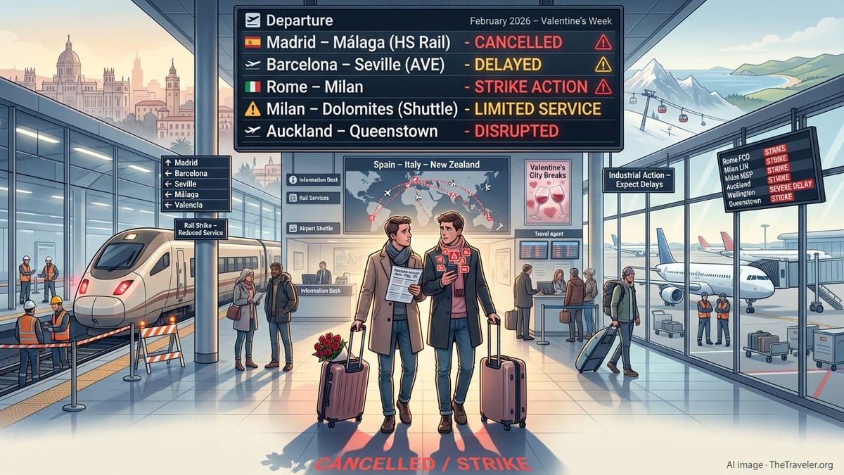
Across Europe, women’s fear of unsafe routes and transport is reshaping daily mobility and tourism, prompting new gender-focused safety standards and urban planning efforts.

Meghalaya’s new tourist taxi app aims to make hill travel faster, safer and more transparent, reshaping how visitors move across the state’s rugged landscapes.
In Japan’s northern tuna port of Oma, a little-known Mazu pilgrimage route is fast becoming a niche draw for Taiwanese travelers seeking faith and fresh seafood.
Thailand’s tourism agency has introduced a nationwide culinary map that turns food experiences into curated routes, linking local kitchens, culture and lesser known destinations.
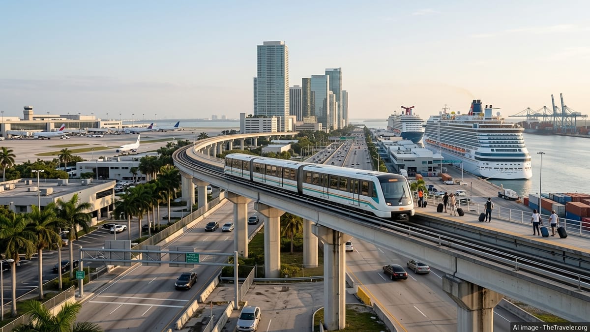
Orange and other Florida counties are escalating a high‑stakes battle over hotel taxes that could reshape tourism funding and ripple through the wider U.S. travel economy.
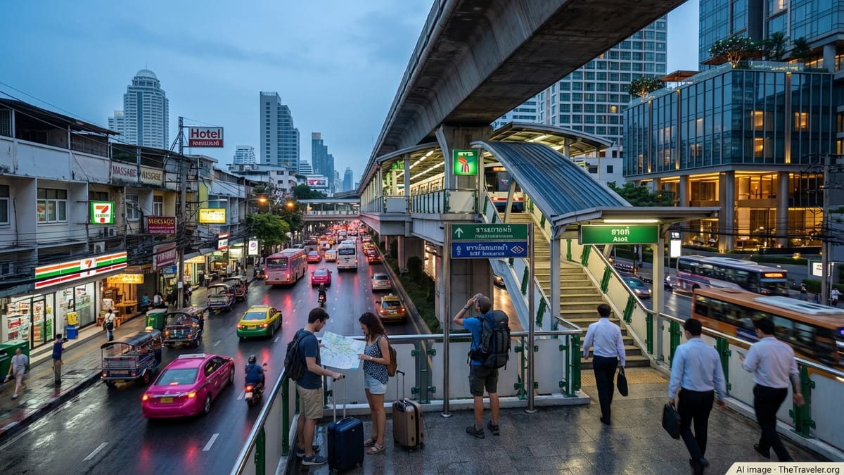
From Bangkok to Bali and Tokyo to Venice, more destinations are adding visitor fees. Thailand’s planned entry charge signals a new normal for international travelers.

Surging demand, relaxed entry rules and new air links are propelling a fresh era of intra‑Asian tourism, with South Korea emerging as a pivotal regional hub.

Connecticut tourism is accelerating with fresh campaigns, rising visitor spending and marquee events, positioning Hartford, New Haven and Stamford as distinct urban draws.
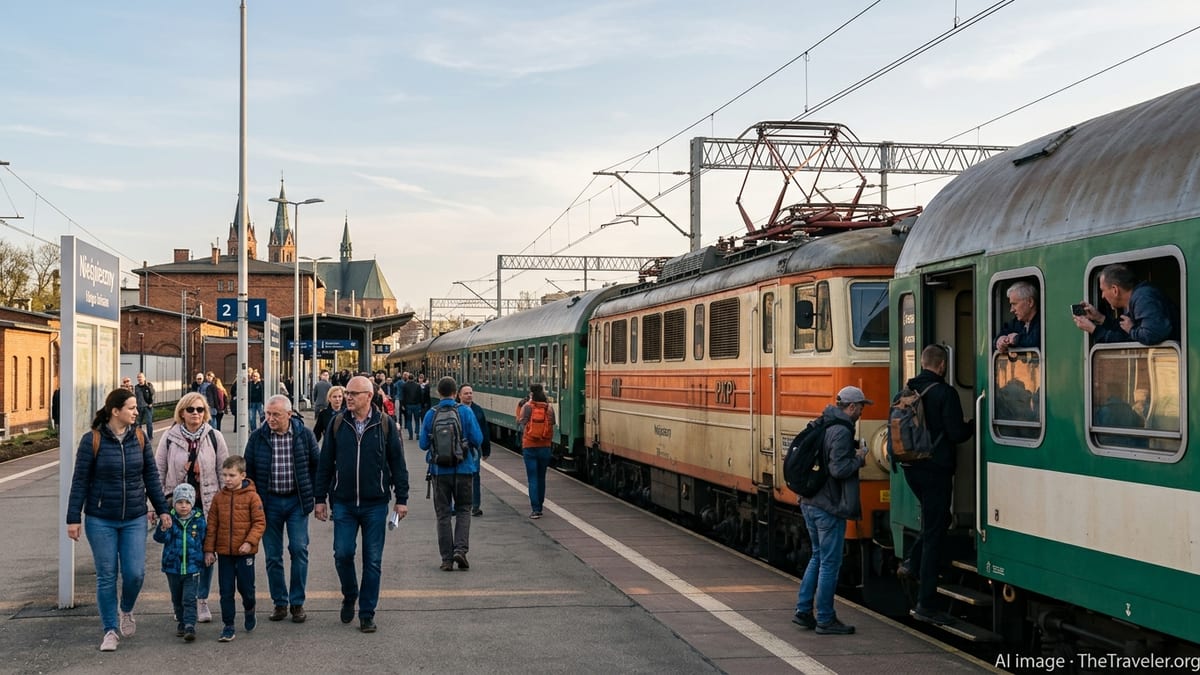
A new museum project in northeastern Poland spotlights the centuries-old Tatar minority, blending sacred sites, artifacts and living traditions into a coherent visitor experience.
Vietnam is moving to scale up medical tourism, targeting 750,000 foreign patients and US$2.5 billion in revenue by 2030 through new hubs and hospital investment.
New adults-only Dark Sky Lofts in West Sedona blends infrared saunas, hot tubs, and celestial-view lofts to tap booming demand for luxury wellness and astro-tourism.
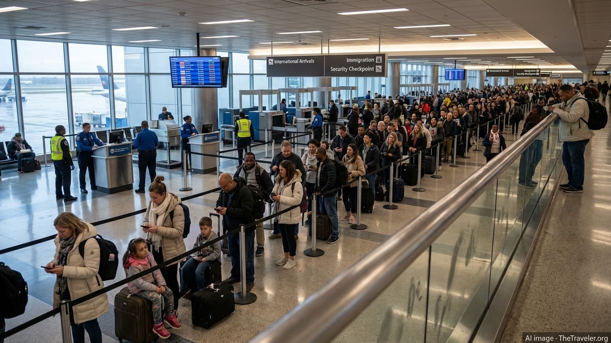
A wave of flight disruptions across Asia has left thousands stranded, as Hong Kong and regional hubs cancel 233 flights and delay more than 3,600 services.
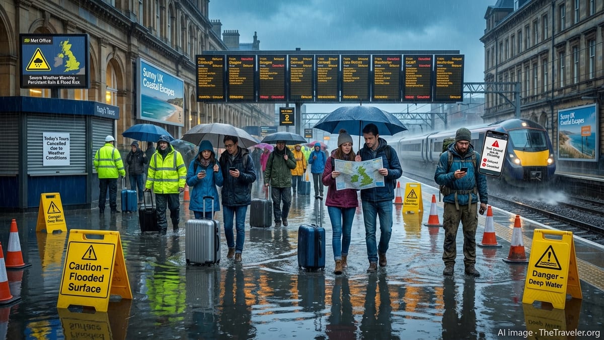
From Brazil’s Amazon to Asia’s islands, shrinking natural landscapes and El Niño‑linked extremes are reshaping where and how the world travels.