


Bulgaria and its Peers Power Europe’s Underrated Boom
From Black Sea beaches to medieval bays and canal-lined cities, Bulgaria, Montenegro and Belgium headline a fast‑rising wave of underrated European escapes.

I am writing observational travel analysis focused on how travel works beyond the surface.
From Black Sea beaches to medieval bays and canal-lined cities, Bulgaria, Montenegro and Belgium headline a fast‑rising wave of underrated European escapes.
Asheville’s tourism sector gains fresh momentum as a four‑year PGA Tour partnership brings the Biltmore Championship to town, reshaping the city’s sports‑driven visitor economy.

Portugal’s dedicated Michelin Guide, booming restaurant openings and regional food traditions are turning the country into Europe’s most compelling culinary hotspot.

New analysis highlights Florida, Indiana and Pennsylvania as standouts for budget friendly parks that combine beach escapes, wildlife viewing and easy access to nature.

Hermitage Bay, Curtain Bluff and Jumby Bay are driving a new wave of ultra-luxury investment that is lifting Antigua and Barbuda’s wider tourism economy.
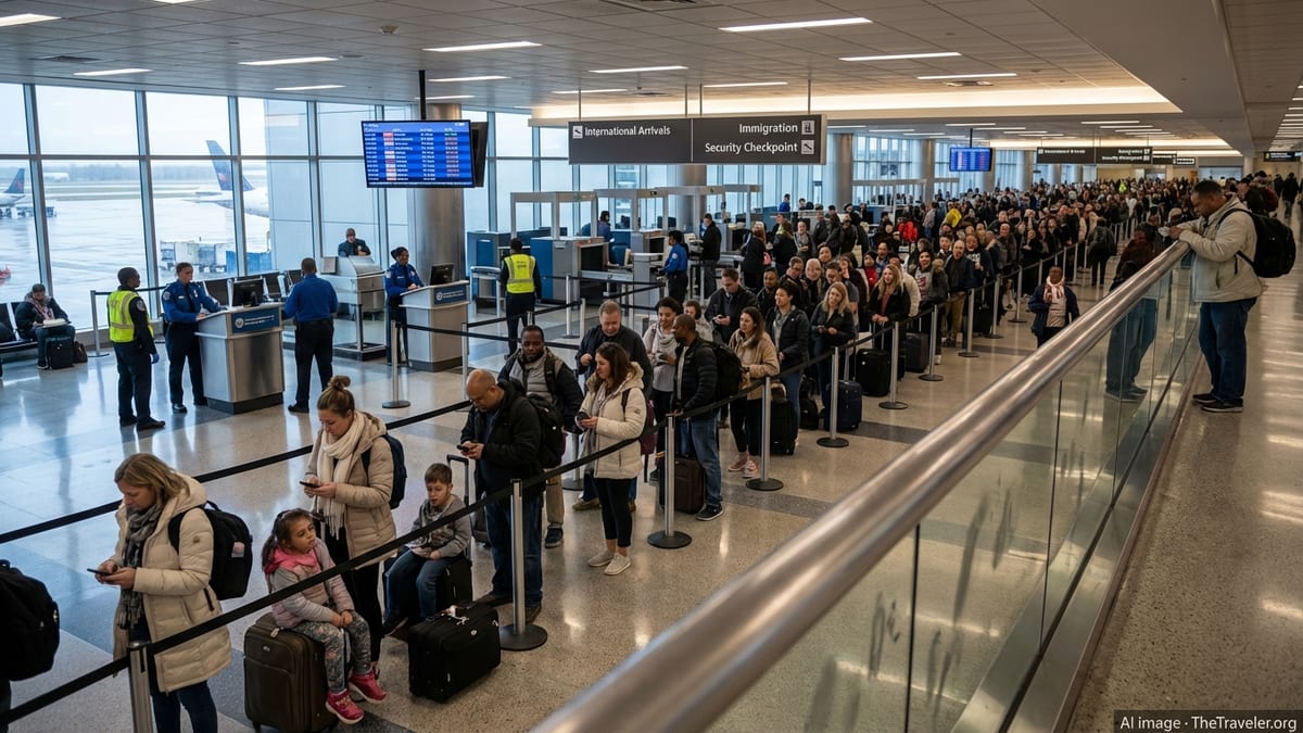
The United States has revoked more than six hundred visas and created a new interagency task force aimed at dismantling global birth tourism networks and related fraud.
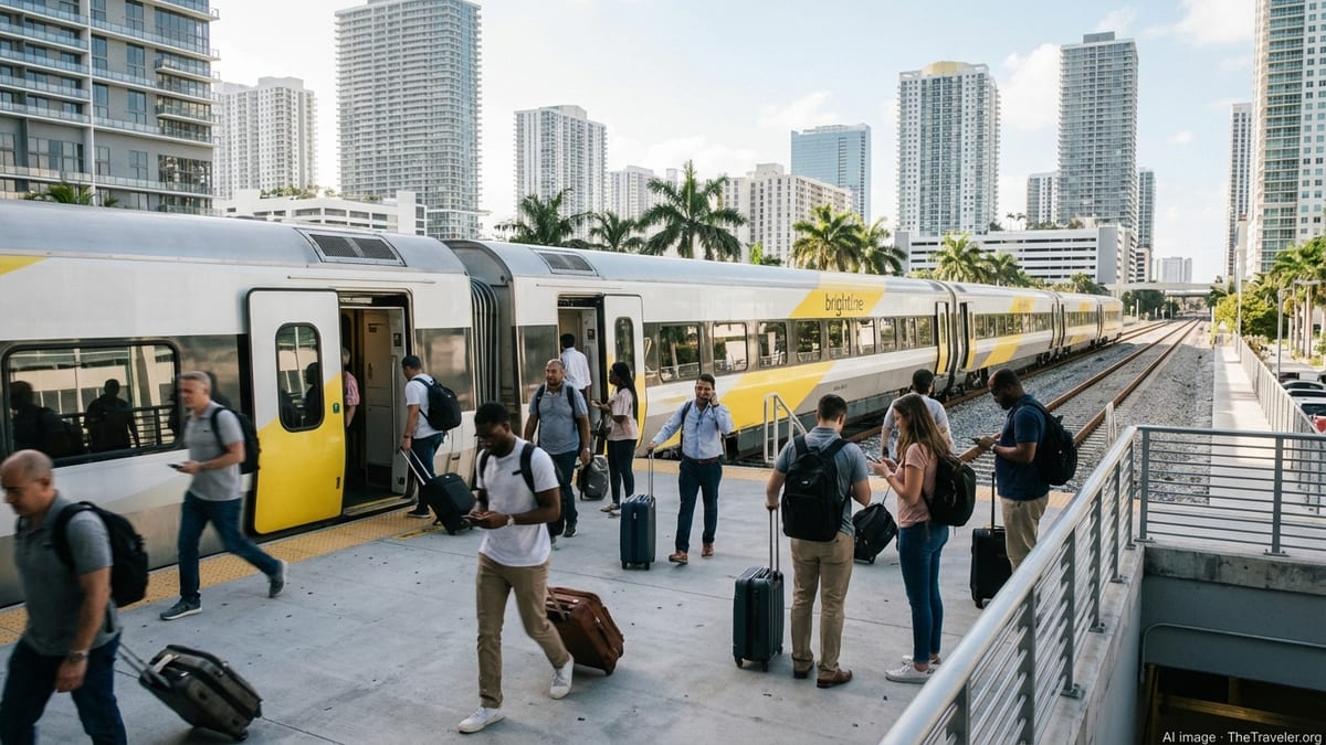
High prices for Europe and long-haul trips are prompting more Americans to choose Orlando and other value-focused U.S. destinations for summer holidays.
Eugene’s Willamette River Festival returns to the riverfront with paddling, music, art, and ecology programs that transform the city into a hands-on summer playground.

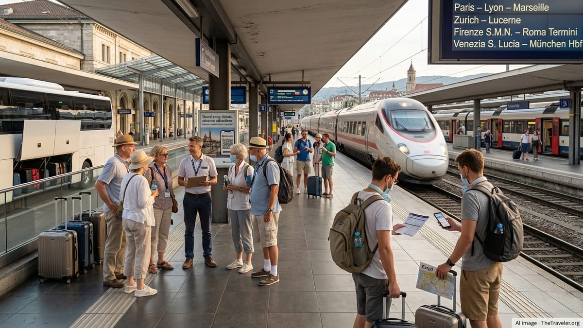
From Denmark to France and Germany, new 2026 schemes reward visitors who choose trains, passes and low‑carbon options. Here is how the perks work for travelers.
Costa Rica is emerging as a benchmark for sustainable tourism as GSTC urges governments and industry to accelerate concrete climate, community and biodiversity action.
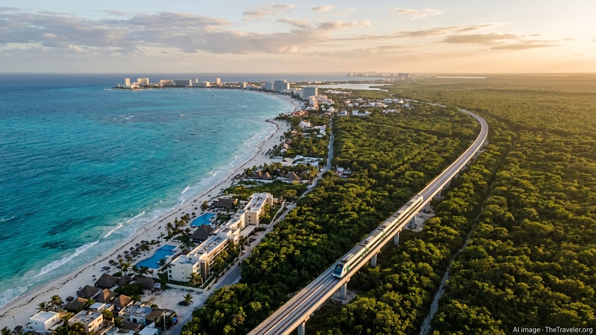
The U.S. Virgin Islands is emerging as a leader in a broader tourism boom as five global destinations add flights, chase record arrivals, and reshape air networks.
Delaware’s historic peach belt comes alive as Middletown’s Olde-Tyme Peach Festival returns, blending farm traditions, small-town pageantry and family travel appeal in one August weekend.

A new 2026 global nightlife index places eleven US cities, from Las Vegas to New York, among the world’s leading after-dark destinations.
On Oahu’s windward coast, Sea Life Park Hawaii is reshaping its operations around conservation, Hawaiian culture, and regenerative tourism aligned with new island-wide goals.
New data, recent incidents and safety campaigns are underscoring the real risks beneath Yellowstone’s dramatic scenery, prompting fresh alerts for travelers across America.