


More news on this day
Thick overnight fog is forecast to blanket large parts of central and southern England into Remembrance Sunday morning, raising the prospect of slower journeys and localised disruption for travellers heading to services and events.
Get the latest news straight to your inbox!
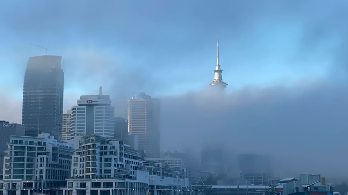
Yellow fog warning in place through Sunday morning
The UK Met Office has issued a yellow warning for fog from midnight to 10:00 on Sunday 8 November, covering a broad swathe of England from the Midlands to the south coast. Forecasts indicate dense patches developing during the early hours, with visibility in some areas expected to drop below 50 metres.
The warning area stretches from around Stoke-on-Trent in the north, across parts of the East and West Midlands, down through central southern England and the South East, taking in routes towards Exeter in the southwest and Brighton on the south coast. Regional overviews highlight particular concern for sections of the West Country, central southern England, and parts of the London and South East region where fog is expected to be slow to clear.
Publicly available guidance notes that yellow warnings signal a combination of a relatively high likelihood of hazardous weather and moderate potential impacts. In this case, the primary concerns relate to difficult driving conditions, reduced visibility on key road corridors, and the risk of knock-on delays for public transport during one of the UK’s busiest commemorative mornings.
National forecasts ahead of the weekend describe a generally settled pattern dominated by high pressure, light winds and clear night skies across England. Meteorological briefings attribute the fog risk to this combination of calm conditions and cooling overnight temperatures, which favour widespread formation of mist and low cloud that may become dense and persistent in places.
Impact on Remembrance Sunday travel plans
The timing of the fog risk coincides directly with morning journeys to Remembrance Sunday services, which traditionally centre on the two minutes’ silence at 11:00. While the yellow warning currently expires at 10:00, outlooks suggest that fog could linger later in some sheltered valleys and low-lying areas of central and southern England.
Travel information based on the official warning framework highlights the possibility of slower journey times and localised disruption to bus and rail services within the affected area. Where visibility drops sharply on exposed sections of motorway or A-roads, drivers are likely to encounter reduced speeds and potential congestion as traffic adapts to the conditions.
Aviation is also identified as at risk, with guidance flagging a chance of delays or cancellations to flights during the worst of the fog. Several of England’s busiest airports, including those serving London and the Midlands, fall within or close to the warning zone, increasing the potential for knock-on effects to domestic and short-haul European services during the morning peak.
National forecasts indicate that, once the fog lifts, many southern and central areas should see brighter spells later on Sunday, with light winds and temperatures near seasonal averages. For travellers returning from services or parades later in the day, conditions are expected to be significantly more straightforward than during the morning departure period.
Where conditions could be most challenging
Forecast detail points to the highest likelihood of persistent fog across parts of the West Country, central southern England and some inland sections of the South East. Valleys such as the Severn corridor and low-lying areas of counties including Gloucestershire, Wiltshire and parts of Oxfordshire are highlighted in media coverage as locations where fog may be slowest to clear.
Within the yellow warning area, local variations are expected to be significant. Forecast discussions emphasise that visibility can deteriorate quickly over short distances, with one stretch of road or railway affected by dense fog while nearby locations experience only mist or low cloud. This patchiness makes it difficult to pinpoint exact hotspots but reinforces the need for travellers to be prepared for sudden changes.
Urban areas within the warning zone, including much of Greater London and surrounding commuter counties, may experience a mix of conditions. City centres can sometimes see marginally better visibility due to the urban heat island effect and slightly higher air movement, while outlying suburbs and approach roads remain foggy. For those driving into major towns and cities for civic services, the most challenging conditions may be encountered on rural or semi-rural approaches rather than within central districts themselves.
Farther north, across northern England and Scotland, forecasts suggest more cloud and patchy rain at times, but without the same widespread fog hazard flagged for central and southern regions. However, separate pockets of mist and poor visibility remain possible, particularly overnight and around dawn.
Practical guidance for drivers and public transport users
Travel advice linked to the Met Office warning encourages road users to allow extra time for journeys on Sunday morning, check traffic updates before departure and be prepared to adjust plans where necessary. Motorists are urged to ensure fog lights are in working order and to use them appropriately where visibility is severely reduced, while avoiding high-beam headlights that can reflect off fog and further impair vision.
Safety guidance recommends reducing speed, increasing following distances and avoiding sudden manoeuvres in dense fog. On faster routes such as motorways and dual carriageways, drivers are advised to be alert to rapidly changing visibility, particularly when entering low-lying sections, river crossings or cuttings where fog tends to accumulate.
For those relying on public transport to reach Remembrance Sunday events, operators are advising passengers through standard channels to check timetables and live service updates before travelling. Where fog affects signalling sightlines, platform operations or airport movements, knock-on delays are possible even on services starting outside the most affected zones.
Travellers with early flights from airports within or near the warning area may face additional checks or schedule revisions if visibility drops below operational thresholds. Guidance encourages passengers to monitor airline or airport communications closely on Saturday night and Sunday morning, and to allow extra time for check-in and security in case of altered boarding procedures or gate changes.
What the pattern says about early winter weather
The fog warning arrives after a wetter-than-average October across the UK, when several named storms brought heavy rain and strong winds. In contrast, the current period of high pressure has created calmer, colder and more settled conditions more typical of early winter, with fog and localised frost emerging as the main weather-related travel hazards.
Background information from the Met Office on fog climatology explains that formal warnings for fog are less frequent than those for wind or rain, because dense fog tends to be highly localised and is harder to predict in terms of exact timing and extent. Small changes in temperature, wind speed and humidity can determine whether conditions develop into dense fog, remain as lighter mist or fail to form at all.
Despite their relative rarity, fog warnings are recognised as significant for transport, given the potential for sudden visibility drops to affect road, rail and air networks. The current yellow alert for Remembrance Sunday illustrates how even moderate-impact warnings can become especially important when they coincide with nationally significant dates and large-scale public gatherings.
Outlook commentary from national forecasts suggests that mist and fog could remain a feature for parts of England into the early part of next week, particularly overnight and during the morning commute. Travellers planning further journeys in the days following Remembrance Sunday are advised to continue monitoring updated forecasts as the high-pressure pattern evolves.