


More news on this day
Travelers moving through Hartsfield Jackson Atlanta International Airport faced rolling ground delays after strong thunderstorms swept across North Georgia, but operations began to stabilize as severe weather warnings expired and storm cells shifted away from the metro area.
Get the latest news straight to your inbox!
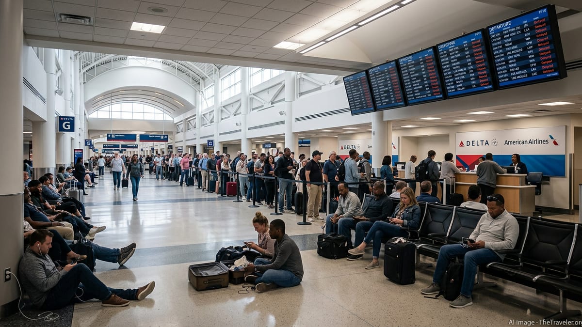
Ground delay program slows flights at world’s busiest hub
According to real time air traffic planning data, a ground delay program was put in place for Atlanta on Saturday evening, temporarily throttling arrivals into Hartsfield Jackson as thunderstorms reduced the airport’s usable capacity. Ground delay programs are a standard traffic management tool used when expected arrivals exceed what an airport can safely handle in poor weather, causing flights bound for the hub to be held at their departure points.
Publicly available aviation guidance shows that the program remained active into the late evening hours, with flights to Atlanta assigned new, later departure times to smooth the flow of traffic. While the measure helps prevent airborne holding and diversions, it can lead to longer waits at origin airports and missed connections once passengers reach the hub.
The latest advisory information indicated that the most restrictive phase of the program tapered off before midnight as storm intensity decreased in the immediate Atlanta area. As arrival rates improved, air traffic planners gradually relaxed delay intervals, allowing more flights to launch toward the airport and reducing the backlog of aircraft waiting on the ground.
Even as the official program wound down, some residual delays continued into the night as airlines worked through earlier cascading disruptions. Travelers connecting through the hub faced tight margins for onward flights, and crews and aircraft were often out of their planned positions because of the earlier constraints.
Severe thunderstorm warnings expire across North Georgia
National Weather Service products for the Atlanta region earlier highlighted the risk of strong to severe thunderstorms across portions of North and central Georgia, with the potential for damaging wind gusts and frequent lightning. During the height of the storms, multiple severe thunderstorm warnings were issued for counties northwest and northeast of the city, including areas along key approach and departure corridors feeding Atlanta’s airspace.
By late evening, those severe warnings had been allowed to expire as the strongest cells weakened or shifted away from the Atlanta metro area. Forecast discussions issued for the region described a very warm and humid air mass that has repeatedly fueled afternoon and evening thunderstorms in recent days, but noted that the most intense activity associated with this episode was gradually diminishing.
With warning polygons shrinking and radar imagery showing a broken, less organized line of storms, the immediate threat of widespread severe weather to the airport lessened. Lighter rain and scattered non severe thunderstorms persisted in parts of the state, but the conditions that initially prompted the strictest air traffic constraints began to ease.
Meteorological analyses point to typical midsummer instability as the driver of the outbreak, combining high temperatures, rich low level moisture, and upper level disturbances moving across the Southeast. Those ingredients favored rapid thunderstorm development in the afternoon and early evening before a gradual loss of energy overnight allowed storms to decay.
Impact on travelers passing through Atlanta
For passengers, the combination of ground delay measures and active thunderstorms translated into a familiar pattern of extended waits, gate changes, and rebookings at one of the world’s busiest connecting hubs. Airline status boards through the evening reflected a mix of late arrivals and departures, particularly on routes that feed into Atlanta from nearby southeastern cities also influenced by the same storm system.
Reports from airline tracking services and traveler accounts on social platforms described lines at customer service counters as passengers sought alternative routings and overnight accommodations. Those on tight domestic or international connections were among the most affected, sometimes arriving in Atlanta to find that onward flights had already departed or been rescheduled for the following morning.
Operational planning documents for Hartsfield Jackson show that the airport maintains a detailed tarmac delay contingency plan designed to keep aircraft turning even when storms are nearby. That plan outlines procedures for moving aircraft to hardstands, prioritizing deplaning in the event of extended holds, and coordinating with airlines and ground handlers when lightning or heavy rain temporarily shuts down ramp activities.
Although individual experiences varied depending on airline and itinerary, the gradual reduction of delays as the program eased helped limit the scale of overnight disruptions. Many carriers adjusted by swapping aircraft, extending crew duty where regulations allowed, and opening additional customer support channels to process changes.
What travelers should know for upcoming flights
Outlook discussions from meteorologists in the Atlanta region suggest that the underlying pattern of hot, humid afternoons and scattered storms will persist into the coming days, even as the particular severe weather episode affecting North Georgia diminishes. That means travelers can expect continued risk of localized thunderstorms during peak travel hours, especially in the late afternoon and evening windows when traffic at Atlanta is heaviest.
Airline and aviation planners routinely monitor these conditions and can implement new ground delay programs on relatively short notice when forecasts show that storms are likely to intersect major arrival and departure routes. Because these initiatives are adjusted over the course of the day as radar and satellite imagery evolve, published coverage and real time flight status tools remain key indicators of how severely operations may be affected.
Travel behavior in recent summers underscores how quickly weather related constraints can ripple through hub networks, particularly when they strike during already busy travel periods. Passengers with flexibility are often encouraged by travel experts to book earlier flights, giving themselves a buffer in case storms build in the afternoon and trigger new delay programs similar to the one Atlanta experienced.
For those with imminent trips, monitoring forecast updates for North Georgia, checking flight status frequently, and allowing extra connection time through the hub can help mitigate the risk of missed flights and last minute schedule changes. While the latest round of severe thunderstorms has weakened and warnings have expired, the broader summer storm pattern means Atlanta’s operations are likely to remain sensitive to fast changing weather in the region.
Atlanta’s ongoing balancing act between growth and weather risk
Hartsfield Jackson’s central role in U.S. air travel means that even short lived ground delays can have outsized effects across the national network. Research into delay propagation within the airspace system has repeatedly found that weather related constraints at major hubs like Atlanta can reverberate through dozens of downstream airports as crews and aircraft are delayed or displaced from their original rotations.
At the same time, the airport continues to work through multi year airfield improvement projects, including taxiway pavement replacement and safety area enhancements, which are intended to sustain high traffic volumes while maintaining safety margins. Federal assessments of these projects note that construction can temporarily reduce capacity and contribute to greater delay impacts when combined with adverse weather.
Academic studies focused on Atlanta’s arrival and surface operations have highlighted how predictive models and data driven tools are being developed to better anticipate runway exit points, optimize taxi flows, and revise ground delay programs in real time. Such efforts aim to give traffic managers more flexibility when thunderstorms emerge, allowing them to avoid overly conservative constraints while still prioritizing safety.
As the latest storms move out of North Georgia and Atlanta’s ground delay measures recede, the episode serves as another reminder of how closely the airport’s performance is tied to the region’s volatile summer weather. For travelers and airlines alike, the challenge remains finding ways to build resilience into schedules in a season when a single line of storms can reshape an evening’s operations.