


More news on this day
Storm Austen is sweeping across parts of the United Kingdom on Friday 23 October 2026, with strong winds and heavy rain disrupting road, rail and ferry links and prompting widespread advice for travellers to review or delay journeys.
Get the latest news straight to your inbox!
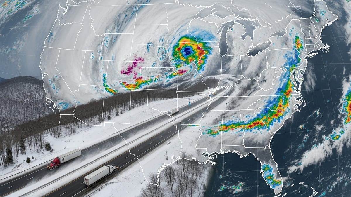
Strong winds, heavy rain and weather alerts in place
Met Office weather warnings in force on Friday highlight the risk of transport disruption as Storm Austen moves across the UK, bringing gusts widely in the 50 to 60 mph range and higher in exposed coastal and upland areas. Yellow warnings for wind and rain cover much of Wales and south west England, with local authorities in counties such as Devon highlighting an increased risk of fallen trees, debris on roads and difficult driving conditions.
In Devon, an amber wind warning has been highlighted for parts of the county, with local public information noting the potential for damaging gusts and advising people to review travel plans, particularly on coastal and high level routes. Guidance being shared by councils and emergency planners stresses that high-sided vehicles, cyclists and motorcyclists are especially vulnerable in these conditions and that journey times are likely to increase, even where routes remain open.
Forecasts indicate that Storm Austen’s heaviest impacts are expected through Friday morning and into the afternoon, with a further spell of unsettled weather possible on Saturday as another low pressure system approaches. Public forecasters emphasise that heavy rain falling on already saturated ground may lead to surface water on roads, localised flooding and poor visibility, especially in rural areas.
Across the wider UK, national outlooks describe Storm Austen as the first named storm of the 2026/27 windstorm season, following its naming earlier in the week due to its potential to cause medium levels of impact to transport and infrastructure. The storm is tracking eastwards across Ireland and into Britain, with transport operators making pre-emptive changes to timetables in an attempt to keep services safe and manageable.
Rail services cut back and speed restrictions imposed
On the railways, Network Rail and train operators have introduced reduced timetables and speed restrictions in the areas expected to see the strongest winds and heaviest rain. Public travel advice issued on Thursday 22 October and updated on Friday indicates that services across parts of Wales and the south west of England are being altered, with some trains cancelled in advance to reduce the risk of disruption spreading across wider parts of the network.
Great Western Railway has published dedicated Storm Austen travel advice stating that strong winds are affecting services in Devon and Cornwall on Friday, with changes including reduced frequencies on some regional routes, the removal of certain high speed services and short-notice amendments where trees or debris are reported near the line. Passengers holding tickets dated for Friday are being offered the option to travel on alternative days, including Saturday 24 and Monday 26 October, at no extra cost.
CrossCountry services through south west England are also heavily affected. National Rail incident information describes a pattern of disruption expected to last at least until the end of Saturday, with trains subject to extended journey times, diversions and cancellations. In some locations, particularly on coastal stretches of line, precautionary speed limits are being imposed to reduce the risk posed by high winds and waves.
In Wales, information published through National Rail for Transport for Wales services explains that Storm Austen is coinciding with planned engineering works, meaning some routes are operating amended timetables while others are closed and replaced by buses. The operator has warned that local road conditions may be poor, and that where roads are blocked or unsafe it may not be possible to run rail replacement transport. Travellers are being advised to check journey planners immediately before departure and to consider postponing non essential trips.
Road conditions deteriorate in storm-affected regions
On the road network, regional updates from councils and highways bodies in the south west of England and Wales report a growing number of weather related incidents as Storm Austen’s strongest winds arrive. These include fallen branches, scattered debris and standing water, with a smaller number of full road closures where larger trees or power lines have come down.
In Devon and Cornwall, local authorities have urged people to avoid coastal roads and seafronts during the peak of the storm, noting the risk from large waves and overtopping in combination with periods of high tide. Drivers are being encouraged to allow extra time, reduce speed and be prepared for sudden hazards around bends or after tree lined sections of road, where fallen material may not be visible until the last moment.
National guidance from forecasters and transport agencies recommends that those who must drive should plan routes that stick to major roads where possible, as these are cleared first and benefit from better drainage and lighting. Motorists are being advised to keep fuel tanks topped up, carry warm clothing and a charged mobile phone, and check local radio or travel information services for updates on closures and delays.
For some rural communities, particularly in upland areas of Wales and south west England, there is a risk of temporary isolation if multiple local roads are blocked by trees or flooding. Contingency messages shared by local resilience forums suggest that residents and visitors in these locations should consider bringing forward essential journeys to avoid the worst of the weather and ensure they have basic supplies in case travel becomes difficult for several hours.
Channel and regional ferry crossings disrupted
Ferry links around the UK are also experiencing disruption as Storm Austen passes through. Public travel updates from sea transport operators and local news outlets report cancellations and delays on shorter cross channel services and on some of the ferry routes linking mainland Britain with nearby islands, where exposed sea conditions make sailings unsafe.
In the Channel region, strong winds and high seas have led to suspensions or amendments on several services between southern England and northern France. Passengers are being advised to check the status of individual sailings before travelling to ports and to be prepared for possible overnight changes if conditions do not improve in line with forecasts. Some operators have indicated that tickets for affected sailings can be transferred to alternative departures without change fees, subject to availability.
Further north and west, ferry routes serving islands and peninsulas are also vulnerable to disruption. Publicly available information from previous UK storms and from current operator advisories suggests that services to locations such as the Isle of Wight, the Isles of Scilly and Scottish islands can be heavily affected when wind gusts exceed safe thresholds or when harbour approaches become hazardous. Travellers booked on these routes during Storm Austen are being urged to monitor operator channels closely for short notice cancellations.
Harbour authorities and coastguard services continue to advise against sea travel in small craft over the period when the most severe conditions are expected. Recreational sailors and commercial operators in smaller vessels are being warned that rapidly changing wind strength and direction, along with rough seas, may make navigation difficult and increase the risk of incidents.
Flexible ticket policies and advice for travellers
Across the rail network, published guidance from National Rail and individual operators sets out a range of flexible ticket arrangements in response to Storm Austen. Customers holding advance or day tickets for the worst affected dates, particularly Friday 23 and Saturday 24 October, are being permitted to travel on alternative days such as Thursday 22 or Monday 26 October, helping to spread demand away from the peak of the disruption.
Refund policies have also been relaxed in many cases, with operators including Great Western Railway and CrossCountry stating through their public information channels that passengers who decide not to travel because of Storm Austen related disruption can claim fee free refunds. This approach mirrors practice during earlier UK storms and is intended to give travellers confidence to postpone journeys if they are concerned about safety or significant delays.
For those who need to travel, recurring advice from rail, road and ferry operators is to check live information as close as possible to the time of departure. Online journey planners, real time disruption maps and operator social media feeds are being updated frequently as conditions change and new incidents occur. Travellers are also being reminded that even where a service is shown as running, extended journey times are likely and connections may not be guaranteed.
Visitors from overseas and those unfamiliar with UK weather patterns are being encouraged by publicly available guidance to pay close attention to the wording of Met Office weather warnings. A yellow warning signals that travel is possible but disruption is more likely than on a normal day, while amber and red warnings indicate a higher risk of more severe impacts. In the context of Storm Austen, this means that some regions may see only minor inconvenience, while others, especially coastal and upland areas in the south west and parts of Wales, could experience more prolonged interruptions to normal travel.