


More news on this day
Millions of airline passengers across the United States are facing fresh disruption on November 10 as a fast‑moving storm system brings low clouds, gusty winds and rain to at least nine major airports, triggering ground delay programs, arrival restrictions and mounting queues in terminals.
Get the latest news straight to your inbox!
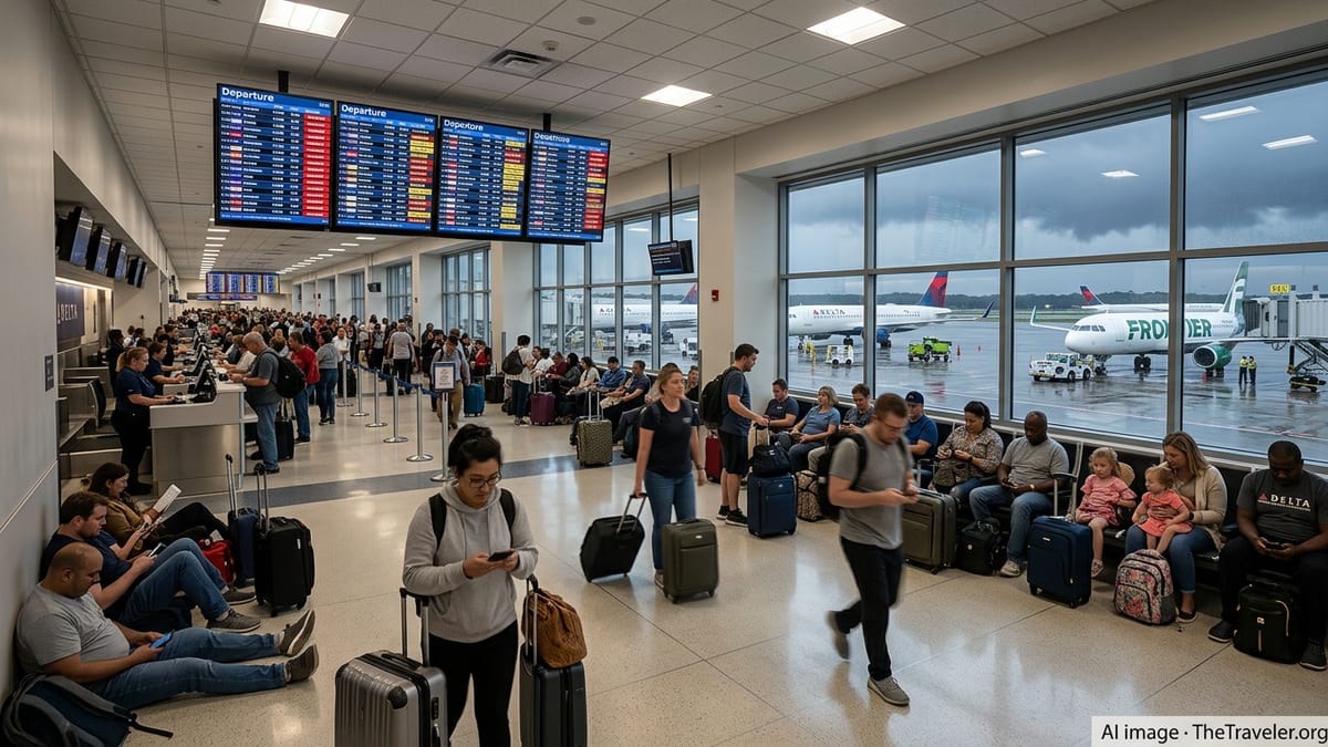
Nine Airports Under Weather Pressure Today
Publicly available air traffic dashboards based on Federal Aviation Administration data show weather‑related traffic management initiatives in effect at nine US airports at various points on Tuesday, November 10. A mix of low ceilings, reduced visibility and crosswinds has led to formal ground delay programs at hubs including Seattle–Tacoma International and New York LaGuardia, with knock‑on restrictions reported at Boston Logan and other busy East Coast fields.
One disruption monitor that compiles FAA advisories reported a ground delay program at Boston Logan and recent programs at four other airports earlier in the day, reflecting the spread of the current system along the northern tier. Another live tracker that reads the FAA’s National Airspace System status feed highlighted delays building at several large coastal airports where arrival rates have been temporarily reduced to keep operations within safety margins.
Weather‑driven caps on arrivals and departures are particularly visible at airports operating near peak capacity in the morning and late afternoon banks. On a typical day, FAA data indicate that US facilities handle more than 45,000 flights, so even relatively short‑lived restrictions at a handful of busy hubs can affect several hundred thousand passengers as aircraft, crews and connections fall out of sequence.
Historic FAA statistics for core airports suggest that the number of ground stops and similar measures has been rising in recent years, in part because more intense convective weather can overwhelm already crowded airspace. A 2024 agency overview noted that ground stops at the 30 largest airports increased by almost one fifth year on year, underscoring how quickly regional storms now ripple through the national network.
Storm Track Targets Coasts and Key Hubs
Forecast charts from the National Weather Service’s Aviation Weather Center show a band of disturbed weather stretching from the Pacific Northwest across the Upper Midwest and into the Northeast on November 10. Low cloud layers, rain and embedded thunderstorms along this corridor are expected to periodically push conditions below visual‑flight minima at some airports, forcing reliance on instrument approaches and reducing the rate at which controllers can safely space arrivals.
In the Pacific Northwest, Seattle–Tacoma has been highlighted on several airport‑delay maps for low ceilings and visibility reductions during the morning hours, with additional delays possible if winds shift to align poorly with active runways. Along the East Coast, a separate frontal boundary has brought gusty surface winds and scattered showers from Washington to Boston, with LaGuardia and other New York‑area airports appearing on advisory lists for slower arrival flows.
Farther inland, radar mosaics show bands of rain crossing several Midwestern states, with occasional references on delay trackers to holding patterns and reroutes for flights inbound to Chicago and Detroit. Although not all of these locations have formal ground delay programs in effect at the same time, the cumulative impact resembles a rolling constraint on the main corridors that connect East and West Coast traffic.
Forecast discussions indicate that the main disturbance will continue eastward into the Atlantic tonight, but lingering low clouds and residual showers could still affect early‑morning operations on Wednesday, November 11. As a result, passengers with tight overnight connections through northern airports may encounter residual disruption even after the most acute phase of the storm has passed.
Wave of Delays Builds Through the Day
Several independent services that visualize FAA feeds report that the number of delayed flights grows rapidly once weather‑related programs begin at the first few hubs of the day. One live tracker put nationwide same‑day delays in the thousands by early afternoon Eastern time, attributing most of them to weather, airspace volume constraints and late‑arriving aircraft that had been held earlier in the schedule.
The effect is not limited to airports directly in the storm’s path. Because many carriers bank flights through a small number of connecting hubs, a ground delay program in Seattle or New York can propagate missed connections to secondary airports hours later. Passengers departing from smaller cities may encounter delays even under clear skies when their inbound aircraft and crews are stuck behind restrictions imposed at one of the nine affected hubs.
Analysis of past delay data published by the US Bureau of Transportation Statistics shows that weather and national airspace issues account for a significant share of arrival delays at the country’s busiest airports. In 2024, national aviation system causes, including non‑severe weather and traffic‑flow management, represented close to one tenth of all delay minutes, and those percentages typically spike on days when multiple regions experience storms simultaneously.
Travel industry coverage also points to the compounding effect of constrained staffing in both air traffic control and ground operations. When thunderstorm cells or low‑cloud layers demand more tactical rerouting and spacing, controllers and ramp personnel have less flexibility to recover the schedule quickly once the immediate hazard eases, leading to lingering disruption through the evening hours.
How Airlines and Passengers Are Responding
Major US airlines routinely publish travel advisories and fee‑waiver policies when extended periods of severe weather are expected to affect large regions. Recent examples in the past two months have covered events such as East Coast thunderstorms and tropical systems in the Gulf, allowing passengers to rebook without change fees within specified date windows when forecasts indicated a significant risk of disruption.
For the current storm cycle, publicly visible customer‑information pages and automated waiver trackers indicate that carriers are monitoring conditions closely at the nine airports under pressure, but any broad, system‑wide waivers tend to depend on how the weather evolves over several forecast cycles. Where delays remain modest and spread across multiple hubs, airlines may focus instead on targeted reaccommodation of affected passengers on later flights.
Consumer‑rights platforms note that passengers facing cancellations or very long delays should review their carrier’s contract of carriage and any applicable federal rules to understand what assistance is offered when disruption is categorized as weather related. While compensation policies vary, rebooking on the next available flight and meal or hotel support in certain circumstances may be available, particularly when knock‑on effects persist after the most hazardous conditions have lifted.
Travel‑planning services that combine FAA feeds with historical performance data advise that travelers expecting to pass through any of the nine cities experiencing programs today build in extra connection time, favor earlier departures in the day where possible, and monitor both airline apps and independent flight‑status tools for changes. On busy storm days, schedules can change multiple times within a few hours as controllers and dispatchers adjust routes and arrival rates to match real‑time weather.
Staying Informed as Conditions Change
Aviation specialists stress that information can lag by several minutes between different public dashboards that draw on FAA and National Weather Service feeds. The FAA’s own daily air traffic report outlines expected systemwide impacts from storms, low clouds and other constraints, while the agency’s status boards list ground stops, delay programs and airport advisories that are refreshed every few minutes.
The National Weather Service’s Aviation Weather Center and its network of Center Weather Service Units issue graphical products and short‑term discussions highlighting turbulence, icing, surface winds and low‑visibility threats along major routes. These products are designed primarily for pilots and dispatchers but can give interested passengers a sense of where the most challenging conditions are expected over the next six to twelve hours.
Independent services that translate this technical information into simple color‑coded maps of airport delays have grown in popularity among frequent travelers. Several of these tools display which airports currently have formal programs in place and estimate how many flights and seats are affected based on historic patterns, giving a rough indication of how crowded terminals and rebooking queues may become as the day progresses.
As the November 10 storm sequence continues to move across the country, further advisories for additional airports remain possible if convective cells intensify or visibility drops more than forecast. Passengers with flexibility are being encouraged by publicly available guidance from airlines and travel‑advice platforms to consider voluntary rebooking away from the busiest mid‑day and evening peaks at the most constrained hubs, to reduce the risk of becoming caught in the next wave of weather‑related delays.