


More news on this day
Millions of US air passengers are being urged to brace for potential delays and missed connections as a combination of low clouds and gusty winds threatens flight operations at nine major airports on Tuesday, November 10, according to federal air traffic planning data and live disruption trackers.
Get the latest news straight to your inbox!
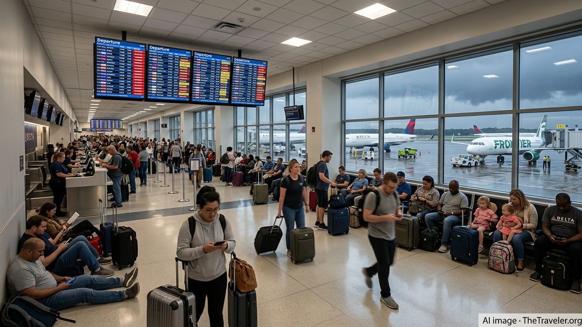
Nine key airports flagged for weather-related disruption
The Federal Aviation Administration’s Daily Air Traffic Report for Tuesday, November 10 highlights low cloud ceilings around Austin, Houston, San Antonio, San Francisco and Seattle, conditions that can require wider spacing between aircraft and slower arrival and departure rates. The same report notes gusty surface winds around Boston, New York area airports and Philadelphia, which can complicate approaches and departures and force temporary traffic flow restrictions.
The air traffic planning update lists Austin Bergstrom International, Houston Hobby, George Bush Intercontinental, San Antonio International, San Francisco International and Seattle Tacoma International among the airports where low clouds may slow traffic. It also warns that strong winds could delay flights into and out of Boston Logan International, Newark Liberty International, John F. Kennedy International, LaGuardia Airport and Philadelphia International.
Analysis from several live disruption trackers that aggregate FAA National Airspace System feeds shows that on Tuesday morning at least one formal delay program was in place at Boston Logan, with additional metering and spacing measures fluctuating across the Northeast corridor. These programs adjust the rate at which flights are allowed to land or depart and can quickly cascade into missed connections and rolling delays for passengers across the country.
Independent delay tracking services report that a single extended delay program can push average waits for affected flights well beyond one hour, with the worst case for Tuesday listed at more than two hours for some Boston arrivals. Although those figures are projections, they highlight how quickly a localized weather pattern can ripple through tightly scheduled airline networks.
Thunderstorms and low ceilings challenge pilots and controllers
Publicly available FAA planning documents and research summaries emphasize that thunderstorms and low cloud ceilings remain among the most disruptive weather factors for US aviation. When ceilings drop or visibility is reduced, air traffic controllers typically increase the spacing between arriving aircraft, reducing the number of planes that can land in a given period. Even modest reductions in capacity at a busy hub can trigger knock-on delays for aircraft and crews scheduled to operate later flights.
In the South and West, low clouds around Austin, San Antonio, Houston, San Francisco and Seattle on Tuesday add to the challenge. Live airport weather feeds show layered cloud decks and intermittent showers across parts of Texas, with marine air and coastal stratus affecting San Francisco and a moist Pacific pattern influencing Seattle. While these conditions may not ground operations entirely, they increase the likelihood of instrument approaches, go-arounds and holding patterns near congested arrival banks.
In the Northeast, gusty winds funneling through Boston and the New York and Philadelphia airspace can force changes to runway configurations and limit simultaneous arrivals or departures on crossing runways. When winds exceed certain thresholds or shift direction quickly, controllers may have to pause operations briefly to reset traffic flows, which can abruptly lengthen taxi and airborne holding times.
Recent coverage by aviation-focused outlets notes that weather-related constraints have already driven hundreds of delays across the United States in recent days, with one analysis tying more than 800 delayed flights on Monday, November 9 to storms and low visibility at a cluster of major airports. That pattern of intermittent disruptions is expected to continue as early winter systems interact with lingering warm, humid air masses over key flight corridors.
Early winter patterns collide with peak travel demand
The current pattern arrives as airlines move into the early stages of the busy holiday travel season, when aircraft utilization and seat occupancy are already high. Industry filings and operational updates show that many carriers are running tight schedules after ramping capacity back toward pre-pandemic levels, leaving less slack to absorb weather shocks when storms or low ceilings reduce airport throughput.
Travel and weather services point out that November marks the transition into the North American winter season, with a higher frequency of coastal storms, strong frontal systems and turbulent jet stream patterns that can upset flight planning. Long range seasonal outlooks published in recent weeks suggest an active storm track for parts of the Northeast and Pacific Northwest, increasing the risk that airports such as Boston, New York City, Seattle and San Francisco will face repeated weather constraints.
Data from recent winter seasons illustrate how quickly conditions can deteriorate. In one major storm earlier this year, more than 10,000 flights across the United States were canceled over several days as snow, ice and high winds swept from the Southern Plains into the Mid Atlantic and New England. While forecasters do not expect that level of disruption on Tuesday, the same underlying vulnerabilities in the system remain when several large hubs are forced to slow operations at the same time.
For passengers, the combination of near-peak seat demand and weather-sensitive hubs means that rebooking options may be limited if delays stretch into cancellations. Flights later in the day or on the following morning can fill quickly as airlines work to re-accommodate disrupted travelers, especially on popular business and leisure routes that already operate close to capacity.
What travelers can expect at affected airports today
At Boston Logan, live delay monitors show a formal delay program in place, citing thunderstorms in the vicinity and estimating average arrival delays of up to well over an hour for some flights. Travelers heading into or out of Boston on Tuesday are likely to encounter longer taxi times, airborne holding and the possibility of last-minute gate changes as airlines adjust schedules around updated slot times issued through the FAA’s traffic management system.
Across New York’s three main airports and Philadelphia, the primary concern is gusty winds rather than organized thunderstorms early in the day. Public feeds from air traffic status pages indicate that controllers may employ metering programs during peak morning and evening banks to smooth arrivals, especially when crosswinds require a shift to less efficient runway setups. Passengers can expect that even flights listed as “on time” may still experience moderate departure or arrival deviations as these programs flex throughout the day.
In Texas, Austin, San Antonio and the Houston airports are contending with low clouds and reduced visibility, particularly in the early morning and late evening periods when temperature and humidity profiles favor fog and stratus. While many flights continue to operate, slower arrival rates and occasional spacing restrictions can create rolling delays that peak travelers might not notice until boarding times are pushed back or connections become tight.
On the West Coast, San Francisco and Seattle are once again in the spotlight as moisture-laden Pacific systems move inland. Tracking services that overlay radar imagery with delay data show showers and low cloud layers near both hubs, conditions that historically lead to moderate but persistent schedule slowdowns. For transcontinental and international passengers, even minor delays on departure from these gateways can translate into missed onward flights in the Midwest and East.
Practical steps to reduce disruption risk
Consumer advocates and airline guidance materials recommend that travelers booked through any of the nine highlighted airports on November 10 take extra steps to manage risk. Checking flight status frequently through airline apps, enabling push notifications, and monitoring gate information in real time can help passengers react quickly to schedule changes. Some carriers also allow free same day changes or flexible rebooking when weather advisories are in effect, although the exact options depend on each airline’s published policies.
Travel planning resources note that early morning departures are generally less exposed to cumulative delays, because aircraft and crews are more likely to be in position and weather patterns often deteriorate later in the day. Connecting passengers are advised to allow additional buffer time between flights, particularly when routing through Boston, New York, Philadelphia, San Francisco or Seattle, where weather-sensitive runways and complex airspace often slow recovery once operations fall behind schedule.
For those yet to depart, publicly available information from the FAA and third party trackers suggests checking both the origin and destination airports for signs of ground stops, ground delay programs or extended arrival metering. Even if a local airport appears unaffected, disruptions at a downline hub can still lead to late arriving aircraft and onward delays. Travelers who see significant weather-related constraints developing at their connecting airport may wish to discuss rerouting options with their airline before bottlenecks worsen.
As Tuesday’s weather systems evolve, updated advisories from aviation weather centers and air traffic planners will determine whether the impact remains confined to moderate delays or escalates into a larger disruption event. With multiple hubs already operating under reduced capacity at various points in the day, passengers across the network are likely to feel at least some effect from the unstable conditions over these nine key US cities.