
More news on this day
Severe thunderstorms sweeping across central Scotland have disrupted flights at Edinburgh Airport and left stretches of road under water, capping an unsettled June weekend of intense lightning, torrential rain and travel delays.
Get the latest news straight to your inbox!
Storm Cells Stall Flights at Scotland’s Busiest Airport
Flight tracking data and local reports indicate that air traffic at Edinburgh Airport was heavily affected as storm cells passed over the city and the wider Central Belt in the early hours of Friday, 26 June. Aircraft approaching the airport were shown holding in extended loops or diverting to other UK hubs, while departures faced lengthy ground delays as controllers waited for conditions to improve.
According to publicly available aviation statistics, Edinburgh Airport ranks among the United Kingdom’s most disrupted airports during the current spell of volatile weather, with delays and cancellations building across the morning peak. Some services bound for European holiday destinations were rerouted or postponed, adding to pressure on already busy summer schedules.
Passenger accounts shared on social media describe aircraft waiting on stands or at taxiways while lightning flashed overhead, and arrival boards filling with revised timings. Travellers reported missed onward connections and overnight changes to itineraries as airlines attempted to re-sequence flights around the most intense periods of storm activity.
Airport operators and air traffic services have urged passengers to monitor live updates from their airlines and to allow extra time at the terminal, as residual disruption from the thunderstorms continues to ripple through the weekend timetable.
Roads Around Edinburgh Hit by Flash Flooding
The same storm system that stalled aircraft also brought very heavy downpours to parts of Edinburgh and the surrounding region, with surface water quickly building on key commuter routes. Images and video shared online on Friday morning showed standing water on sections of the city’s ring roads and on approaches to major junctions, slowing traffic and prompting localised diversions.
Published assessments from the Met Office noted thousands of lightning strikes across Scotland’s Central Belt within a matter of hours, coupled with short, intense bursts of rainfall. In urban areas, these downpours can overwhelm drains and culverts, causing flash flooding that recedes only gradually once the heaviest rain passes.
Edinburgh’s climate adaptation plans have previously highlighted that several strategic corridors, including routes linking the city to Glasgow and to the east coast, are vulnerable to disruption from heavy rain and surface water. The latest thunderstorms provided a fresh test of roadside drainage and flood defences, with motorists reporting long tailbacks where standing water narrowed usable lanes.
Local travel operators advised drivers to check conditions before setting out, particularly on low-lying stretches near railway lines and underpasses, where water can pool quickly during cloudbursts.
Weather Forecasters Highlight Unstable Summer Pattern
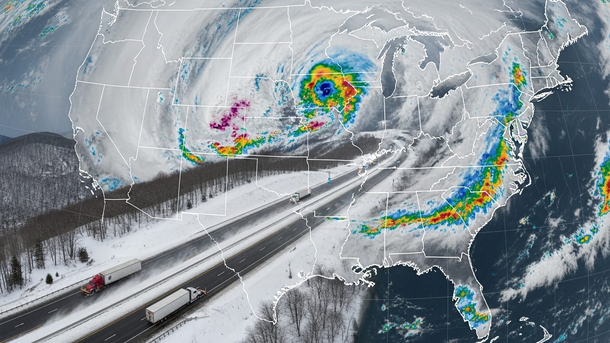
The Met Office issued thunderstorm warnings covering parts of eastern and central Scotland as the system moved north on Friday, warning of frequent lightning, hail and the risk of sudden flooding. Forecasts pointed to a clash between humid air lingering after recent warmth and a cooler, unstable mass moving in from the Atlantic, a combination that can trigger rapid thunderstorm development.
Across the UK, a similar pattern has caused widespread travel disruption in recent days, with hundreds of flights delayed or cancelled at major English hubs as storms tracked across southern England. While those impacts were centred further south, conditions over the Central Belt on Friday underlined how quickly Scottish infrastructure can come under strain when intense cells pass directly over major population centres.
Climate assessments for Edinburgh and the wider Lothians have warned that heavy downpours are expected to become more frequent and more intense over coming decades. Planners note that such events can overwhelm both urban drainage and rural river systems, amplifying the risk of floods that disrupt roads, railways and airport operations.
Experts in transport resilience argue that the latest storm will likely add to calls for further investment in surface water management, upgraded drainage near key junctions and improved real-time information systems to help travellers adapt when conditions change at short notice.
Passengers and Transport Networks Face Knock-On Effects
For many passengers, the immediate impact of the thunderstorms around Edinburgh has been uncertainty and longer travel days. Accounts circulating on social media describe holidaymakers missing connecting flights, business travellers arriving hours behind schedule and families being rebooked onto alternative services as airlines reshuffle operations.
Publicly available data from European air navigation authorities show that summer 2026 traffic levels are running ahead of last year, leaving smaller margins in schedules when severe weather strikes. Delays at a regional hub such as Edinburgh can therefore feed into wider congestion across interconnected networks, particularly for routes linking Scotland with mainland Europe.
On the ground, bus and tram services linking the airport to the city centre experienced crowding as passengers whose flights were delayed or diverted sought alternative routes, while drivers on flooded roads reported journey times significantly longer than usual for a Friday commute.
Travel analysts note that as climate volatility increases, both airlines and surface transport operators are likely to face more frequent episodes of disruption of this kind, underlining the importance of robust contingency planning, clear communication and flexible ticketing policies.
Infrastructure Resilience Under Renewed Scrutiny
The latest bout of storms has revived debate over how well Edinburgh’s critical infrastructure is prepared for more extreme weather. Existing planning documents already classify the airport as facing a moderate flood risk and acknowledge that some tram and road corridors have experienced waterlogging in previous heavy rainfall events.
Urban designers and engineers have advocated for a combination of hard engineering and nature-based solutions to manage future cloudbursts, including expanded stormwater storage, upgraded culverts and greater use of permeable surfaces. The scenes of waterlogged carriageways and delayed flights are likely to reinforce arguments that such measures are no longer optional but essential.
While Friday’s disruption gradually eased as the storm band moved north, forecasters cautioned that further showers and isolated thunderstorms remain possible as the unsettled pattern continues into the start of next week. For residents and visitors in and around Edinburgh, that means a continued watch on the radar, and for transport planners, another reminder that Scotland’s summer weather can turn quickly from benign to highly disruptive.