


Coastal Aperitivo Culture Washes Over New York’s East Village
New Italian and European-inspired bars are transforming New York’s East Village into a hub for coastal-style aperitivo, blending Old World rituals with downtown energy.

I am writing observational travel analysis focused on how travel works beyond the surface.
New Italian and European-inspired bars are transforming New York’s East Village into a hub for coastal-style aperitivo, blending Old World rituals with downtown energy.
Major self-drive routes in South Africa’s Kruger National Park are progressively reopening after the January 2026 floods, restoring access while some bridges and loops remain under repair.

Boston chef Tiffani Faison is closing two Fenway restaurants, reshaping a neighborhood dining scene she helped define while keeping key concepts elsewhere in the city.
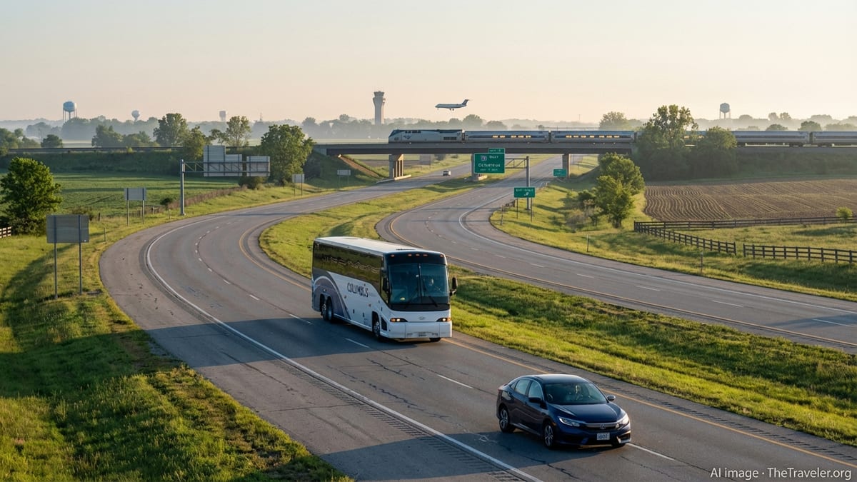
Chicago O’Hare has brought two refurbished gates back online in Terminal 3, marking a visible milestone in the broader ElevateT3 modernization program.
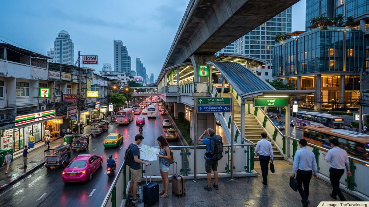
Surging arrivals, new flights and relaxed rules are turning Thailand into Europe’s favorite long‑haul escape as tourism momentum builds through 2026.
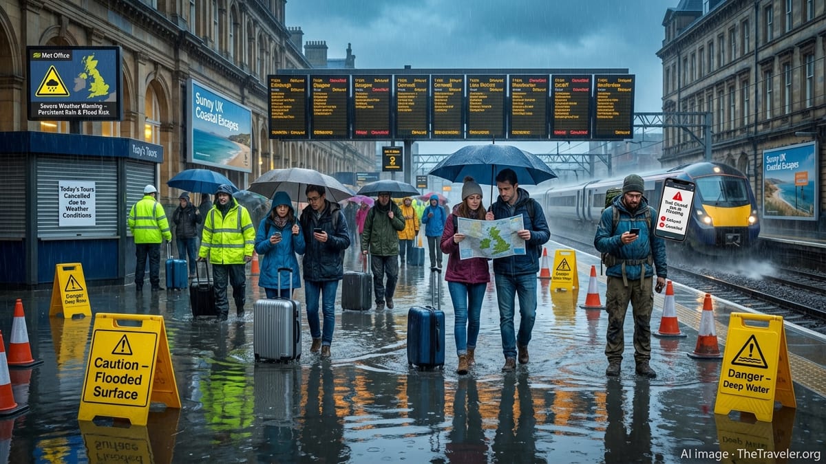
Extensive 2026 maintenance on roads and rail around Bräcke in Jämtland is reshaping summer travel plans for tourists driving E14 and riding the Mittbanan railway.
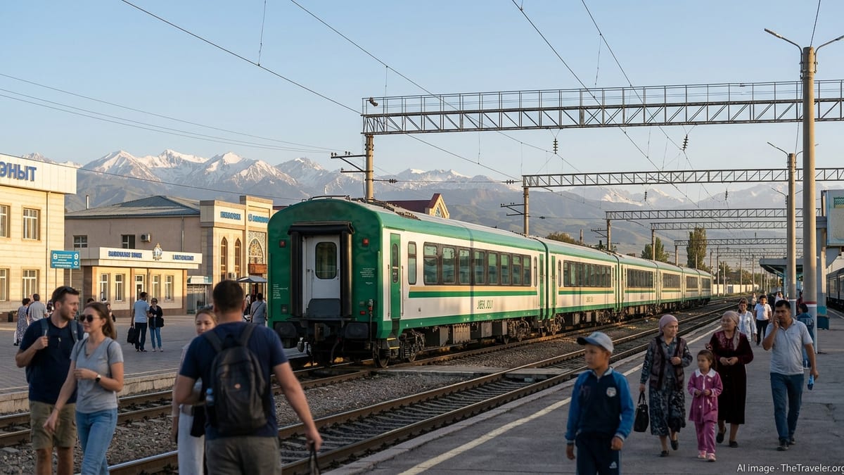
Uzbekistan accelerates tourism growth as Intrepid Travel concentrates new Silk Road and multi-country adventures around Tashkent as a regional gateway hub.
Typhoon Dolphin has disrupted flights across Japan and eastern China, hammering Okinawa, closing Shanghai airports and prompting large-scale coastal evacuations.
Across California, Nevada and neighboring states, updated routes, reopened byways and revived ghost towns are reshaping how travelers explore the American desert by car.

Sri Lanka is positioning remote Delft Island as a showcase for low carbon, conservation led tourism, aligning national sustainability goals with community based development.
Emirates has introduced a revamped ticket flexibility scheme for Dubai routes, trimming many refund fees to about US$25 and expanding options to change or hold bookings.

South Styria’s rolling wine hills, new cycling routes and e-bike services are turning the borderland with Slovenia into a discreet, soul-soothing escape for riders.
Vietnam has moved to clarify new border health declaration rules, easing fears of blanket requirements while signaling targeted checks in Ho Chi Minh City and other hubs.
A wave of visa-free and visa-light policies from Asia to Africa is redrawing global tourism routes, as governments compete to attract higher-spending visitors.

Italy is expanding slow travel routes with new walking, cycling and rail-based itineraries that promise calmer, greener holidays and spread tourism beyond traditional hotspots.