


Indonesia ferry fire in Lombok Strait sparks safety fears
A deadly ferry fire in the Lombok Strait has intensified scrutiny of Indonesia’s sea transport safety as rescuers continue searching for five missing passengers.

I am writing observational travel analysis focused on how travel works beyond the surface.
A deadly ferry fire in the Lombok Strait has intensified scrutiny of Indonesia’s sea transport safety as rescuers continue searching for five missing passengers.
Tourism data and new luxury openings show Thailand’s Koh Samui rapidly rising as Europe’s favorite dream island, blending barefoot luxury with tropical authenticity.
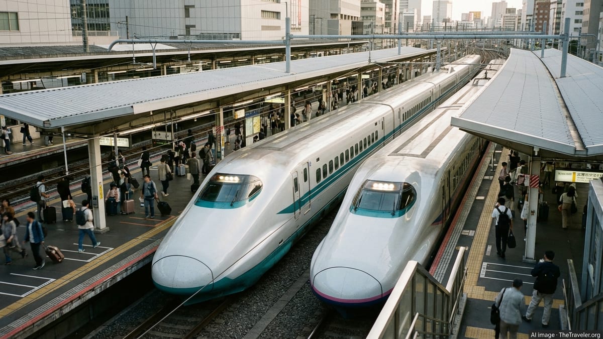
JR Kyushu is introducing a new train hotel at Miyazaki Station, adding an immersive rail stay option to Japan’s growing lineup of rail-inspired travel experiences.
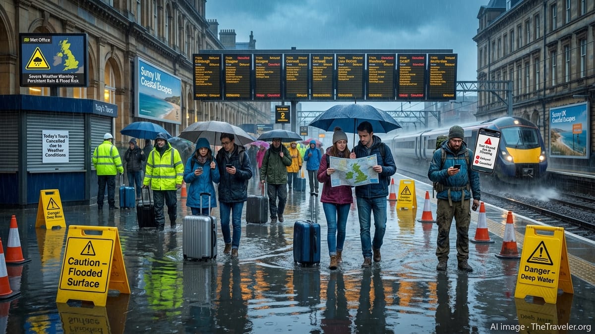
US travel officials issue new storm-season guidance as extreme weather triggers flight waivers, cruise itinerary shifts and mounting risks for coastal tourism businesses.

China is rapidly reinventing its vast rail network as a tourism engine, with themed, luxury and sightseeing services turning once-routine journeys into headline travel experiences.
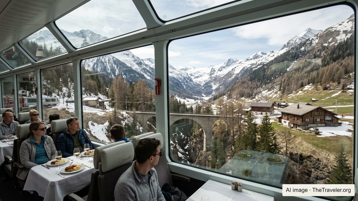
China’s latest themed tourist train turns Guizhou’s karst peaks and waterfalls into a vivid purple rail journey, adding color and convenience to southwest travel.
China is rapidly scaling up tourist trains and rail-linked packages as part of a national push to integrate railways with cultural tourism and immersive holidays.
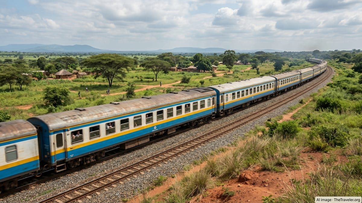
A new immigration ruling has upended long-standing expectations around advance parole travel, reviving three- and 10-year reentry bars for many immigrants with past unlawful presence.
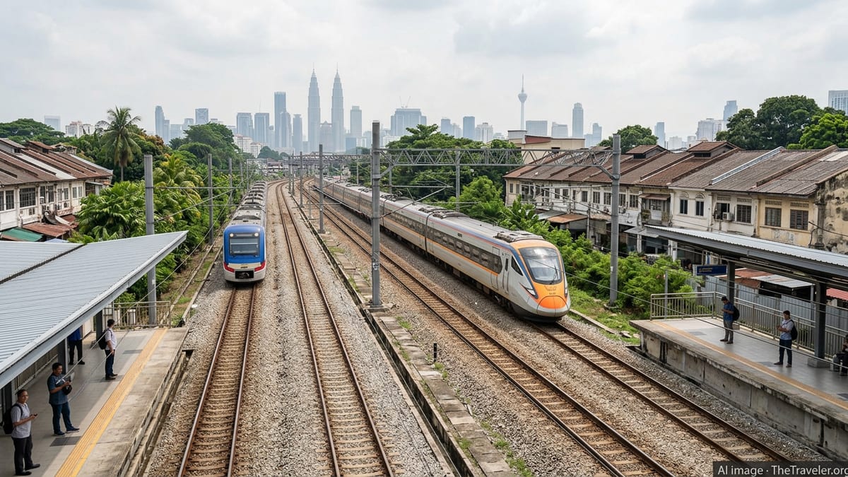
Malaysia’s 665 km East Coast Rail Link is nearing completion, with passenger services scheduled to begin in phases from January 2027, reshaping travel across the peninsula.
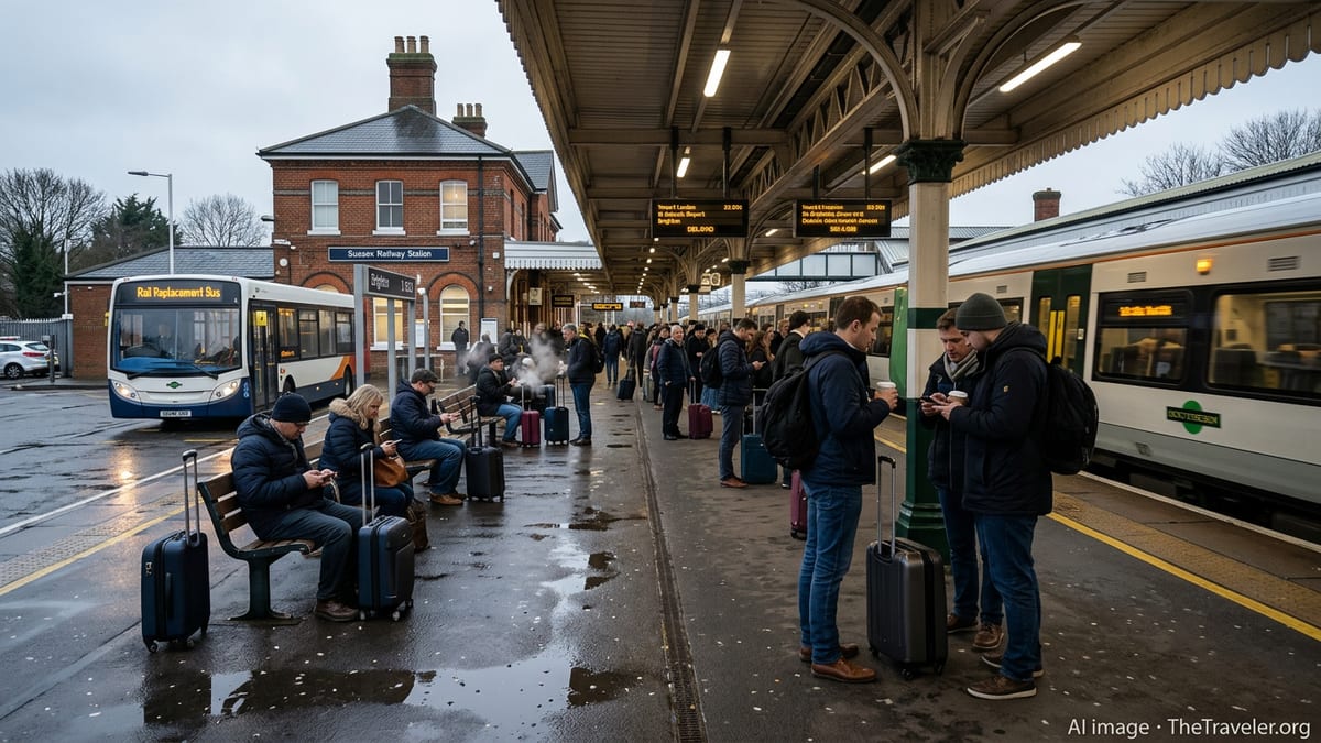
A Southern Rail service derailed near Lewes in East Sussex, injuring 11 people and disrupting key routes as emergency teams and investigators move into action.
Camiguin is ramping up dive-focused training and infrastructure as the Philippines targets high-value ocean travelers and rising demand for premium underwater experiences across Asia.
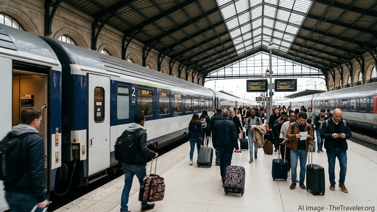
Progress on the Grésillons interchange station strengthens the Grand Paris Express, promising a powerful new gateway between western suburbs, central Paris and airports.
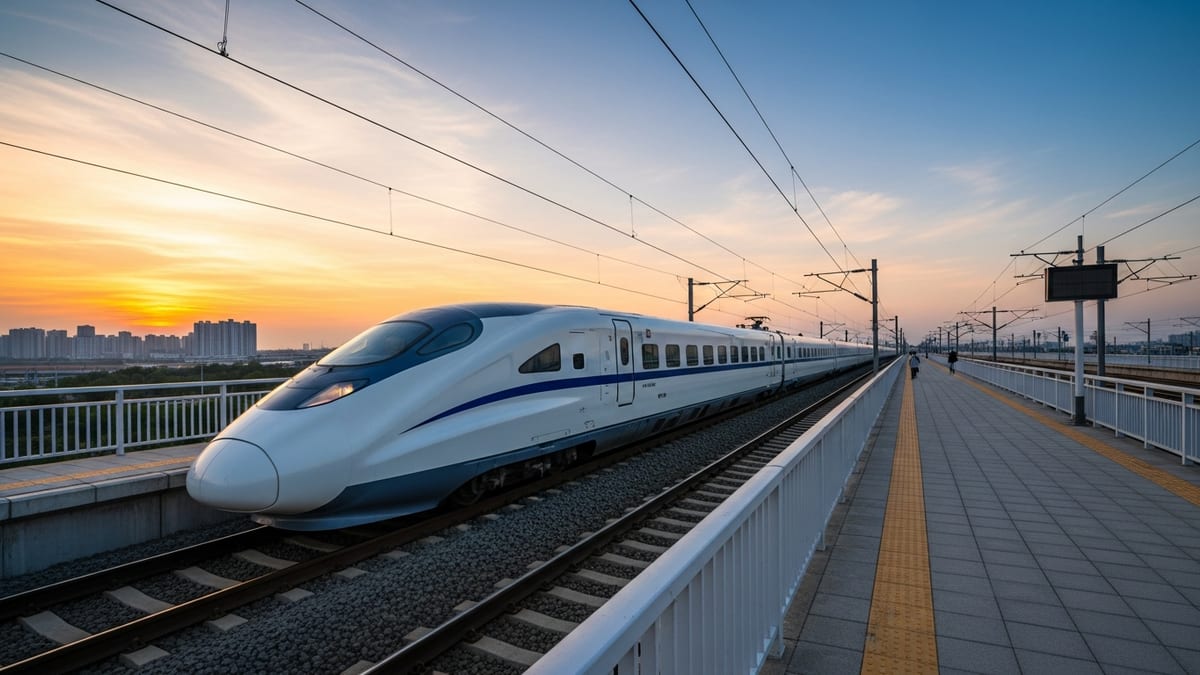
Shanghai’s Line 22 reaches full track connection and train testing, paving the way for the city’s first cross-Yangtze metro link to Chongming Island.
Arkansas leans into full fantasy this August as the Arkansas Renaissance Festival returns with live jousting, themed weekends, artisan markets and immersive family entertainment.
Hawaii activates emergency measures and travel waivers as Tropical Storm Lala strengthens in the Central Pacific and tracks toward the islands this weekend.