
More news on this day
From historic caravan routes to smartphone screens, Samarqand’s city map is undergoing a quiet transformation that is changing how travelers experience Uzbekistan’s most storied Silk Road destination.
Get the latest news straight to your inbox!
Heritage layers anchor the modern city map
Cartographic views of Samarqand increasingly start from its status as a UNESCO World Heritage site, with heritage-focused maps placing the old city at the center of the visitor experience. Publicly available documentation presents the historic core as a “crossroad of cultures,” structured around the Timurid-era monuments that define the skyline, including Registan Square, Bibi Khanym Mosque, Shah i Zinda necropolis and the Gur e Amir mausoleum. These references now function as fixed anchors on most modern city maps, whether printed, digital or embedded in guide apps.
Specialized heritage mapping projects emphasize the city’s layered structure, distinguishing the archaeological zone of ancient Afrosiab, the Timurid city and the later European-style quarter. These distinctions, originally developed for conservation and planning, have filtered into tourism-focused mapping tools that label districts and streets by historical period as well as by name. For visitors, it means contemporary city maps increasingly explain not only how to get from one site to another but also why one neighborhood feels markedly older or denser than the next.
The same heritage datasets feed into interactive platforms that allow users to toggle between monument outlines, traditional mahalla neighborhoods and wider urban context. While such tools were created primarily for researchers and planners, travel industry observers note that their structure is beginning to influence how guidebook publishers and independent cartographers design city plans for Samarqand, foregrounding intangible heritage, traditional housing patterns and community centers alongside the monumental architecture.
Parallel to these specialist platforms, mainstream map providers highlight Samarqand as a major urban center with a population of more than half a million residents. On widely used satellite and street maps, the city appears as a broad oval of development in the Zerafshan River valley, with the dense historic core surrounded by Soviet-era boulevards and new suburbs. For travelers, this macro view reinforces the practical reality that sightseeing is concentrated in a relatively compact area, but the city extends well beyond the postcard images.
Digital navigation tools gain ground with visitors
Over the past two to three years, city navigation in Samarqand has shifted decisively toward digital platforms, mirroring patterns in other Central Asian destinations. Mapping apps built on open-source data now provide offline city coverage, giving travelers street-level detail without roaming charges. Recent app releases promote turn-by-turn navigation and downloadable Samarqand basemaps, marketing themselves as practical tools for moving between monuments, markets and newer districts.
Travel commentary published in 2025 and 2026 indicates that visitors increasingly rely on a combination of global mapping services and dedicated city or Uzbekistan-wide apps to orient themselves. Reports describe walking from the Siyob bazaar to Registan, locating guesthouses in residential mahallas and plotting routes out to newer attractions such as the Silk Road Samarqand complex using offline maps saved ahead of arrival. This reliance on preloaded mapping data has become a standard recommendation in recent travel features aimed at first-time visitors.
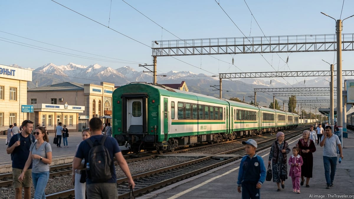
Digital platforms also make Samarqand’s fragmented transport network easier to understand. Public descriptions of the city note that it remains one of the few places in Uzbekistan where trolleybuses still run, alongside buses, taxis and ride-hailing services. On city maps, these modes are gradually being incorporated as route overlays or user-generated layers, allowing travelers to see where transit corridors intersect with major sites. Although official, unified transport mapping remains limited, user contributions are filling some of the gaps, particularly around bus stops and informal taxi stands.
Industry observers point out that digital mapping is also reshaping how accommodation is chosen. Map-based rental and booking platforms covering Uzbekistan present Samarqand neighborhoods visually, encouraging visitors to think in terms of walking distance to the historic core, bazaar or train station. This map-first approach contrasts with earlier reliance on hotel-provided paper maps and has produced a more granular understanding of the city’s layout among independent travelers.
Walking routes reframe the city at street level
Alongside static city plans and point-to-point navigation, curated walking routes have emerged as an important layer in Samarqand’s mapping ecosystem. Online platforms now publish themed city walks that connect old and new districts, sometimes overlaid directly on interactive maps. These routes typically thread together Registan, Gur e Amir and Shah i Zinda with Soviet-era avenues, residential courtyards and university zones, presenting the city as a continuous urban landscape rather than a collection of isolated monuments.
Recent route descriptions encourage travelers to move beyond the immediate heritage cluster and to explore streets lined with Russian colonial architecture or contemporary cafés. Mapping tools illustrate how a single day’s walk can trace several centuries of urban history, from the archaeological traces of Afrosiab through Timurid ensembles to twentieth-century planning grids. The visual depiction of these paths on city maps helps first-time visitors judge distances and elevation changes, which can be difficult to gauge from photographs alone.
Some platforms focus on time-of-day mapping, suggesting sunrise visits to Shah i Zinda or evening circuits along illuminated avenues, again plotted as colored lines on city basemaps. This style of mapping reflects a broader trend in urban tourism, in which route design is as important as the individual sights. In Samarqand, where heat and seasonal variation can be pronounced, the ability to read routes in relation to shade, parks and water features is becoming a notable consideration for visitors planning self-guided walks.
These evolving walking maps also highlight how commercial life is distributed across the city. Bazaar districts, small markets and newer retail promenades appear as clusters on the map, guiding travelers toward areas where services, food and transport are concentrated. As more travelers share data on where they walked and what they encountered, Samarqand’s street-level map is becoming denser and more nuanced, particularly in transitional zones between the old town and postwar additions.
New developments extend the mapped tourist zone
In the western part of the city, purpose-built tourism complexes are adding another dimension to Samarqand’s cartographic profile. The Silk Road Samarqand ensemble, which includes the so-called Eternal City, has been widely discussed in conference and event materials that reference interactive maps of the venue. For city planners and tourism operators, these new developments expand the functional tourist map beyond the traditional cluster of sites near Registan and Afrosiab.
On most contemporary city maps, the complex appears as a distinct node on the urban fringe, connected to the center by major roads and newly built infrastructure. Its inclusion on both official and user-generated maps signals a shift in visitor flows, with more travelers now plotting routes that combine historic monuments with modern entertainment, conference facilities and lakeside promenades. This has implications for how guide maps are drawn, parking is organized and shuttle services are planned.
Observers note that the proliferation of such large-scale projects raises questions about how Samarqand’s map is visually balanced. Heritage-focused cartography tends to compress distances around the old city, while newer promotional maps stretch the frame westward to accommodate the latest attractions. The result is a growing variety of map projections and scales, each emphasizing different aspects of the city. Travelers comparing paper hotel maps, official tourist diagrams and smartphone screens may notice that the apparent distance between the historic core and new districts varies considerably from one map to another.
Despite these differences, the common thread is the attempt to knit the older and newer parts of the city into a coherent picture. Wayfinding signage, shuttle routes and hotel diagrams increasingly depict Samarqand as a network of zones, with icons for heritage sites, modern leisure areas and transport hubs. This zonal mapping approach is intended to help visitors visualize the city as a series of connected experiences rather than a simple list of monuments spread across a large urban area.
Paper maps evolve but remain part of the experience
While digital tools dominate current discussion of Samarqand’s city map, traditional printed maps have not disappeared from the traveler’s toolkit. Tourist brochures, hotel desk plans and guidebook foldouts still provide simplified diagrams of the historic center, often focusing on a walkable rectangle that stretches from the railway station area toward Registan, Bibi Khanym and Shah i Zinda. These maps typically highlight key landmarks with sketches or icons and omit much of the surrounding residential fabric.
Recent travel accounts suggest that visitors often use paper maps as an at-a-glance planning aid, then turn to phones for precise navigation. The enduring appeal lies partly in the ability to see the city in a single view without zooming or scrolling, a perspective that can be especially helpful for understanding how monuments line up along the main axes. In some cases, printed maps adopt color schemes and symbology similar to online platforms, reflecting a convergence of design language across media.
For local businesses in the hospitality sector, printed city plans remain a practical marketing tool. Guesthouses and tour operators continue to distribute maps that mark their own locations, recommended restaurants and service points, using the familiar silhouettes of domes and minarets to orient newcomers. These schematic maps rarely match the precision of digital basemaps, but they contribute to a broader ecosystem of wayfinding that mixes formal cartography with informal annotation.
Analysts of urban tourism note that the interplay between paper and digital mapping in Samarqand mirrors shifts seen in other heritage cities. Travelers arrive with preloaded apps and satellite imagery, acquire local paper maps at check in, and gradually build their own mental maps through repeated journeys between squares, markets and newer districts. In this process, the city map of Samarqand is less a single document than a layered set of representations, each adding context to the others as visitors trace their own paths through the historic crossroads of Central Asia.