


More news on this day
Firefighters from the Bedford Fire Department provided critical assistance along the Narrow Gauge Rail Trail after an incident on the popular multiuse corridor, drawing renewed attention to emergency access and public safety on rail-trail networks.
Get the latest news straight to your inbox!
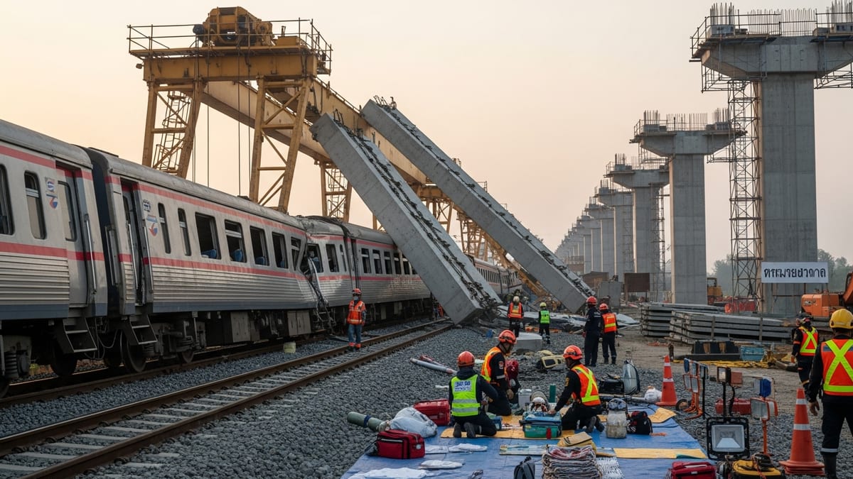
Multi-Agency Response on a Popular Community Trail
According to published coverage and municipal updates, Bedford fire crews were dispatched to the Narrow Gauge Rail Trail after reports of an incident along the wooded corridor. The call brought firefighters and support vehicles onto a route better known for walkers, cyclists, and dog owners than emergency apparatus.
Reports indicate that the department’s involvement formed part of a broader, multi-agency response. Police, public works personnel, and regional partners were engaged to secure access points, direct trail users away from the affected area, and ensure that emergency vehicles could move safely along nearby residential streets.
Publicly available information shows that the incident was contained within a limited section of the trail and did not result in long-term closure of the entire route. However, temporary restrictions were put in place while responders assessed conditions and confirmed that no additional hazards were present along the corridor.
The trail, which follows a historic rail bed and connects neighborhoods, conservation land, and nearby towns, functions as both a recreational amenity and an informal transportation link. The presence of fire apparatus and personnel along the tree-lined route illustrated how quickly the space can shift from a quiet greenway to an active emergency operations zone.
Challenges of Emergency Access on Rail-Trail Corridors
The response along the Narrow Gauge Rail Trail underscored the logistical challenges that fire departments face when incidents occur on narrow, non-motorized corridors. Many rail trails are designed with minimal pavement width, soft shoulders, and restricted vehicle access, features that enhance the user experience but complicate the movement of emergency vehicles.
Trailheads, bollards, and gates can slow the arrival of fire engines and ambulances, requiring careful pre-planning and coordination with local public works departments. In Bedford, publicly available planning documents highlight ongoing efforts to map access points and identify locations where smaller, more maneuverable vehicles or off-road units may be better suited for trail-based calls.
Reports indicate that responders at the incident worked within these constraints, using existing access openings and coordinating movements to avoid damage to the trail surface and surrounding vegetation. The response served as a practical test of route-finding and staging procedures that are usually developed on paper or in tabletop exercises.
For local emergency services, each call along a rail-trail corridor becomes an informal drill in navigating tight clearances, limited turning radii, and potential conflicts with pedestrians and cyclists. These lessons often inform future updates to response plans, equipment choices, and interagency communication protocols.
Community Safety, Recreation, and Seasonal Risk
The Narrow Gauge Rail Trail is heavily used in fair weather, and officials across New England have noted that seasonal changes can heighten risks on popular routes. In dry, warm conditions, brush along the edges of former rail beds can become susceptible to ignition, while winter brings ice, reduced visibility, and slower access for emergency vehicles.
Public reports on similar rail-trail incidents in the region have pointed to a combination of natural and human‑caused hazards, including small brush fires, medical emergencies among trail users, and minor cycling crashes. While the Bedford incident remained limited in scope, the visible presence of the fire department along the route has prompted renewed discussion of user preparedness and awareness.
Trail managers and municipalities typically encourage visitors to carry basic identification, know their approximate location along the corridor, and be prepared to describe nearby cross streets or mile markers when calling for help. On a linear route that crosses multiple neighborhoods and conservation parcels, accurate location information can significantly reduce response times.
Community outreach in Bedford often emphasizes that recreational amenities like the Narrow Gauge Rail Trail are shared spaces where individual choices can have system-wide effects. Responsible use, adherence to local regulations, and attention to seasonal advisories all contribute to keeping calls for fire and rescue services manageable in scope.
Planning for Future Incidents Along the Narrow Gauge Rail Trail
The recent assistance by the Bedford Fire Department is prompting additional planning discussions about how best to prepare for future incidents along the Narrow Gauge Rail Trail. Publicly available meeting notes and trail planning documents indicate that local officials and volunteer committees have been considering upgrades that would enhance both recreation and resiliency.
Potential measures under review in similar communities include clearer emergency access signage at trailheads, improved mapping of locator points, and expanded coordination with regional dispatch centers so that callers on the trail can be quickly pinpointed. Some jurisdictions have also looked at modest infrastructure changes, such as adjustable gates that can be opened for emergency vehicles but remain closed to general traffic.
In Bedford, the trail’s role as a connector between multiple towns adds a cross-jurisdictional layer to emergency planning. Mutual aid agreements, shared training exercises, and common mapping standards can help ensure that crews from neighboring departments are familiar with the route when they are called in to assist.
Observers note that each new response along the Narrow Gauge Rail Trail provides another data point for refining these plans. Over time, these incremental adjustments may lead to a more formalized system of wayfinding markers, access routes, and user education campaigns tailored specifically to the realities of emergency operations on rail-trail corridors.
Balancing Preservation of a Historic Corridor With Modern Safety Needs
The Narrow Gauge Rail Trail is rooted in the area’s transportation history, tracing the path of a former railroad that once moved freight and passengers through the region. As the corridor has transitioned into a recreational greenway, local planners have worked to preserve its historic character while adapting it for contemporary use.
Episodes that require fire department assistance highlight the tension between preserving a narrow, wooded right‑of‑way and ensuring reliable access for modern emergency equipment. Stakeholders often weigh the visual and ecological impact of widening entrances or clearing additional vegetation against the potential benefits of faster, safer responses.
Publicly accessible planning materials show that communities along former rail lines are increasingly integrating emergency response criteria into trail design standards. Sightlines around curves, surface materials that can withstand occasional vehicle loads, and strategically placed pull‑outs for maintenance and emergency use are all areas receiving fresh attention.
The Bedford Fire Department’s recent role along the Narrow Gauge Rail Trail has brought these considerations into sharper focus. As more residents adopt the corridor for daily exercise and car‑free travel, the expectations for reliable, well-coordinated emergency coverage are likely to grow, reinforcing the importance of aligning trail preservation goals with practical safety needs.