
More news on this day
Growing concern over apparent clusters of powerful earthquakes across the Pacific is prompting Japan, the United States, Chile, Indonesia, Peru and Mexico to recalibrate how they talk about risk, manage flight routes and plan for a future in which tourism increasingly overlaps with the planet’s most active seismic belts.
Get the latest news straight to your inbox!
From Ring of Fire Reality to “Planetary Convergence” Rhetoric
Publicly available information from recent seismic episodes in Japan, Venezuela, California and the wider Pacific Rim has produced a surge in media and social media references to a supposed “planetary convergence” of tectonic risk. These discussions frequently highlight the same countries that sit along the Pacific Ring of Fire, including Japan, the United States, Chile, Indonesia, Peru and Mexico, where a large share of global earthquakes and tsunamis historically occur.
Scientific bodies in these nations continue to emphasize the long-established role of plate boundaries and subduction zones in concentrating seismic energy, rather than any sudden new planetary alignment. Research from universities in Japan and agencies such as the United States Geological Survey points to subduction systems off Japan, Alaska, the U.S. West Coast, Chile and Indonesia as persistent generators of large earthquakes and associated tsunamis, not the result of short-term cosmic cycles.
Despite this, the idea of convergence has gained traction as a shorthand for how multiple high-profile events can unfold within days or weeks across different continents. For travelers and tourism planners, the phrase reflects a psychological convergence more than a geophysical one, compressing dispersed risks into what appears to be a single, global shock.
Aligned Narratives Across Japan, the U.S. and Latin America
Recent coverage indicates that authorities and scientific communities in Japan, the United States, Chile, Indonesia, Peru and Mexico are increasingly aligned in their messaging about seismic risk to travelers. The emerging narrative stresses that large events along the Ring of Fire are expected outcomes of plate tectonics, while also underscoring the need for preparedness in aviation, coastal tourism and urban destinations.
Japan’s long-running investment in earthquake and tsunami monitoring has become a reference point, with early warning systems and public drills framed as a model for other seismic nations that also rely heavily on tourism. In Mexico and Chile, where major coastal cities double as key tourism gateways, seismic risk communication is being woven more tightly into visitor guidance, from airport announcements to hotel safety materials.
In the United States, the West Coast’s participation in the same tectonic belt that links to Japan, Alaska, Mexico and down the spine of South America is increasingly highlighted in educational outreach. Indonesia and Peru, both heavily dependent on international arrivals for certain regions, are similarly seeking to balance promotion of natural attractions with clear, science-based messaging about earthquakes, volcanoes and tsunamis.
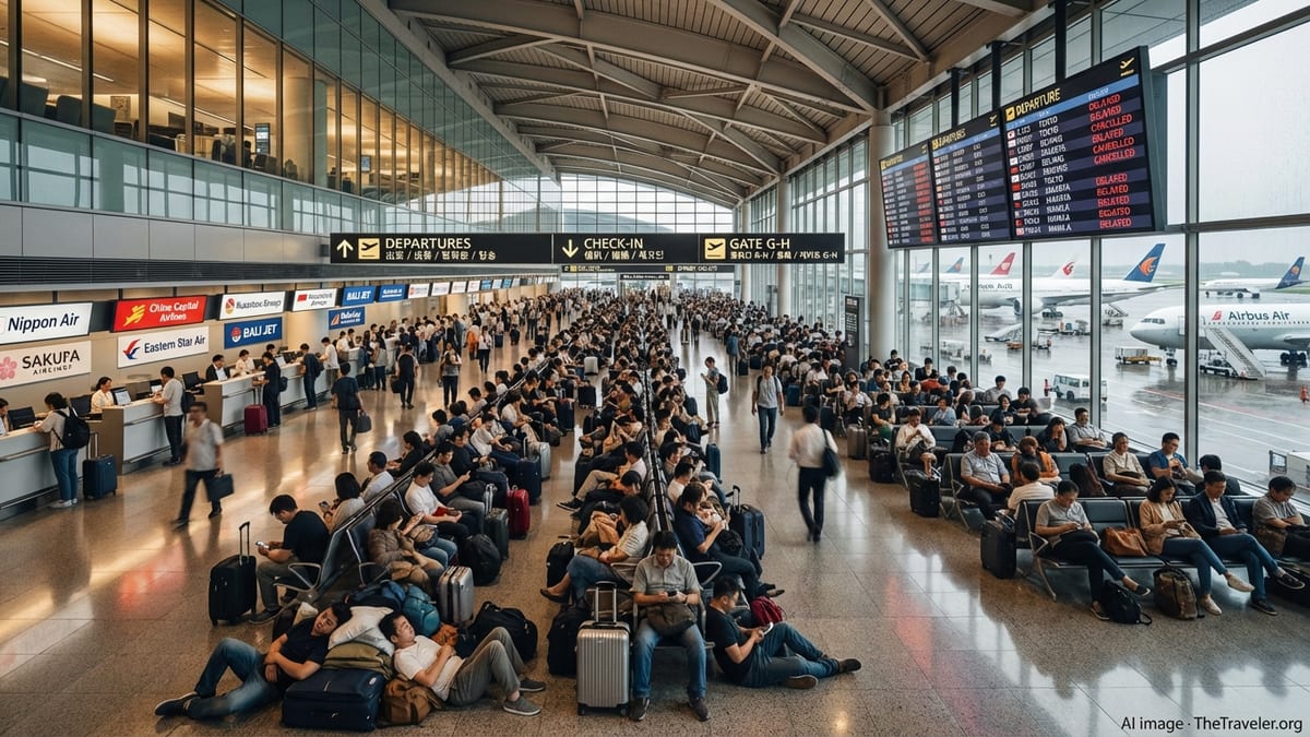
Flight Routes, Aviation Hubs and High-Altitude Risk Perception
So far, available aviation safety data does not suggest a direct operational threat to commercial aircraft from the recent clusters of earthquakes. Modern jets generally cruise well above the atmospheric disturbances associated with ground shaking, and airlines already adjust routes dynamically for volcanic ash, severe weather and airspace restrictions, often without passengers being fully aware of the changes.
The perceived link between seismic belts and flight routes arises because many long-haul corridors connect major hubs that sit close to tectonic boundaries. Transpacific services between Japan and the United States, north–south connections along the Americas and regional flights threading Indonesia, Chile and Mexico all intersect regions where earthquakes and volcanic eruptions are relatively common.
Published aviation and tourism coverage indicates that carriers and airports are focusing on contingency planning rather than wholesale route redesign. Emphasis is being placed on rapid runway inspections after strong shaking, redundancy in navigation aids, and closer coordination with volcano observatories where ash could threaten jet engines. For passengers, the impact is more likely to be felt as occasional delays, diversions or last-minute aircraft swaps than as visible changes to the global route map.
Earthquake Belts and the Emerging Geography of Tourism
The notion of “future geography of tourism” is gaining currency as destinations across the Pacific Rim confront how seismic risk overlaps with their core visitor experiences. Coastal resorts in Chile and Mexico, heritage sites near active faults in Peru and Indonesia, and dense urban neighborhoods in Japan and the U.S. West Coast all sit in zones where tectonic hazards and tourism are tightly interwoven.
Travel industry analysis suggests that the response is moving away from treating earthquakes as rare, stand-alone crises and toward incorporating them into broader climate and natural hazard planning. This includes reviewing zoning rules for new hotels in tsunami-prone areas, reinforcing older buildings used as guesthouses, and updating evacuation maps that explicitly consider tourist foot traffic and language barriers.
At the same time, the same seismic forces that generate risk often help create the landscapes that attract visitors: volcanic peaks in Indonesia, hot spring regions in Japan, dramatic coastal cliffs in Peru and Chile, and canyon systems in the western United States and Mexico. Tourism planners in these countries are therefore experimenting with ways to promote geotourism and educational travel that can increase visitor awareness without undermining demand.
Implications for Travelers Navigating a Shifting Risk Map
For travelers, the alignment of Japan, the United States, Chile, Indonesia, Peru and Mexico around a shared, science-first narrative of seismic risk may gradually change how trip planning is approached. Rather than avoiding entire countries after headline-making earthquakes, visitors are being nudged toward assessing specific regions, seasons and activities, along with the robustness of local preparedness measures.
Experts writing in travel and hazard publications increasingly recommend that visitors focus on practical steps: understanding basic earthquake and tsunami procedures, choosing accommodation in structures that meet modern building standards, and paying attention to local alerts and signage at coastal or mountainous sites. Travel insurance policies are also being scrutinized more closely for their coverage of natural hazard disruptions.
As climate change adds further complexity through sea level rise, coastal erosion and shifting storm tracks, the Pacific Rim’s seismic story is likely to be read alongside a broader catalog of environmental pressures. The current “planetary convergence” debate, even if scientifically imprecise, is drawing attention to how interconnected these risks and responses have become, and how profoundly they may shape the maps by which future travelers navigate the Pacific world.