
More news on this day
Instead of easing into a reliably warm May, Boston and a swath of major eastern United States cities are contending with an entrenched pattern of cool, unsettled weather that is extending the feel of late winter and early spring well into the traditional start of the summer travel season.
Get the latest news straight to your inbox!
Stubborn Spring Pattern Keeps Cities Damp and Cool
Forecasts for the second week of May indicate that Boston will remain under mostly cloudy skies with repeated rounds of showers and below seasonal temperatures, with daytime highs frequently stuck near the low 60s Fahrenheit. Similar conditions are projected for Detroit, Buffalo, New York City, Philadelphia, Washington and Chicago as a broad trough in the jet stream steers storm systems across the eastern half of the country rather than allowing a sustained warm-up.
Publicly available outlooks from national and private forecasters describe a pattern favoring cooler than average conditions for much of the Midwest, Great Lakes and Northeast through at least mid May. Meteorologists highlight a persistent stream of disturbances moving along a dominant storm track, keeping soil surfaces damp, humidity elevated and sunshine limited on many days. For travelers and residents, the result is a prolonged stretch that feels more like an extension of early spring than the approach of summer.
Climatological assessments issued in recent weeks point to a notable contrast between the eastern and western United States, with warmth building in the West while the East holds onto chillier air masses. The alignment of upper level features is helping to lock the pattern in place, slowing the usual seasonal transition toward more stable, warmer weather in the heavily populated Interstate 95 corridor and major Great Lakes hubs.
Frost Risk Lingers On the Fringes of Major Metro Areas
While city centers such as Boston, New York and Philadelphia are unlikely to experience hard freezes at this stage of May, the persistent cool regime keeps patchy frost in play for interior New England, upstate New York, northern Pennsylvania and parts of the Upper Midwest. Nighttime lows in outlying suburbs and rural valleys can still dip into the 30s Fahrenheit under brief clear breaks between systems, particularly where lingering snowpack or very moist soils are present.
Recent regional hydrologic and spring flood outlooks from federal agencies note that saturated ground and cool air can delay soil warmup and plant growth, leaving sensitive crops and backyard gardens more vulnerable to marginal frost events. Agricultural bulletins and viticulture reports from the eastern United States have already documented frost episodes in recent weeks, underscoring how quickly temperatures can swing when cold pockets of air drain into low lying terrain overnight.
For travelers driving overnight between major cities and secondary destinations in New England or the Great Lakes, these localized cold spots present a subtle but real hazard. Bridges and elevated roadways can briefly cool faster than surrounding surfaces, especially following rain, increasing the chance of slick patches at higher elevations even when metropolitan forecasts advertise temperatures safely above freezing.
Thunderstorms and Flooding Threats Ride the Same Storm Track
The same jet stream configuration that is suppressing sustained warmth is also focusing repeated rain and thunderstorm episodes along a broad corridor from the Midwest into the Mid Atlantic and Northeast. National forecast discussions highlight a parade of frontal systems capable of generating bands of heavy rain, embedded thunderstorms and localized downpours that may train over the same areas for several hours.
Hydrologic assessments for spring 2026 cite an elevated flood signal in parts of the Great Lakes and Ohio Valley, reflecting a combination of recent wetness and incoming storm potential. With soils already moist and rivers running near seasonal levels in many basins, additional bursts of one to two inches of rain in a short period can quickly lead to ponding on roads, overwhelmed storm drains and fast responding small stream rises in urban and suburban corridors.
In cities such as Chicago, Detroit, Buffalo and Pittsburgh, this translates into an ongoing risk of nuisance to moderate flooding during heavier events, particularly in low lying neighborhoods and along major commuting routes. Along the Atlantic seaboard, New York City, Philadelphia, Baltimore, Washington and Boston may contend with localized flash flooding during stronger thunderstorm clusters, especially where concrete and asphalt limit natural drainage.
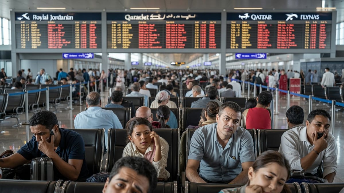
Air, Rail and Road Travel Delays Mount as Summer Plans Begin
For travelers, the cool and unsettled pattern is already being felt in the form of transportation disruptions. Thunderstorms developing along frontal boundaries can trigger ground stops and flow control measures at busy hubs such as Boston Logan, New York’s major airports, Philadelphia International, Washington’s airports and Chicago’s O’Hare and Midway. Low cloud ceilings, gusty crosswinds and reduced visibility from steady rain further complicate arrival and departure schedules.
Rail services in the Northeast Corridor and across the Great Lakes region may also be affected when heavy rain leads to track washouts, signal issues or localized power interruptions. Even when infrastructure remains intact, slower operating speeds through storm affected segments and congestion around large metropolitan terminals can cascade into delays for long distance and regional services at a time when leisure travel typically starts ramping up.
On highways, the most immediate concern is often hydroplaning and reduced stopping distances as water pools in ruts and low spots. Transportation agencies routinely emphasize that the first minutes of rainfall after a dry break can be especially hazardous as oil residues lift to the surface. Persistent wet conditions can also deteriorate pavement more quickly, producing new potholes that surprise drivers on major commuter arteries around Boston, New York, Philadelphia, Detroit and Chicago.
Climate Context and What Travelers Should Expect Next
Seasonal outlooks from the Climate Prediction Center point toward above normal temperatures for much of the upcoming summer across the United States, but they also acknowledge that individual months such as May can buck the long term trend at the regional scale. Private sector outlooks for May 2026 suggest the Midwest and Northeast could experience one of their chillier Mays of the past decade and a half, even as the broader climate signal remains tilted toward warming.
Recent climate briefings describe an atmosphere transitioning toward El Niño conditions, a shift that can alter typical storm tracks and precipitation patterns. For the moment, however, shorter term dynamics in the jet stream and lingering cool air masses over Canada are exerting more immediate influence on weather experienced by travelers in Boston and other eastern cities.
Looking ahead through the middle of the month, forecast guidance generally keeps the eastern half of the country under the influence of frequent disturbances, suggesting only brief windows of sunnier, milder weather between systems. Travelers planning trips to Boston, New York, Philadelphia, Washington, Chicago, Detroit and Buffalo in the coming days are likely to encounter a mix of low clouds, scattered showers and occasional heavier storms, rather than the consistently warm, dry conditions often associated with late spring and early summer.