


More news on this day
Saturday evening weather across the United States is set to deliver a mix of strong thunderstorms, lingering heat and humidity, and pockets of calmer, cooler air as regional patterns continue to shift in mid-July.
Get the latest news straight to your inbox!
Storm Risk Intensifies Over Central Plains and Midwest
Forecast guidance for Saturday evening indicates that the most unsettled conditions will be concentrated across portions of the central Plains and Midwest, where a combination of warm, moist air and an approaching disturbance is expected to fuel thunderstorms. Publicly available outlooks highlight a corridor where storms may organize and track eastward during the evening and into the night.
Thunderstorms in this zone may produce locally heavy rainfall, gusty winds and frequent lightning, leading to brief travel disruptions on interstates and at some regional airports. Motorists are advised by forecast products to be prepared for quickly changing visibility in heavy downpours and ponding on roads, especially around low-lying areas and highway on- and off-ramps.
While the exact placement of the strongest cells is expected to evolve through the evening, the broader signal points to scattered clusters rather than a single large complex. Travelers crossing state lines by car or rail should monitor local radar-based forecasts, which are expected to refine the timing of storms along major routes through the evening hours.
Overnight, storms are expected to gradually weaken as they push farther east and encounter slightly cooler and more stable air. Even as intensity diminishes, remnant showers may persist into the early hours of Sunday in parts of the Midwest, keeping some roads damp for overnight and early morning travel.
Southern Heat and Humidity Linger Into the Night
Across the South, Saturday evening conditions are forecast to remain warm and humid long after sunset. Temperature readings in many Gulf Coast and lower Mississippi Valley communities are expected to stay elevated through late evening, with heat index values still feeling several degrees warmer than the air temperature due to high moisture levels.
For travelers exploring city centers, waterfront districts or outdoor events, the combination of lingering warmth and humidity may lead to slower cooling than many visitors anticipate. Public forecasts suggest that even by late evening, some locations will remain in the upper 70s to low 80s Fahrenheit, with only a gradual drop overnight.
Localized pop-up showers or thunderstorms are possible in parts of the Southeast, particularly where daytime heating and sea-breeze boundaries have been active. These storms, while short-lived, may cause brief interruptions to outdoor plans, including concerts, sporting events and open-air dining. Lightning remains a risk in any thunderstorm, and event organizers often rely on real-time weather information to make adjustments.
Overnight, conditions in the South are expected to stay muggy, which may influence comfort levels for travelers in accommodations without strong air conditioning. Those planning early departures on Sunday morning can anticipate warm and humid starts to the day across much of the region.
More Comfortable Air Filters Into Parts of the Northeast
Farther north, parts of the Northeast are forecast to experience comparatively more comfortable conditions on Saturday evening as slightly cooler and drier air filters in behind an earlier weather system. Temperatures are projected to settle into the 60s and low 70s Fahrenheit for many inland locations, with somewhat higher values in larger urban corridors.
Publicly available forecasts indicate that humidity levels will be lower than in recent days for some interior areas, offering a more pleasant backdrop for evening walks, outdoor dining and stadium events. Coastal sections may still feel somewhat humid, but the overall trend is toward milder conditions as the evening progresses.
Cloud cover is expected to vary, with some regions seeing partly cloudy skies and others holding onto patches of low clouds from the daytime. The risk of widespread thunderstorms appears limited for many northeastern hubs during the evening window, supporting smoother operations for regional and long-haul flights compared with more active parts of the country.
Overnight lows are forecast to trend cooler across higher elevations and rural valleys, which may be noticeable for campers and those staying in mountain lodges. Travelers heading out early on Sunday can expect relatively fresh conditions, especially away from the larger cities.
Western States See a Mix of Dry Heat and Local Storms
Across the western United States, Saturday evening weather is expected to vary sharply by region, reflecting the complex terrain and summertime patterns. Desert locations in the Southwest are forecast to stay hot well into the night, with temperatures remaining elevated for several hours after sunset and only slowly easing toward early morning.
At the same time, monsoon-related moisture is expected to contribute to scattered thunderstorms in some interior sections of the Southwest and central Rockies. These storms can form quickly along mountain ranges and plateaus, bringing bursts of heavy rain, gusty winds and lightning to otherwise dry areas. Short-lived downpours may lead to localized flooding in normally dry washes and small canyons.
Farther north along portions of the Pacific Northwest and northern Rockies, publicly available guidance points to relatively mild evening conditions with a mix of clouds and clear breaks. Coastal areas are likely to see cooler temperatures with marine air in place, while inland valleys remain warmer but generally dry.
Wildfire concerns remain a seasonal consideration in portions of the West, where dry grasses and vegetation can respond quickly to any lightning strikes. Travelers planning evening drives through forested or remote stretches are encouraged by fire-weather outlooks to stay aware of any new restrictions or smoke-related visibility issues that may arise.
Travel and Outdoor Plans: What to Watch for Saturday Night
For travelers and residents planning Saturday evening activities, the most significant weather-related considerations are expected to be thunderstorms in the central Plains and Midwest, pockets of heavy rain and lightning in parts of the South and interior West, and lingering heat in southern and desert locations. These factors may influence everything from highway driving conditions to outdoor festivals and late flights.
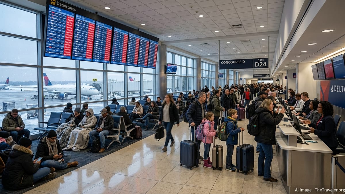
Reports from major travel hubs suggest that air travel impacts are most likely where storms intersect with busy flight corridors, particularly across central regions of the country. While widespread disruptions are not guaranteed, localized delays are possible as airlines adjust to storm tracks and temporary ground stops around the heaviest cells.
Those attending outdoor concerts, sporting events or dining al fresco may find relatively pleasant conditions in parts of the Northeast and Pacific Northwest, where more moderate temperatures and lower storm chances are forecast. Even in these areas, evening temperatures can vary significantly between coastal zones, urban centers and higher terrain, so layered clothing remains useful.
As the night progresses, many regions will see conditions gradually calm and temperatures ease, but pockets of unsettled weather are likely to persist into the early hours of Sunday. Travelers crossing multiple regions by car, rail or air may benefit from monitoring regional forecasts through the evening, as shifting storm clusters and changing temperature gradients can subtly reshape local conditions along their routes.