


More news on this day
Journeys across Dorset faced slower-than-usual start-of-week conditions after a Met Office yellow fog warning reduced visibility on key routes and prompted caution for drivers and public transport users on Sunday morning.
Get the latest news straight to your inbox!
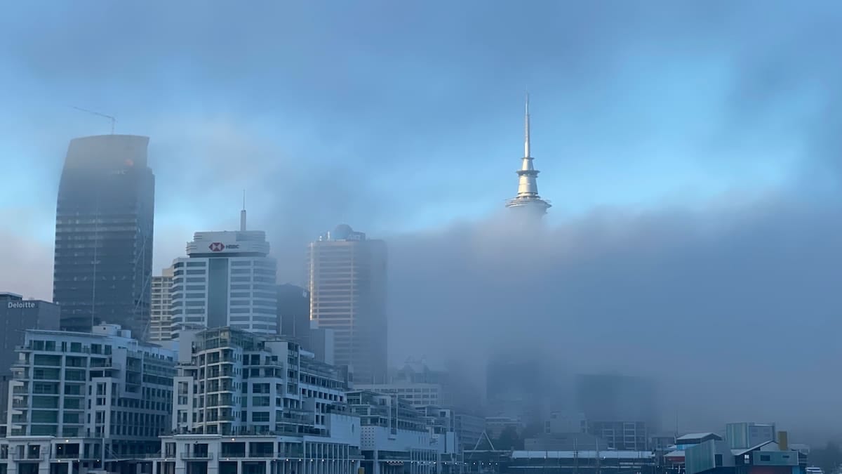
Warning blankets Dorset as visibility drops
The yellow fog warning in force on Sunday 1 November covered much of Dorset, including Bournemouth, Christchurch, Poole and inland towns such as Wimborne and Shaftesbury. The alert, which was in place until 10:00, formed part of a wider warning area that stretched across large parts of England and Wales, including the South West region.
Reports indicate that visibility fell sharply in places, with dense patches forming under clear overnight skies and light winds. Forecasts highlighted the potential for visibility to fall below 100 metres on some stretches of road, making early-morning driving particularly challenging for commuters and those heading to coastal resorts or market towns.
According to publicly available information from the Met Office and regional media coverage, the warning period passed without major incidents being reported, but many routes experienced slower traffic and more cautious driving behaviour. Road signs and matrix boards on busier arteries around Bournemouth and Poole highlighted the foggy conditions as drivers reduced speed.
Weather data for Dorset on 1 November show that conditions began to improve by late morning as the fog gradually lifted into low cloud, especially along the coast. Inland valleys and higher ground remained more prone to lingering patches as cooler air stayed trapped near the surface.
Travel disruption and slower journeys for visitors
Travel updates on Sunday morning pointed to longer journey times on key A-roads and approaches to Dorset’s main towns. Published summaries of the Met Office warning highlighted the risk of delays to bus and train services, as well as the possibility of knock-on effects at regional airports where low visibility can affect flight operations.
In practice, publicly available travel information suggests that most scheduled trains through Dorset continued to run, although with some speed restrictions through the thickest fog. Bus operators advised passengers to allow additional time, particularly on rural routes where unlit roads and hedgerows can make fog appear even denser.
For travellers driving into Dorset from neighbouring counties, the yellow warning served as a prompt to plan ahead. Guidance associated with the alert recommended checking road conditions before setting out, allowing extra time and ensuring fog lights were in full working order. For those unfamiliar with the area’s winding B-roads and coastal approaches, slower speeds and greater spacing between vehicles were especially important.
Coastal visitors heading toward destinations such as Bournemouth seafront and the Isle of Purbeck also encountered reduced visibility during the early hours. While the fog gradually thinned near the shoreline, those continuing inland toward attractions such as the Dorset countryside and market towns often found thicker patches persisting in sheltered low-lying areas.
Why conditions turned foggy after recent storms
The foggy start to November followed a notably unsettled spell that included strong winds and named storms affecting parts of the UK. In the days leading up to Sunday’s warning, a shift in the broader weather pattern allowed high pressure to build over southern Britain, including Dorset, creating calmer but more moisture-laden conditions at ground level.
Analysis published by the Met Office in late October indicated that the jet stream has recently allowed a ridge of high pressure to settle across much of the country. This pattern tends to suppress strong winds and heavy rain, but it also encourages overnight cooling under clear skies. When combined with residual moisture from earlier rain, those ingredients are ideal for mist and fog to develop, particularly in central and southern England.
Forecasts issued over the weekend suggested that this quieter pattern is likely to persist into the first part of November, keeping the risk of further early-morning fog episodes elevated. Dorset’s mixed terrain of coastline, river valleys and gentle hills often makes the county a frequent focus for such warnings, as cool air pools in low-lying areas while slightly warmer air sits just above.
Publicly available long-range outlooks point to largely dry conditions for southern England in the coming days, with light winds and chilly nights. These factors mean fog is likely to remain a recurring hazard, occasionally lingering into late morning where it becomes trapped under temperature inversions.
Advice for motorists and rail passengers in Dorset
Travel and weather guidance issued alongside the yellow warning stressed the importance of preparation for anyone moving through Dorset by road or rail. Drivers are advised to ensure all vehicle lights are functioning correctly, to use fog lights where visibility is seriously reduced, and to switch them off again once conditions improve to avoid dazzling other road users.
Public guidance also recommends increasing the distance between vehicles, avoiding sudden braking and using road markings as a reference point when visibility drops sharply. In dense patches, especially on rural stretches of the A35, A31 and connecting B-roads, maintaining a steady, reduced speed is considered safer than repeatedly speeding up and slowing down as the fog thickens and thins.
For rail passengers, journey planners and operator updates remain the best way to stay informed about any speed restrictions or altered timetables. While modern signalling systems allow trains to operate safely in poor visibility, precautionary measures can add minutes to scheduled trips, particularly where lines pass through fog-prone valleys or open countryside.
Travel information platforms also highlight the value of checking conditions at both the origin and destination. On foggy mornings, areas such as coastal Bournemouth, Poole Harbour, inland hubs like Dorchester and cross-county links toward Hampshire and Wiltshire can experience very different visibility, so conditions at departure may not reflect those on arrival.
What the fog warning means for the days ahead
Although Sunday’s yellow fog warning has now expired, forecasters continue to flag the potential for further patches of mist and fog across Dorset as high pressure persists. Weather outlooks for locations including Weymouth, Shaftesbury and Wimborne Minster indicate cool, clear nights with temperatures low enough for fog to redevelop in prone spots during the early hours.
The National Severe Weather Warning Service describes yellow alerts as notifications of weather that may cause some low-level impacts, such as slower journey times and minor travel disruption. For regular travellers, the Dorset experience on 1 November serves as a reminder that calmer weather does not always mean easier journeys, particularly when visibility falls away without warning on familiar routes.
For those heading to Dorset in the coming days, travel planners suggest building in additional time for morning movements and checking forecasts on the evening before driving. Visitors arriving for short breaks, business trips or family visits around the county’s popular coastal and rural destinations may find that planning journeys outside the foggiest early-morning window helps avoid the most disruptive conditions.
As the autumn season progresses, the balance between clearing fog, strengthening sunshine and incoming Atlantic systems will determine how often similar warnings appear across the region. For now, a combination of settled weather, clear nights and lingering ground moisture means early-morning yellow fog alerts could remain a feature of Dorset travel planning as November gets under way.