


More news on this day
British holidaymakers heading to Greece have been urged to review travel plans as Storm Agneta brings a new round of red and orange weather alerts, with forecasters warning of intense rain, thunderstorms and localised flooding across parts of the country from Sunday 1 November through Monday 2 November 2026.
Get the latest news straight to your inbox!
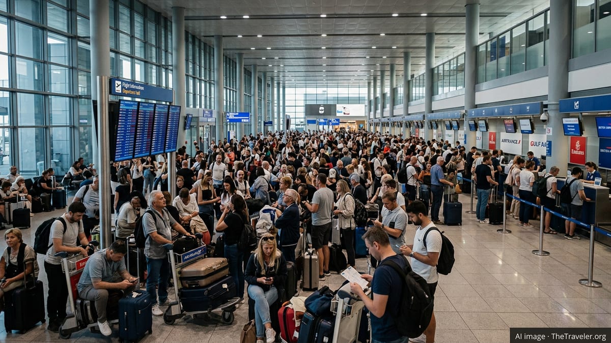
Red alerts as Storm Agneta hits key Greek regions
Publicly available forecasts from the Hellenic National Meteorological Service indicate that an emergency deterioration of weather is under way across much of Greece, with severe conditions expected to persist through at least late Monday 2 November. Updated bulletins describe a system bringing heavy rain, thunderstorms and a risk of hail, particularly affecting western Greece, northern mainland regions and parts of the Aegean.
Recent coverage in Greek media identifies the storm system as Agneta, characterising it as a vigorous autumn disturbance tracking across the Ionian Sea and mainland before shifting eastwards toward the Aegean islands. Reports highlight that western and southern Peloponnese, including coastal areas facing the Ionian, are likely to be among the hardest-hit zones on Monday as the core of the system moves inland.
Information shared via European weather monitoring platforms indicates that parts of Central Macedonia and other northern regions have already been subject to red-level warnings, reflecting a high likelihood of disruptive rainfall and thunderstorms. Localised accumulations of up to 150 millimetres of rain in 48 hours have been cited in some forecasts, raising concern for flash flooding, overflowing streams and difficult driving conditions on smaller local roads.
Greek-language weather advisories emphasise that the combination of intense downpours, strong gusts and possible hail could affect both urban centres and rural areas. While the pattern is typical of Mediterranean autumn storms, the concentration of heavy rain in short periods increases the risk of sudden impacts, particularly in areas that experienced earlier flooding during severe weather episodes in late October.
What the alerts mean for UK travellers bound for Greece
Greece remains open to visitors, but the shifting weather picture means that trips over the coming days may look different on the ground, especially for those planning to move between regions. Public guidance from the UK government on travel to Greece notes that extreme weather can occasionally disrupt transport networks, including ferries, flights and road links, and advises travellers to stay informed and follow local public information channels where possible.
For British visitors arriving into Athens, Thessaloniki or regional airports on Sunday 1 November and Monday 2 November, the most immediate impacts are likely to involve delays or cancellations on domestic services, particularly flights and ferries serving islands under heavy rain or strong winds. Port authorities in Greece can restrict or suspend sailings when conditions deteriorate, and this can affect popular island routes with little notice.
Travel industry advisories commonly recommend that passengers check the status of flights and ferry crossings on the day of travel and confirm transfer arrangements, especially for late-evening arrivals. In periods of red or orange weather warnings, it is also sensible to allow extra time for road transfers between ports and accommodation, because heavy rain can slow traffic and, in some locations, lead to temporary closures or diversions.
Package holiday travellers may have more flexibility, as tour operators sometimes adjust itineraries or move guests to alternative properties if a particular area is affected. Independent travellers, including those with separate flight and accommodation bookings, are encouraged to review their travel insurance documentation to understand what coverage applies for weather-related disruption, missed connections and additional overnight stays.
Regional hotspots: Peloponnese, northern Greece and the Aegean
Forecast maps and regional updates show that the early phase of Storm Agneta concentrates on the Ionian islands and western mainland Greece, before the most intense rainfall shifts toward central and northern areas and the eastern Aegean. Western Peloponnese resorts, along with parts of Epirus and western Central Greece, are highlighted for strong thunderstorms and heavy, prolonged rain during the first 24 hours of the event.
Central Macedonia, including the broader Thessaloniki region, has been singled out in recent red alert notices, indicating a high risk of disruptive weather. Travellers transiting through this part of northern Greece by road or rail should be prepared for reduced visibility, waterlogged sections of motorway and localised flooding in underpasses or low-lying suburbs, particularly during periods of peak rainfall.
Further east and south, islands in the northern and eastern Aegean, along with parts of the Dodecanese, are expected to face bouts of intense showers and storms as the system moves offshore. While conditions can vary significantly from island to island, ferry connections serving smaller ports may be especially vulnerable to disruption when strong winds combine with poor visibility and rough seas.
In contrast, some parts of southern Greece, including sections of Crete and the more sheltered Aegean islands, may experience only sporadic heavy showers rather than sustained severe weather. Forecasts nonetheless caution that sharp, localised storms can still bring hazardous lightning and short-lived flooding, particularly in urban areas with limited drainage capacity.
Practical advice for Brits already in Greece
Travel safety information for Greece compiled by the UK government stresses the importance of monitoring local weather updates during periods of extreme conditions. Visitors staying in hotels, guesthouses or short-term rentals can usually find English-language summaries from reception desks, television channels or widely used weather apps, which often mirror the main national alerts.
In areas under red or orange rain and thunderstorm warnings, travellers are advised in public guidance materials to avoid driving through flooded roads, underground car parks and riverbeds that may suddenly fill with water. It is also recommended to move vehicles away from streams or dry gullies when very heavy rain is expected and to secure loose items such as parasols or outdoor furniture on balconies and terraces.
For hikers and outdoor enthusiasts, the combination of slippery terrain, reduced visibility and the possibility of rapidly rising streams can make gorges, canyons and exposed coastal paths unsafe during and immediately after severe storms. Local advisories often suggest postponing such activities, particularly in mountainous parts of the Peloponnese, central mainland and northern Greece where rockfall and landslide risks increase after intense rainfall.
Beachgoers should pay attention to warning flags and notices, as strong waves and currents can accompany thunderstorms even after the heaviest rain has passed. On some organised beaches, lifeguard services or municipal staff may temporarily restrict swimming when conditions are considered hazardous, especially for children or weaker swimmers.
Planning trips in the days after Storm Agneta
Forecasts currently available suggest that while the worst of Storm Agneta’s impact may ease from Tuesday 3 November, unsettled conditions could linger in parts of western and northern Greece and the eastern Aegean. This means that some knock-on disruption to ferry timetables, regional flights and road travel remains possible even after the main weather alerts expire.
Travellers arriving later in the week may therefore find that schedules have been adjusted or that certain routes operate with delays as operators work through backlogs. Public information issued during previous severe weather events in Greece indicates that it can take several days for infrastructure such as minor roads, rural bridges and smaller island harbours to fully return to normal, especially where flooding or landslides have occurred.
Those yet to travel are encouraged in standard travel advice to keep monitoring both airline and operator updates and broader national weather information in the 24 to 48 hours before departure. Flexible arrangements, such as refundable accommodation or tickets that allow rebooking without heavy penalties, can provide additional reassurance when travelling into regions affected by evolving weather systems.
For visitors already on the ground, the core message from public guidance is to stay informed, stay adaptable and avoid unnecessary risks around fast-moving water, exposed coastal areas and mountainous terrain. With forecasts indicating that the most intense phase of Storm Agneta should be relatively short-lived, many popular Greek destinations are expected to return to more settled autumn conditions once the current wave of red and orange alerts passes.