

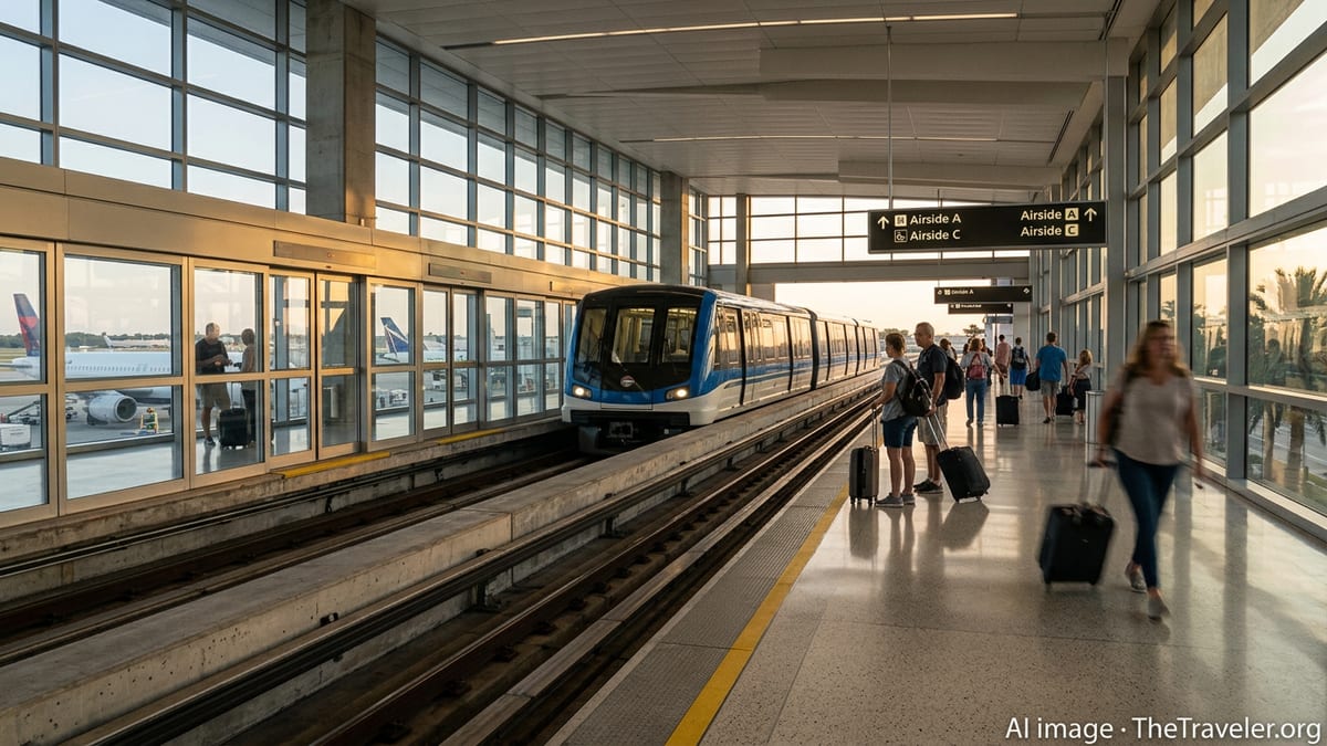
Brazil Leads Global Bleisure Boom With 13.8% Business Travel Surge
Brazil’s 13.8% jump in business travel spending highlights a global shift as seven destinations redesign corporate trips around culture, wellbeing and once-in-a-lifetime experiences.

I am writing observational travel analysis focused on how travel works beyond the surface.
Brazil’s 13.8% jump in business travel spending highlights a global shift as seven destinations redesign corporate trips around culture, wellbeing and once-in-a-lifetime experiences.
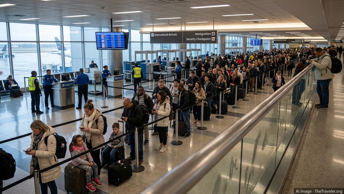
An ongoing ground handling strike in Barcelona, combined with weather and capacity issues, has delayed 2,379 flights and cancelled 176 across Europe.
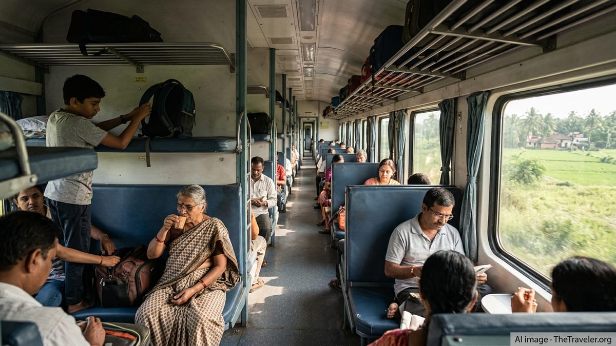
India’s new Vande Bharat Sleeper connects Bengaluru and Mumbai in about 16 hours. Here is what international and domestic travellers should know before booking.
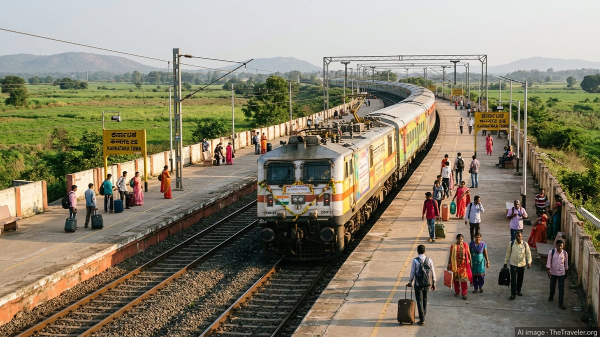
India’s semi high speed Vande Bharat train is finally entering Western Ghats trials between Bengaluru and Mangaluru, a crucial step toward faster coastal connectivity.
Indian and Nepalese pilgrims now have a new rail-based Bharat Nepal Aastha tour option. Here is how the package works and how to secure a seat.
A proposed Ghaziabad–NaMo Bharat rapid rail corridor aims to connect NCR hubs with Noida International Airport, promising sub-one-hour journeys and reshaping regional travel patterns.

Queensland’s integrated train and tram network is rolling out line numbers across South East Queensland, aiming to simplify wayfinding for locals, commuters and visitors.
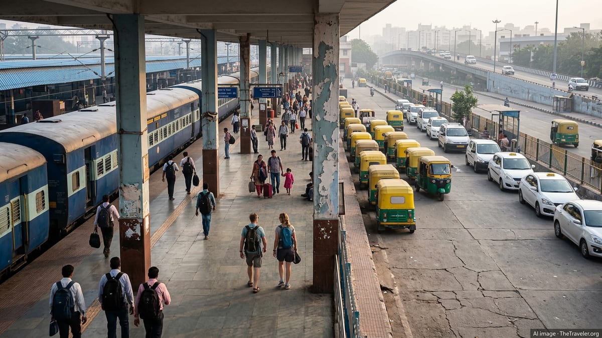
India has begun supplying modern LHB passenger coaches to Bangladesh Railway, marking a major safety and capacity boost for cross‑border and domestic services.

Amtrak Vacations is promoting new limited-time savings on rail-inclusive trips to iconic U.S. national parks, highlighting bundled packages and early 2027 travel dates.

Morris County in New Jersey is moving toward a year-round farm trail passport that links local producers, scenic trails and agritourism experiences for residents and visitors.
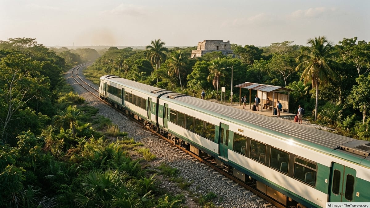
Mexico’s 11th place in TTW’s 2026 Safety Index highlights safer resort corridors and major cities, even as regional disparities keep risk awareness firmly on the agenda.

Ireland’s new 2026–2029 tourism strategy links growth targets with strict climate, accommodation and visitor‑management measures to reposition the country as a low‑impact destination.
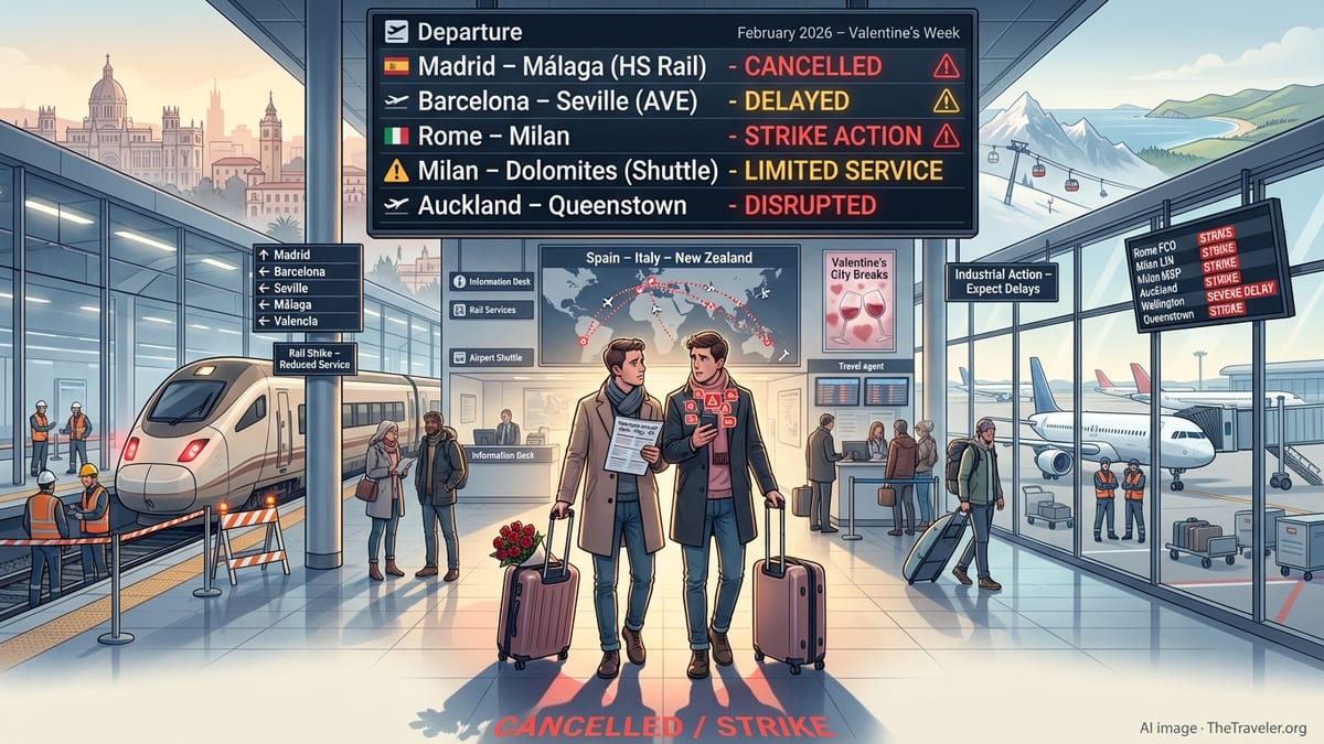
New US drawdowns at diplomatic posts across the Middle East highlight renewed fears of escalation with Iran and mounting uncertainty for travelers in the region.
Mississippi now records the nation’s highest preterm birth rate, underscoring how maternity-care deserts, poverty and policy choices are deepening an already stark health divide.
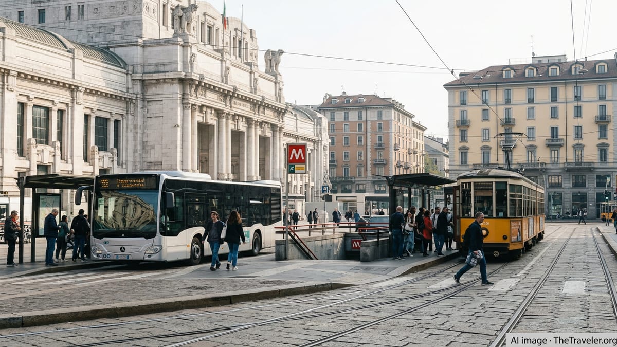
Italy’s Ferragosto holiday is driving a fresh mid‑August tourism surge, with Rome and Florence bracing for packed streets, sold‑out hotels and crowded cultural landmarks.