
More news on this day
Amsterdam’s official city and transport maps are being quietly redrawn for 2026, reflecting new public transport routes, shifting tourism patterns and even changing climate conditions in the Dutch capital.
Get the latest news straight to your inbox!
From postcard canals to a data-led city grid
For decades, visitors arriving in Amsterdam encountered stylised paper maps highlighting the canal belt, museum quarter and red-light district. Today’s cartography of the city is increasingly driven by data, with maps designed to show not only where to go, but where crowds, noise and heat are becoming a concern.
Publicly available information from the municipality indicates that tourism management is now a core driver of how Amsterdam is presented on official maps. Policies aimed at limiting nuisance and distributing visitors more evenly across neighbourhoods have encouraged a broader visual focus on districts such as Noord, Nieuw-West and Zuidoost, rather than just the historic centre.
City maps used in visitor communication now tend to frame Amsterdam as a network of cultural quarters, green spaces and residential areas rather than a compact party destination. The result is a more balanced graphic representation of the capital, helping travellers understand distances, travel times and the proximity of local communities that share the same streets.
This shift also reflects the city’s long-term tourism vision, which positions mapping as an instrument to steer visitor flows. Maps are being paired with messaging that highlights cultural institutions, smaller museums and parks, encouraging travellers to explore beyond familiar icons like Dam Square and the Anne Frank House.
A transport network redrawn on the map
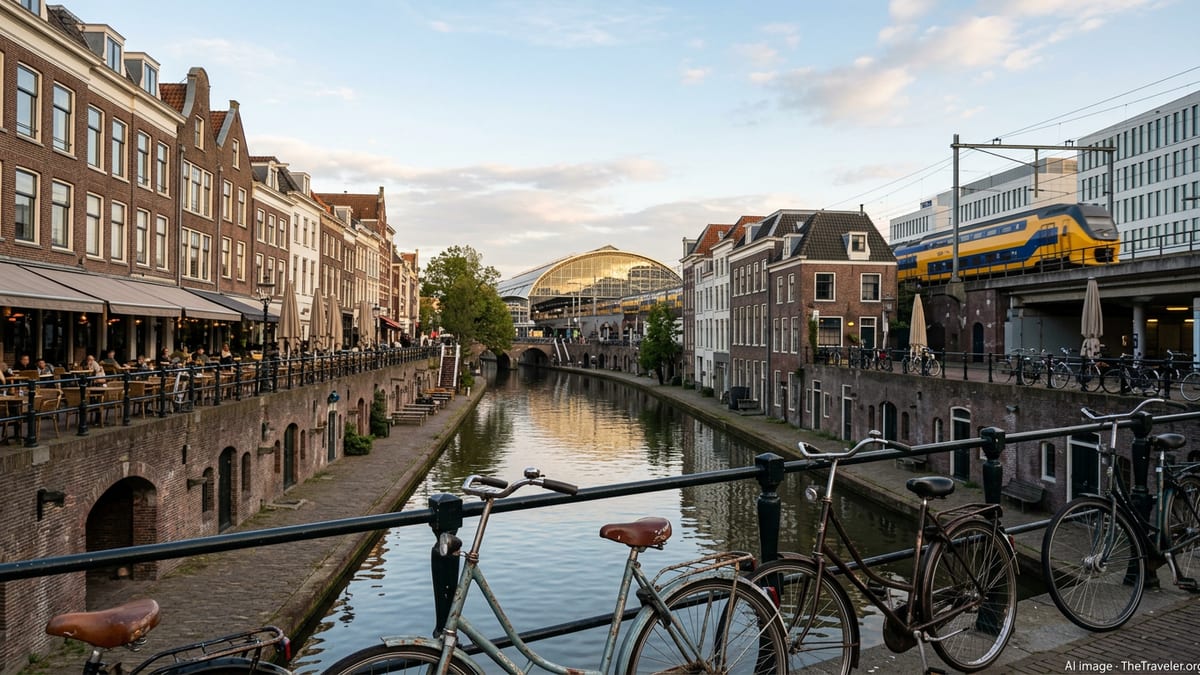
Nowhere is Amsterdam’s cartographic evolution more visible than on its public transport maps. The municipal operator GVB has rolled out a new timetable and route structure for 2026, with tram and bus lines adjusted to serve growing residential zones and employment hubs on the urban fringe.
Updated network diagrams show changes to several tram routes and a denser grid of bus services in areas such as Noord, Zuidoost and Nieuw-West. These schematic maps are designed to be read quickly, with colour-coded lines for the metro network, distinct symbols for tram and bus interchanges, and clear markers for ferry crossings over the IJ.
The metro map now highlights the full five-line system and the north–south axis that has become central to cross-city travel. Daytime and night-time network maps are increasingly presented side by side, reflecting a timetable in which some lines run later and at higher frequencies to match demand from both residents and visitors.
Travel guides for 2026 note that fare products, from hour tickets to city travelcards, are closely tied to this network design. Visitors are encouraged to think in terms of zones and travel time bands, with city maps showing how far a one-hour ticket typically takes them by tram or metro, rather than just a static list of stops.
Paper plans, digital layers and niche city guides
Traditional fold-out maps remain part of the Amsterdam experience, but they now coexist with a growing ecosystem of digital mapping tools. The city-owned transport operator promotes downloadable PDFs of the full network and detailed station plans, while independent platforms and apps overlay transit information on to standard street maps.
Digital-only maps have become especially important for short-stay visitors relying on smartphones. These tools combine the basic city grid with real-time routing suggestions, disruptions and accessibility notes. In practice, travellers see a layered Amsterdam: a base of canals and streets, topped with coloured tram and metro lines, walking routes, and icons for bike rentals or ferry piers.
Alongside official products, a cottage industry of thematic maps has emerged. Enthusiasts publish schematic versions of the metro and tram system, redesigned for clarity or style, while others assemble interactive city maps focused on nightlife, architecture, parks or startup offices. These niche guides rarely replace the official city map, but they shape how certain visitor groups choose their routes through town.
For many, the new normal is to use a paper overview collected at the station as a broad orientation tool, then switch to digital navigation for precise directions. This hybrid behaviour is reshaping how both the municipality and GVB think about scale and detail, with printed maps kept simple and apps expected to supply the fine print.
Mapping a city under climate and crowd pressure
Environmental pressures are also leaving their mark on Amsterdam’s maps. The city has recently promoted a heat map indicating where high temperatures are most intense in built-up areas and where cooler refuges can be found in parks or near open water. While primarily aimed at residents, this information increasingly appears in visitor-facing materials.
The visualisation of heat, green space and shade influences how walking routes are suggested, especially in summer. City guides and tourism platforms now highlight tree-lined streets, waterfront promenades and large parks as part of standard recommended itineraries, positioning them on equal footing with museums and shopping streets.
Crowding is another factor reshaping cartography. Visitor economy plans describe efforts to reduce pressure on the medieval core by promoting alternative attractions and neighbourhoods. New maps in brochures and station displays elevate areas like Oost, Noord and IJburg, showing art venues, urban beaches and local markets that absorb some of the demand once concentrated almost entirely in the centre.
The combined effect is a move away from a single, symbolic image of Amsterdam towards multiple functional maps. Some focus on comfort and safety in hot weather, others on quieter cultural routes, all layered on the same physical city but emphasising different choices for travellers.
Practical tips for reading Amsterdam’s 2026 city map
For visitors arriving in 2026, the starting point is often the free public transport and city map available near the main railway station. This overview typically shows the dense tram network in the inner city, the metro corridors for faster cross-town journeys, and key landmarks grouped by district.
Observers point out that the new tram and bus timetables can make the map look more complex at first glance, particularly in neighbourhoods served by several overlapping lines. Travellers are advised to identify just one or two primary routes that connect their accommodation with major areas of interest, using the schematic map to memorise line numbers and directions.
Digital tools can then refine the picture, translating the abstract network into street-level navigation. Many journey planners now display both a conventional street map and a stylised network diagram, allowing users to switch between the two depending on whether they are planning at home or standing at a tram stop.
As Amsterdam continues to adapt its tourism strategy, transport network and climate resilience policies, its maps are becoming more than navigational aids. In 2026 they function as a quiet guide to how the city wants to be seen, inviting visitors to move beyond a handful of famous streets and experience a broader, more liveable urban landscape.