

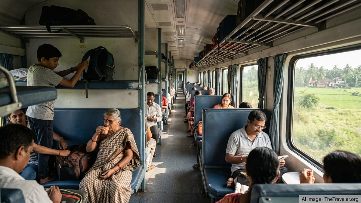
Western Railway Adds Janmashtami Special Trains Across Gujarat
Western Railway has announced Janmashtami special trains across Gujarat, boosting pilgrim connectivity to Dwarka and Okha and expanding capacity on key state routes.

I am writing observational travel analysis focused on how travel works beyond the surface.
Western Railway has announced Janmashtami special trains across Gujarat, boosting pilgrim connectivity to Dwarka and Okha and expanding capacity on key state routes.
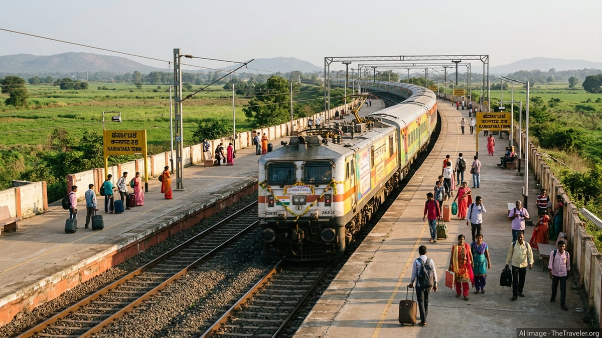
Southern Railway’s Thiruvananthapuram division operated 180 Onam special services in 2026, carrying 2.45 lakh extra passengers while maintaining high punctuality and expanded capacity.
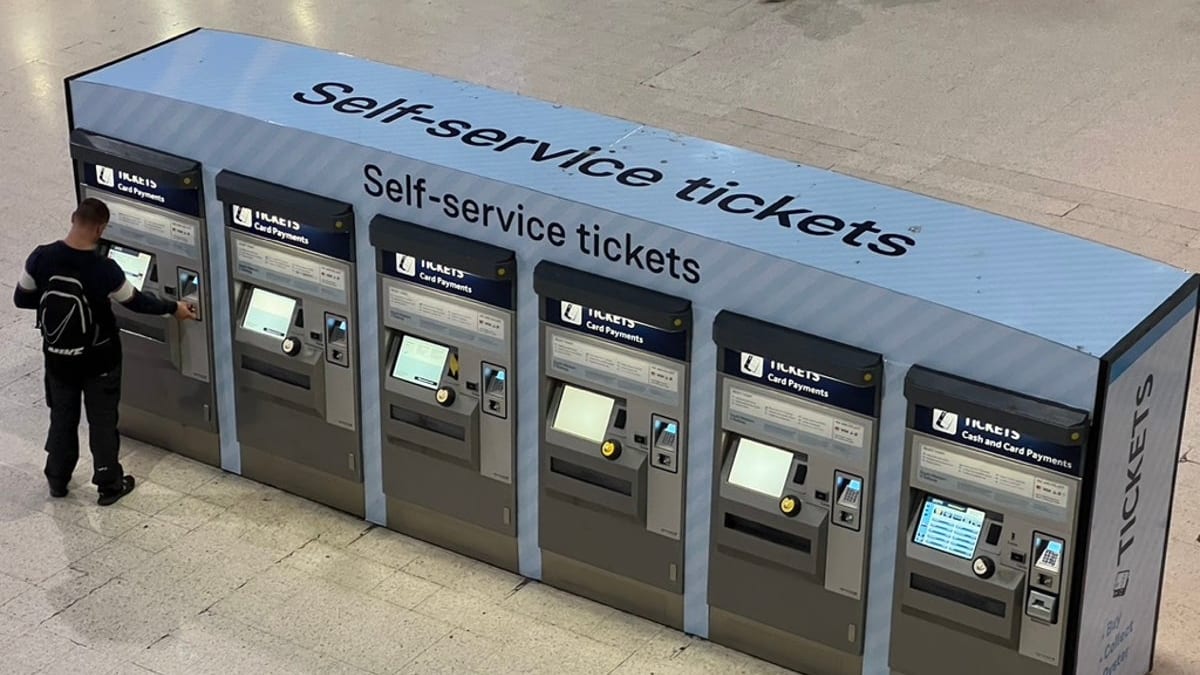
Jammu division of Northern Railway collected Rs 56.46 lakh in fines during an August ticket-checking drive that targeted ticketless travel and excess luggage.
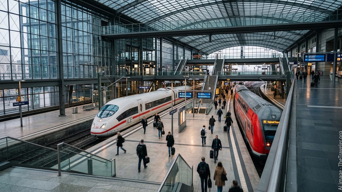
Germany intensifies its 2026 digital rail program, expanding ETCS, AI and new radio systems to boost train safety, capacity and resilience across its national network.
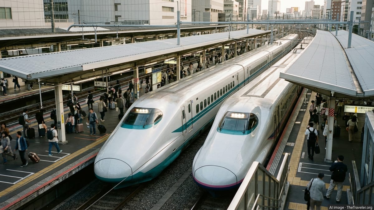
A newly announced Autumn All-You-Can-Ride Pass offers three days of unlimited JR local trains, unlocking lesser known regions for budget friendly foliage season trips.
Ukraine’s rail overhaul and new European partnerships are quietly laying the groundwork for a rapid rebound in cross-border tourism once full-scale fighting ends.
Australia’s legendary Ghan train introduces ultra-luxury Aurora Australis suites and a longer Outback itinerary, signaling a new chapter for premium rail travel.
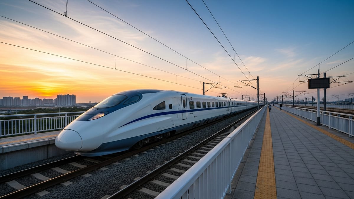
China’s rail network recorded an unprecedented summer season, approaching one billion passenger trips and underscoring rail’s central role in domestic tourism and mobility.
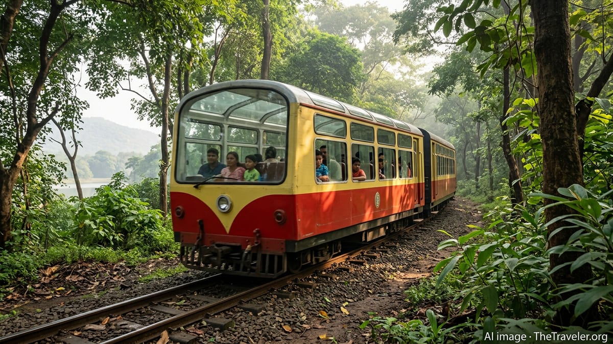
Mumbai’s expanding metro network is steadily drawing riders from packed suburban rail corridors, reshaping daily commutes and demand patterns across key western and central suburbs.
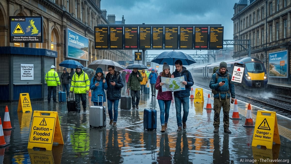
UK rail engineering specialist Rowe Hankins marks 40 years in 2026, as its once-hidden smart technologies gain prominence in efforts to make journeys safer worldwide.

Italian contractor GCF is aligning with national and EU plans to deliver more complete, digitally enabled rail networks across Italy by 2026 and beyond.
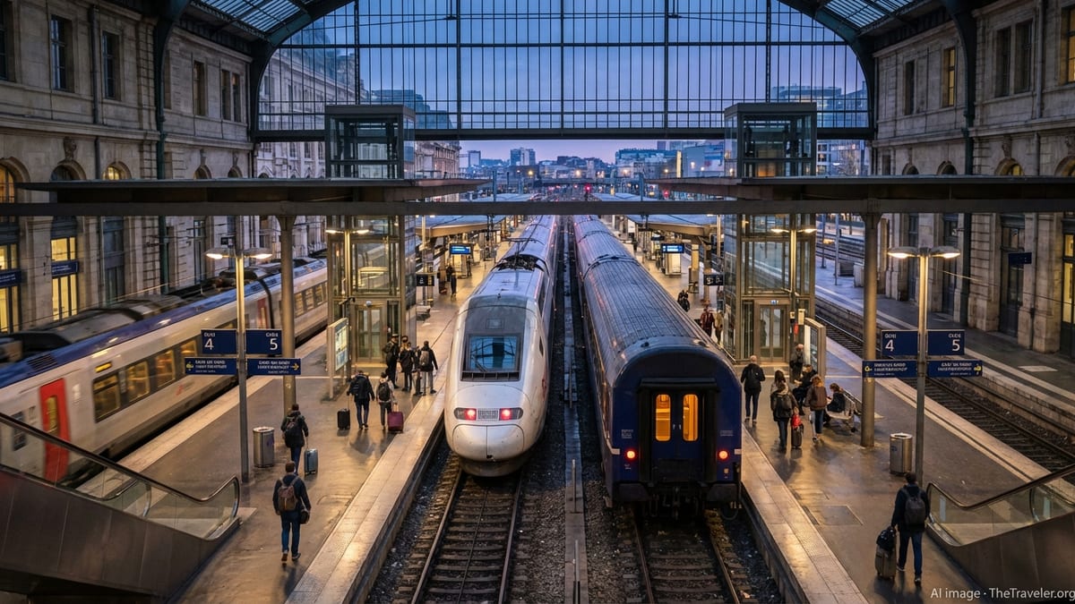
France’s SNCF prepares a new maintenance reference offer and upgraded safety regime for 2026, reshaping how high-speed lines and TGV fleets are maintained.
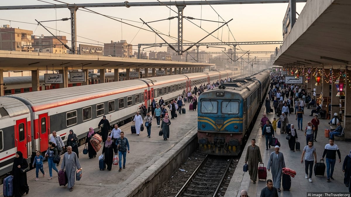
Egypt accelerates a vast rail transformation, from a 2,000 km high-speed electric network to upgraded classic lines preparing to carry millions of passengers every day.
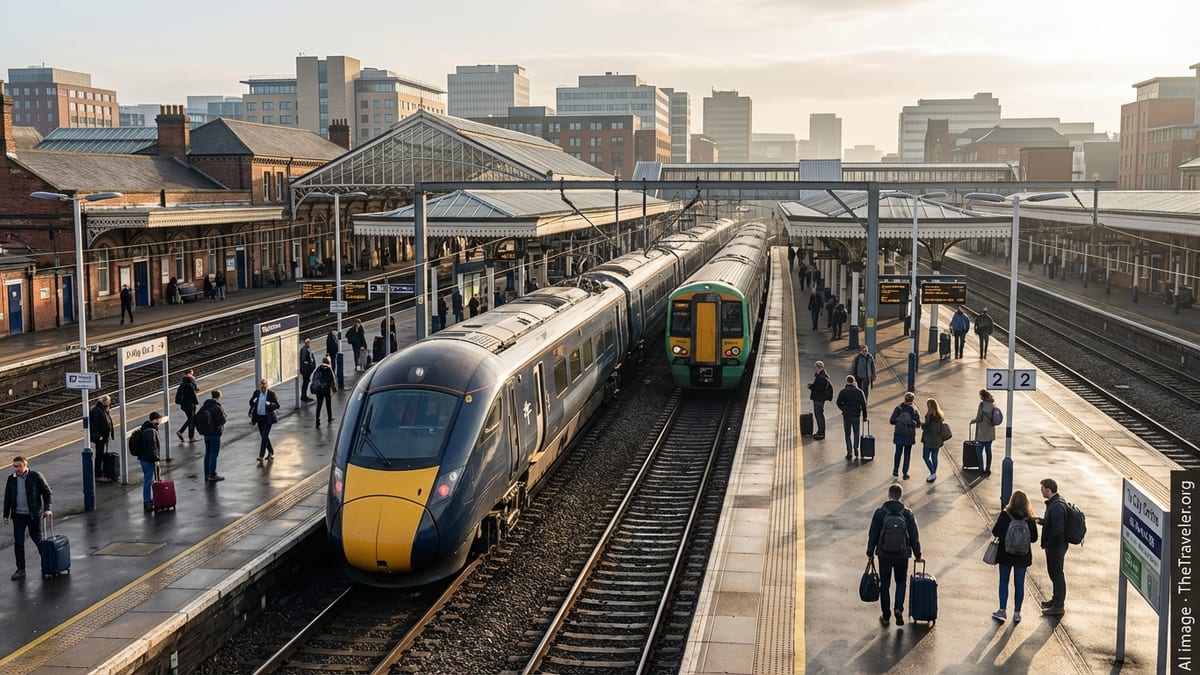
The United Kingdom’s digital signalling ambitions hinge on a complex, delayed push to fit trains with ETCS equipment across key main lines and commuter routes.
India’s proposed Delhi–Lucknow–Patna bullet train corridor is gaining momentum, with new studies and budget signals pointing to faster links across north and east India.