
More news on this day
Once a compact Ottoman capital clustered beneath Uludağ, Bursa is steadily expanding outward, and its evolving city map is reshaping how visitors understand and move through Turkey’s fourth-largest city.
Get the latest news straight to your inbox!
Historic core anchors an expanding urban footprint
Bursa’s contemporary city map still revolves around its historic core, where the Grand Mosque, Koza Han silk caravanserai and centuries-old bazaars form a dense cluster of streets that date back to the early Ottoman period. City guides highlight this central area between the Atatürk statue square, known locally as Heykel, and the Grand Mosque as the primary reference point for first-time visitors.
Surrounding this core, districts such as Osmangazi and Yıldırım represent the older, more traditional parts of the city, with tightly packed residential streets rising up the slopes toward Uludağ. Publicly available mapping and planning documents describe this zone as a heritage-sensitive area, where new infrastructure is planned to avoid disrupting the historic urban fabric.
To the west, the map shows the city fanning out into newer neighborhoods like Nilüfer, where modern housing, shopping centers and university facilities are concentrated. Travel guides increasingly present these western districts as part of the visitor experience, reflecting how Bursa has outgrown its image as a compact “old town” and become the urban anchor of a wider Marmara-region corridor.
Touristic city maps produced by local authorities now emphasize this broader footprint, combining the medieval street grid around the bazaars with ring roads, parklands, university campuses and industrial zones that frame Bursa as both a heritage destination and a contemporary industrial hub.
Public transport lines redraw how visitors read the city
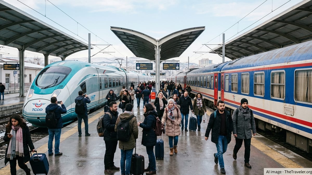
In recent years, Bursa’s city map has become as much about transit lines as it is about streets and monuments. The Bursaray metro, which runs mainly on an east–west axis, connects older central districts with residential and commercial areas on the outskirts, and appears prominently on updated transport maps. Reports indicate that the system carried close to nine million passengers in a single month this spring, underlining its centrality to daily life.
The metro’s underground section beneath the historic core is highlighted in planning documents as a deliberate engineering choice, allowing trains to pass below the Ottoman-era streets without altering their appearance. For travelers, this means the conventional tourist map of mosques and hans now overlays with a second, subterranean network that links key nodes such as Şehreküstü and Merinos stations.
On the surface, tram lines add another layer to the city’s cartography. The heritage-style circular tram line, often depicted looping around the old town, effectively outlines Bursa’s most walkable historic area, giving visitors a simple visual cue to the main sights. Additional tram corridors and bus routes spread out toward districts like Çekirge, known for its thermal baths, further extending the mental map of where tourists can realistically explore in a day.
Alongside rail, bus connections from the intercity terminal north of town are clearly marked on current transport diagrams, linking arriving travelers to the city center and to coastal suburbs on the Marmara Sea. Travel planners note that these links have turned Bursa’s bus terminal from a distant outpost into an integrated gateway on most practical city maps.
Digital mapping reshapes access to heritage districts
The rise of detailed online mapping platforms and downloadable tourist maps has altered how visitors approach Bursa’s UNESCO-listed urban landscape. Official tourism materials now provide city maps that layer historic hans, mosques and bazaars with modern amenities such as museums, parks and viewpoints, often in multiple languages aimed at international travelers.
These maps typically frame the UNESCO World Heritage core, including the khans district and nearby neighborhoods, as a compact zone that can be navigated on foot. Narrow alleys, stairways and courtyards that once required local knowledge are increasingly documented digitally, giving travelers clearer expectations about walking times, gradients and the proximity of sights such as Koza Han to the Grand Mosque and nearby parks.
Academic studies of Bursa’s historic center point to the importance of this fine-grained mapping for managing visitor numbers and preserving public spaces. By identifying plazas, green pockets and view corridors within the old city, planners aim to guide movement in ways that reduce congestion in sensitive streets while still keeping heritage sites easily reachable.
For individual travelers, the practical effect is that the “mental map” of Bursa now extends beyond a simple list of monuments. Digital city plans encourage people to think in terms of connected districts, walking routes and tram loops, changing how they string together visits to mosques, markets and museums over the course of a day.
Green spaces and Uludağ reshape the city’s edges
While much of the attention focuses on the historic heart, recent mapping efforts also highlight how Bursa’s relationship with its natural surroundings is evolving. Parks such as Kültürpark near the center and larger green areas along the road to Uludağ increasingly appear as structural elements on city maps, rather than as incidental patches of open space.
City-region guides present Uludağ not only as a ski and hiking destination, but as a defining geographic backdrop that orients visitors as they navigate streets and districts below. From many points in the city, the mountain serves as a visual compass, and maps often emphasize this north–south relationship between the urban grid and the slopes leading upward.
Recent destination brochures also showcase riverside and lakeside areas on the wider provincial map, indicating day-trip options that extend the perceived boundary of “urban Bursa.” By plotting bus and road links to places such as coastal Mudanya and the surrounding countryside, these maps encourage travelers to view the city as the center of a larger landscape that blends industry, agriculture and tourism.
Officials and planners have also promoted new or expanded parks on the urban fringe as part of wider sustainability goals, a trend that is gradually reflected in updated city plans. As these areas gain prominence, the traditional binary of “old town versus modern district” on tourist maps is giving way to a more nuanced picture that includes green buffers and recreational corridors.
Tourist information tools adapt to a growing metropolis
As Bursa’s physical and functional footprint grows, the tools used to explain the city to visitors have diversified. Printable tourist maps still feature prominently at hotels and information points, but many now mirror the color schemes and iconography of online transit and city-planning maps to reduce confusion.
Travel resources increasingly highlight the importance of the rechargeable BursaKart, which works across metro, tram and buses, and some guides position the locations where it can be purchased on their maps. This detail reflects a shift from purely sightseeing-focused cartography to a more integrated approach that combines attractions with the practicalities of getting around.
At the same time, independent travel blogs and commercial mapping platforms offer thematic perspectives on Bursa, from shopping-focused layouts of the silk bazaars to maps that prioritize thermal spas or contemporary cultural venues. Together with official touristic maps, these resources provide multiple “overlays” on the same urban space, each one influencing how visitors perceive distances, districts and priority routes.
With the city now loosely tied into a larger Marmara-region urban corridor linking Istanbul and coastal towns, regional maps increasingly show Bursa not as an isolated destination but as part of a megalopolitan network. For travelers, this broader cartographic context reinforces the idea that understanding Bursa’s city map is also a way of understanding its emerging role within northwestern Turkey as a whole.