


More news on this day
From refreshed transit diagrams to detailed walking and cycling guides, New York and Jersey City are rapidly updating how the region is mapped, giving travelers a clearer picture of the urban corridor on both sides of the Hudson River.
Get the latest news straight to your inbox!
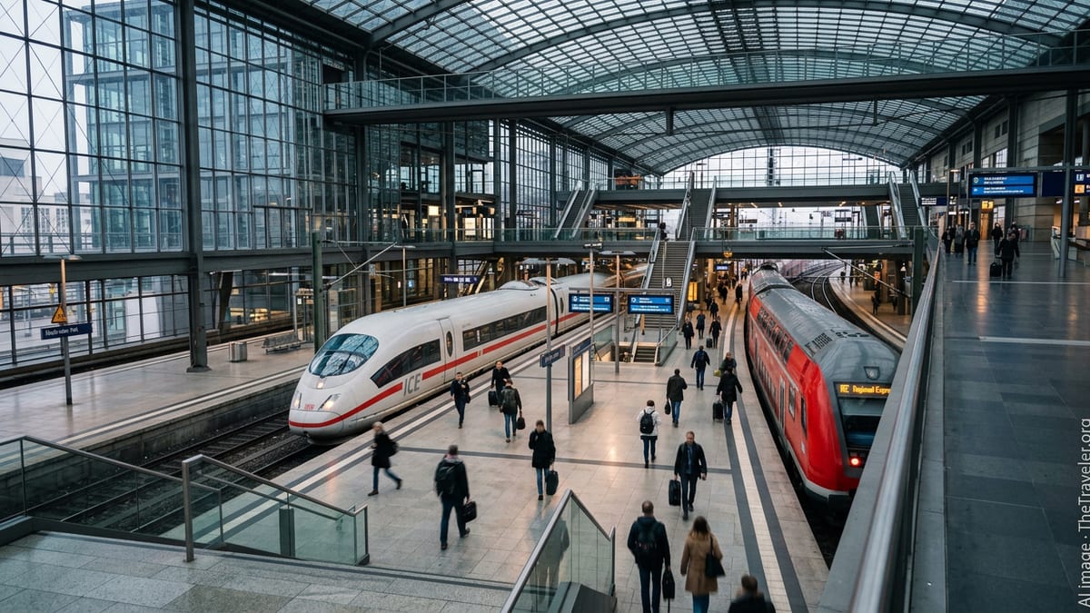
Walkable Wayfinding Links Manhattan and the Waterfront
Publicly available information shows that New York’s WalkNYC pedestrian wayfinding system now underpins much of the official city mapping used by visitors and residents. The design standard provides consistent neighborhood maps, orientation arrows and distance estimates, helping people understand how close they are to bridges, parks and transit connections that lead toward the Hudson River and New Jersey.
City design resources indicate that WalkNYC uses a shared cartographic database covering all five boroughs, with neighborhood-scale maps, building numbers and landmark labels intended to reduce confusion at street level. Updated guidance highlights walking times to subway stations and riverfront access points, which has become increasingly important as more travelers combine walking with ferry or rail trips toward Jersey City.
Planning documents note that the wayfinding system emphasizes a “heads up” orientation, where the map is aligned with the direction a person is facing rather than north at the top. This approach is designed to make it easier for occasional visitors to move confidently between Midtown or Lower Manhattan and waterfront terminals serving Jersey City.
Transit Maps Reflect Stronger PATH Connections
The rail link between Manhattan and Jersey City is being redrawn on system maps after a series of service changes in 2026. According to recent announcements and published coverage, the Port Authority’s PATH network has introduced its most substantial service enhancements in decades, including the restoration of all four lines operating seven days a week.
Updated PATH diagrams now highlight direct weekend connections such as Journal Square to 33rd Street via Hoboken, Hoboken to World Trade Center and dedicated Hoboken routes that had been curtailed for years. Reports indicate that weekend wait times on the Journal Square to 33rd Street service were cut from 20 minutes to about 10 minutes during the day, while weekday rush hour intervals between Hoboken and the World Trade Center have been tightened.
These timetable and map revisions effectively redraw the mental city map for Jersey City residents, putting Midtown and Lower Manhattan within more predictable reach. New schematics for riders emphasize simplified line colors, clearer transfer points and direct cross-river links, which in turn influence how visitors plan hotel stays, meetings and sightseeing on both sides of the Hudson.
Ferry Route Maps Expand the Hudson River Grid
The river between New York and New Jersey has also become a prominent feature on regional maps as ferry operators revise their route diagrams. NY Waterway’s latest publicly available materials for 2026 show weekday peak, off-peak and weekend route maps that connect multiple Jersey City and Hoboken terminals with Midtown and Lower Manhattan.
Terminals such as Paulus Hook and Liberty Harbor in Jersey City now appear alongside Manhattan’s Battery Park City and West Midtown on schematic maps that resemble subway diagrams, indicating travel times, peak patterns and transfer opportunities. Additional harbor and sightseeing services, outlined in recent operator press materials, further reinforce the idea of the Hudson as a navigable corridor rather than a barrier between cities.
Complementing the commuter routes, smaller services such as the Liberty Landing Ferry link Jersey City’s waterfront parks with Battery Park City in short, scheduled hops. Together, these maps encourage travelers to treat the river as another leg in a multi-modal journey that may include walking, cycling and rail.
Cycling and Micromobility Maps Bridge Two City Networks
On the New York side, the 2026 official bike map released by the city’s transportation department highlights an expanded network of protected bike lanes and greenways leading toward key Hudson River crossings. The current edition, available in both digital and printed formats, outlines connections from neighborhoods such as the East Village, Midtown and Harlem down to the waterfront bikeways that front ferry terminals and PATH-adjacent areas.
The map’s suggested routes and thematic tours, including cross-borough itineraries, illustrate how cyclists can reach the riverfront quickly, then transfer to ferries bound for Jersey City. While Jersey City and New Jersey agencies publish their own cycling and street maps, the practical result for riders is an emerging binational grid of lanes, paths and slow streets that make it easier to combine bikes with rail or boat trips.
Micromobility operators use these same base layers in their in-app maps, which often show bike-friendly corridors, station density and no-ride zones near transit hubs. The overlap between official city cartography and private mobility tools is gradually producing a shared visual language that helps riders understand how seamlessly they can move between boroughs and across the Hudson.
A Converging City Map for Residents and Visitors
Regional planning documents and transit coverage suggest that, taken together, these mapping and service updates are reshaping how the New York and Jersey City area is perceived. Instead of a sharp divide between Manhattan and the New Jersey waterfront, the latest maps present a more continuous urban landscape stitched together by updated PATH diagrams, ferry schematics, walking guides and bike networks.
For visitors, this convergence makes it easier to understand that major attractions, hotels and business districts on both sides of the river sit within a single navigable basin. For residents, clearer and more frequent cross-river links alter commuting options and may influence decisions about where to live, work or study within the region.
As agencies continue to roll out new capital projects and adjust services, further changes to official maps and wayfinding tools are expected. Each revision subtly reshapes the mental map of New York and Jersey City, reinforcing their role as closely connected pieces of a larger metropolitan whole.