


More news on this day
UK road, rail and air passengers are being urged to prepare for slower journeys as a widespread Met Office yellow warning for fog brings sharply reduced visibility across central and southern Britain from Sunday evening into Monday morning.
Get the latest news straight to your inbox!
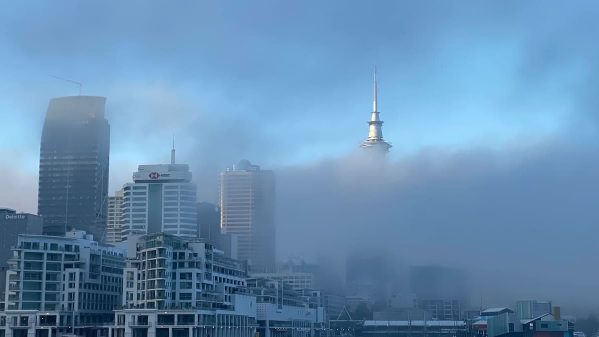
Yellow fog warning stretches across central and southern UK
The latest Met Office guidance shows a yellow fog warning in force from 6 p.m. on Sunday 8 November until late Monday morning, 9 November, covering large areas of the East Midlands, East of England, London and South East England, the West Midlands, North West England, South West England, Wales and Yorkshire and the Humber.
Publicly available information from the Met Office warning service indicates that dense fog is expected to redevelop quickly after dusk, becoming widespread overnight with visibility in some locations likely to fall below 100 metres. In pockets of the Midlands and parts of East Anglia, forecasters state that visibility could be closer to 50 metres at times, particularly in rural and low-lying areas.
The yellow warning classification signals a high likelihood of some travel disruption rather than widespread damage. Guidance notes for the National Severe Weather Warning Service explain that yellow alerts are used when weather is expected to bring low to moderate impacts, with the potential for localised disruption to daily routines and transport but not on the scale associated with amber or red alerts.
According to recent coverage by UK news outlets, the current pattern of light winds, clear skies overnight and damp ground has created what meteorologists describe as ideal conditions for thick radiation fog to form and linger into the morning rush hour.
Road users warned of slower trips and hazardous visibility
The Met Office warning text highlights the prospect of slower journey times on many of Britain’s main routes, with dense fog likely to be most persistent along sections of the motorway and trunk road network that run through river valleys and open countryside. Drivers are being advised, via published guidance, to check local conditions before setting out, allow extra time and be prepared for sudden changes in visibility.
Official road safety advice for foggy conditions, referenced by motoring organisations and public agencies, emphasises reducing speed, increasing following distances and using dipped headlights rather than full beam, which can reflect off fog and worsen glare. Drivers are also reminded to use front and rear fog lights where visibility falls below 100 metres, switching them off again once conditions improve to avoid dazzling other road users.
Public information campaigns around previous fog events in the UK have repeatedly underlined the risk of multi-vehicle collisions when dense fog forms quickly over sections of motorway or dual carriageway. In such situations, even modest speed can leave little time to react to stationary or slow-moving traffic ahead, especially if some vehicles are travelling without lights.
Local authorities and highways operators may respond to persistent fog by adjusting variable speed limits on managed motorways and using roadside signs to warn of poor visibility, although any such measures depend on conditions in specific corridors rather than being triggered automatically by a yellow warning alone.
Rail and bus passengers advised to expect localised delays
Within the text of the current yellow alert, the Met Office notes the potential for slower journey times on public transport, including delays to some bus and train services. Fog itself does not usually stop services from running, but reduced visibility can require lower line speeds on certain rail sections and more cautious approaches into stations and junctions, which can have a knock-on effect on punctuality during peak hours.
Publicly available service updates from previous fog events show that signalling issues can also arise when dense fog combines with very cold and damp conditions, although network operators typically seek to keep main commuter routes open with only minor timetable adjustments. Passengers travelling early on Monday are being encouraged, in general travel advice, to check operator apps and information boards before leaving home.
Bus operators in affected urban areas may also experience creeping delays as traffic slows on approach roads and ring routes. In some cities, additional loading time at stops can compound congestion if passengers arrive later than usual or services are running with reduced visibility for drivers.
Transport planners indicate in public documents that while fog rarely forces widespread cancellations on land networks, it can erode timetable resilience, particularly where routes are shared with long-distance freight or where engineering work has already imposed temporary speed restrictions.
Airports and domestic flights face risk of disruption
The Met Office warning language explicitly notes a chance of delays or cancellations to flights where fog becomes dense around major UK airports. Low cloud and fog can have a marked effect on operations at busy hubs in southern and central England, where tight scheduling and limited spare capacity leave little margin for extended spacing between aircraft.
According to recent reports from national media, the current warning zone includes approaches to several key airports serving London, the Midlands and the North West. When visibility on runways and taxiways drops below defined thresholds, airports can implement low-visibility procedures, reducing the rate at which aircraft can land and take off. This can quickly lead to holding patterns in the air and queues on the ground.
Airlines generally aim to maintain their schedules through periods of moderate fog by using aircraft and crews certified for instrument landings, but thicker, more persistent fog can still force diversions to airports with clearer conditions. Even when fog lifts by late morning, aircraft and crew can be out of position, creating knock-on disruption through the rest of the day.
Travel industry advisories routinely recommend that passengers booked on early-morning departures or late-night arrivals during a fog warning monitor their flight status closely and allow additional time to travel to the airport, given the possibility of slower traffic on surrounding roads.
What yellow fog status means for travellers in coming days
Documentation on the National Severe Weather Warning Service explains that yellow alerts are designed to prompt people to consider how adverse weather could affect their plans, rather than instructing them to cancel journeys outright. For the current fog episode, that means factoring in the likelihood of slower speeds, reduced visibility and localised disruption between Sunday evening and late Monday morning.
Met Office forecast guidance indicates that fog should gradually thin and lift through late morning on Monday as solar heating increases, with most affected areas expected to see a return to clearer conditions by midday. However, public information also notes that fog could redevelop on subsequent evenings if similar calm, clear conditions persist, even if further formal warnings are not yet in place.
Travel planners and local resilience documents point out that repeated episodes of dense fog can have cumulative effects on transport networks, particularly where they coincide with existing engineering work, seasonal demand peaks or reduced staffing. Even when impacts on any given day remain moderate, recurring low visibility can lengthen average journey times and increase the risk of minor incidents on busy corridors.
For now, the yellow fog alert serves as a timely reminder for anyone travelling across the affected swathe of the UK to stay informed, allow extra time, and be ready to adapt their plans if visibility worsens along their route.