


More news on this day
Back-to-back Atlantic systems Storm Austen and Storm Boelo are bringing powerful winds, heavy rain and widespread transport disruption across parts of the United Kingdom and northern Europe, leaving travelers facing short-notice changes to flights, ferries, trains and road conditions from Friday 23 October through the weekend.
Get the latest news straight to your inbox!
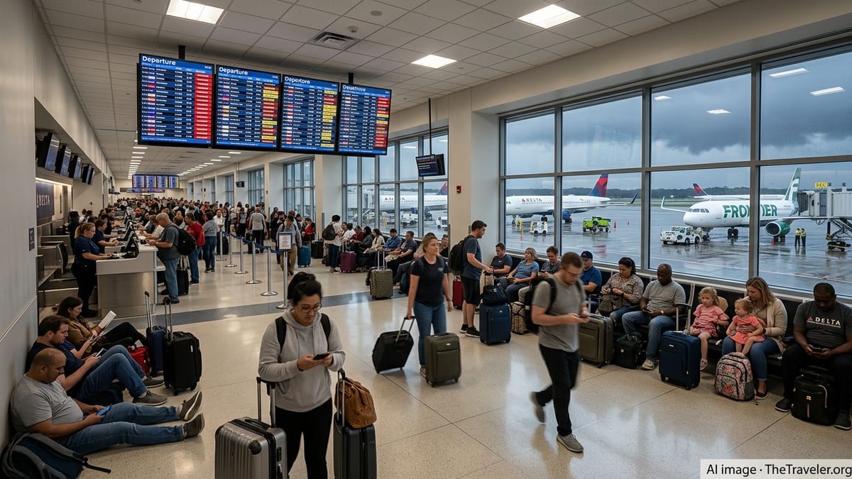
Where Storm Austen and Storm Boelo Are Hitting
Publicly available forecasts from the UK Met Office show Storm Austen moving east across southern Britain on Friday 23 October 2026, with the core impacts focused on southwest England, the English Channel coast and parts of south Wales. Amber wind warnings, the second-highest alert level in the UK system, have been issued for Cornwall, the Isles of Scilly and parts of Devon, with yellow wind warnings extending more widely across southern England. The system is also bringing bands of heavy rain to parts of Wales and southern Scotland.
Met Office outlooks indicate that as Austen moves away into the Low Countries and the North Sea, attention shifts to Storm Boelo over the weekend of 24 to 25 October. Boelo is expected to affect a different part of the country, with strongest impacts across Scotland, Northern Ireland and the far north of England, including the Central Belt, Highlands and several key cross-border corridors.
Regional services confirm that Scotland is preparing for a particularly unsettled period as Boelo approaches. Travel information from Traffic Scotland highlights an amber wind warning from the evening of Saturday 24 October through Sunday 25 October, covering much of mainland Scotland and warning of a high risk of disruption on exposed routes. Northern coastal areas and higher ground are likely to see the strongest gusts, while ferry routes and high bridges face an elevated risk of closure.
Beyond the UK, European coverage indicates that Austen is also influencing conditions around the North Sea basin and the Bay of Biscay, with strong coastal winds and large waves reported or forecast in northern France, the Low Countries and parts of northern Spain. So far, however, UK and Irish forecasters expect the most severe impacts from Austen and Boelo to remain focused on the British Isles.
Air, Rail and Ferry Disruption So Far
Airlines operating into southern UK airports on Friday, including London Gatwick, Heathrow, Bristol, Exeter and Newquay, are facing low cloud, turbulence and crosswinds associated with Storm Austen. Aviation forecasts point to gusts that may approach or exceed 60 to 70 miles per hour at exposed coastal locations in southwest England during peak hours, prompting some airlines to space out arrivals and departures, adjust approach patterns and preemptively trim schedules during the windiest periods.
Rail operators in southern England are already reporting operational changes linked to Storm Austen. Service updates compiled by independent disruption trackers show reduced speeds and short-notice cancellations on key commuter and airport routes including Southern, Thameslink and Gatwick Express services. In several cases, operators are warning passengers to expect extended journey times, on-the-day timetable changes and possible last-minute train crew or rolling stock reallocations as conditions evolve.
In Scotland and Northern Ireland, the main rail impacts are expected later in the weekend as Storm Boelo arrives. Traffic and travel briefings reference the risk of trees and debris on lines, overhead line damage on electrified routes and local flooding around low-lying stations. Travelers booked on long-distance services between England and Scotland on Saturday night or Sunday, including cross-border intercity routes, may face diversions or partial replacement by road if wind speeds exceed safety thresholds on key viaducts.
Ferry and coastal transport are also under pressure. Public information from Channel and Irish Sea operators indicates that several crossings have already been cancelled or placed under review due to Storm Austen, particularly on routes serving the Isles of Scilly, the Channel Islands and fast-ferry links that are more sensitive to wave height and wind direction. As Boelo moves in, Scottish island and west coast ferries are likely to face similar issues, especially on exposed sailings to the Hebrides, Orkney and Shetland.
Road Conditions, Closures and Power Disruptions
Road agencies and local councils are warning of challenging driving conditions as both storms move through. In southwest England, where much of the early impact from Austen has been felt, reports indicate gusty crosswinds on high, open stretches of the A30, A38 and sections of the M5, with a risk of overturned high-sided vehicles and temporary restrictions for caravans and motorhomes on some bridges and elevated routes.
According to compiled UK news coverage, Storm Austen has already led to thousands of homes losing power across parts of Cornwall, Devon, Wales and western England, as falling trees and branches damage overhead lines. Power cuts have a secondary impact on transport, affecting traffic lights, electric vehicle charging points and station and terminal facilities in some areas. Utilities have mobilised repair teams, but restoration times can vary depending on wind speeds and access conditions.
For Storm Boelo, Scotland’s traffic and transport guidance highlights the likelihood of difficult or dangerous driving on exposed roads such as sections of the A9, A82 and key bridges, including crossings over the Forth and Clyde. Amber-level wind alerts frequently lead to lane closures, convoy control or temporary shutdowns of the most exposed structures when gusts approach operational limits. In upland areas, intense showers and standing water can also reduce visibility very quickly.
In urban areas across both storms, surface water on roads, blocked drains and wind-blown debris such as roof tiles and loose construction materials are already being reported in some local media and online community feeds. Travelers are being encouraged via public advisories to allow extra time, avoid parking under large trees and check local traffic bulletins before setting out, particularly early in the morning and late at night when visibility is lowest.
Key Travel Advice for Visitors and Residents
For air travelers, airlines encourage passengers to keep contact details updated in their booking profiles so that schedule changes can be communicated by text or email. During named storms such as Austen and Boelo, carriers frequently introduce flexible rebooking policies on affected routes, allowing changes to flights across a defined date range without additional change fees. Travelers should check their airline’s travel alerts section for the latest conditions applying to their specific ticket, as rules differ between full-service and low-cost carriers.
Rail passengers in southern England on Friday and across Scotland and northern England over the weekend are advised in public travel notices to check live departure boards on the morning of travel and again shortly before leaving for the station. Where yellow and amber wind warnings are in force, speed restrictions and obstruction checks can continue even after the heaviest rain and gusts have passed, meaning residual delays often linger into the next timetable period.
Those planning to drive during the storms, including visitors from abroad who may be unfamiliar with UK rural roads, should pay close attention to local wind and rain warnings. Road safety campaigns recommend postponing non-essential journeys in the areas under amber warnings, especially for drivers of high-sided vehicles, campervans or vehicles towing trailers. If travel cannot be avoided, suggested precautions include reducing speed, increasing following distances and avoiding routes known to pass through dense woodland during the peak of the winds.
Travelers using ferries or island flights are strongly advised to reconfirm departure times on the day, as some operators only make final go or no-go decisions a few hours before sailing or takeoff. Accommodation providers in affected coastal and island areas are also monitoring conditions, and many are encouraging guests to plan for flexible check-in and check-out times if connections are delayed.
How Long the Disruption May Last
Medium-range updates from the Met Office’s 10-day trend analysis suggest that the most intense phase of Storm Austen will ease as the low moves inland over northern Europe late on Friday, with winds gradually moderating across southern Britain into Saturday 24 October. However, unsettled conditions with showers and blustery spells are likely to persist into the weekend, particularly around North Sea coasts.
Storm Boelo is expected to peak over Scotland, Northern Ireland and parts of northern England from late Saturday into Sunday. Forecast guidance points to strong winds and heavy rain over a 24-hour period, with some of the worst conditions timed for Saturday night and Sunday morning. Disruption to rail, road and ferry services in northern areas could therefore extend well into Sunday daytime as engineers inspect infrastructure, clear debris and restore power supplies.
By early next week, forecasters see signs of a gradual improvement, with pressure rising and a trend toward more settled weather developing across much of the UK. Even so, travel planners note that some lingering impacts, such as residual rail engineering work, saturated ground and minor localised flooding, could continue to affect certain routes for several days after the named storms have passed.
Given the evolving nature of both systems, travelers are being urged in official public guidance to monitor national meteorological and transport updates regularly through the weekend. Weather warnings for wind and rain can be upgraded, downgraded or reshaped at short notice as new observational data arrives, and the precise track of Storm Boelo in particular will determine where the strongest winds and heaviest rainfall are ultimately felt.