


More news on this day
Millions of rail passengers across southern Britain are being urged to prepare for significant disruption as Storm Austen, the first named UK storm of the 2026/27 season, brings the risk of 70mph winds, heavy rain and line closures from late Thursday into Friday.
Get the latest news straight to your inbox!
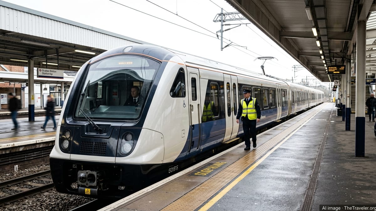
Storm Austen set to hit rail corridors from Thursday night
Publicly available forecasts show Storm Austen approaching the UK from the Atlantic, with wet and windy conditions expected to intensify over south Wales and southern England from late Thursday, 22 October, into the morning of Friday, 23 October. The Met Office has named the system because of its potential to cause widespread disruption, including to key transport routes.
Met Office guidance indicates that coastal gusts could exceed 70mph along some exposed stretches of the south west, southern and south east coasts, while inland areas within the warning zone may see gusts of 50 to 60mph. The strongest winds are currently expected during the early hours of Friday, coinciding with the morning commuter period on some of the country’s busiest main lines.
Weather warnings published on the Met Office website highlight the likelihood of travel delays, including on rail, and the possibility of short-notice cancellations and reduced timetables. In addition to severe winds, bands of heavy rain are forecast to move east across England and Wales, increasing the risk of standing water, localised flooding and debris on the tracks.
Forecast discussions emphasise that there is still some uncertainty over the exact track and intensity of Storm Austen, but the consensus across major weather models points to an impactful period of weather for southern parts of the UK. Travellers are being advised through operator channels and media coverage to expect disruption even if their area lies on the fringe of current warning zones.
Key routes and regions at greatest risk of disruption
The strongest winds associated with Storm Austen are expected to focus on south west England, south Wales and sections of the south coast, where many of Britain’s busiest intercity and commuter railways are concentrated. Reports from national forecasters indicate that warning areas take in main lines linking London with Bristol, Cardiff, Plymouth and Penzance, as well as coastal routes through Devon and Cornwall.
Further east, publicly available outlooks suggest that routes serving London and the South East, including lines into major terminals such as Paddington, Waterloo and Victoria, may also experience high winds and heavy downpours for a time on Friday morning. Secondary lines on exposed coastal stretches, including segments in Dorset, Hampshire, Sussex and Kent, are considered particularly vulnerable to fallen trees and flying debris.
Experience from previous storms, documented in government and industry reports, shows that strong winds can trigger a cascade of rail problems, from overhead line damage and signal failures to structural issues at stations. Remote cuttings, embankments and wooded sections of line are prone to blocked tracks when trees or branches are brought down. Where routes run close to the sea, large waves and wind-driven spray can add further hazards, forcing precautionary speed restrictions or closures.
While Scotland and northern England are not in the main focus of the current warnings, national forecasts still point to brisk winds and wet weather across much of the country as Storm Austen tracks east. This may lead to scattered delays away from the core warning area, including on long-distance services that cross multiple regions during the storm period.
What rail passengers can expect on the day
Based on current weather alerts and standard industry responses to severe storms, travellers should be prepared for a range of disruptions as Storm Austen moves through. These can include pre-emptive speed restrictions on open and exposed sections of track, which lengthen journey times and may lead to missed connections even where services continue to run.
Rail operators often respond to high-impact wind warnings by reducing the number of trains on the busiest corridors to lessen the risk of congestion if an incident occurs. This can mean amended or emergency timetables on key intercity and commuter routes, with fewer services and longer gaps between trains at peak times. In some cases, first and last trains may be adjusted so that no services are scheduled during the hours of highest risk.
Where trees, roofing materials or other debris fall onto lines, trains can be brought to a standstill until safety checks are completed and engineering teams have cleared obstructions. Public information from past storm events indicates that such incidents can cause multi-hour closures on individual routes, especially in rural areas where access for heavy equipment is limited. Knock-on disruption can continue well after the strongest winds have passed while trains and staff are repositioned.
Heavy rain accompanying Storm Austen also raises the possibility of localised flooding, particularly at tunnels, cuttings and low-lying sections of track. Standing water can damage signalling equipment and ballast, forcing temporary closures and further speed restrictions. In previous autumn storms, similar conditions have led to both short stretches of line being shut and, occasionally, wider network disruption where alternative routes are limited.
Advice for travelers planning journeys during Storm Austen
Rail passengers with journeys scheduled from Thursday evening into Friday are being encouraged through operator updates and media coverage to treat their plans as provisional until closer to departure. Many train companies allow fee-free changes or refunds when severe weather affects services, and travellers are being urged to check the latest disruption information and ticket guidance before setting out.
Current best practice advice suggests that, where possible, passengers should consider travelling earlier on Thursday or later on Friday to avoid the period of strongest winds forecast overnight and during the Friday morning peak. Those who must travel during the warning window are advised to allow considerable extra time, expect crowded trains on any remaining services, and plan alternative routes in case their usual line is closed or severely delayed.
For airport-bound travellers, the potential for compounded disruption is significant, as delays on rail links to major hubs such as Heathrow and Gatwick can coincide with weather-related issues in the air. Passengers connecting to flights may wish to build in additional contingency time or investigate coach and road options, bearing in mind that road networks can also be affected by high winds and fallen trees.
Travellers with accessibility needs, or those accompanying young children, may find storm-affected journeys particularly challenging. Guidance from previous severe weather events suggests checking in advance whether step-free access routes, lifts and assistance services are operating normally at key stations, since these can also be disrupted by power interruptions or structural damage during high winds.
How long the disruption could last after the storm moves through
Although the most intense phase of Storm Austen is expected to be relatively short-lived, concentrated mainly between the early hours of Friday and around midday, rail disruption can continue into the afternoon and evening. Network clean-up operations, safety inspections and the gradual restoration of full timetables often extend for several hours beyond the end of official weather warnings.
Published analyses of earlier autumn storms in the UK show that even where infrastructure damage is limited, it can take the rest of the day for services to return to normal. Trains and crew may be out of position following cancellations and diversions, and some rolling stock may require inspection for wind or debris damage before being allowed back into service.
If Storm Austen’s track or intensity differs from initial forecasts, the geographic scope and duration of disruption may change at short notice. Passengers are therefore being strongly encouraged, through widely available travel and weather channels, to monitor live updates throughout Friday rather than relying on printed timetables or assumptions based on typical journey times.
Looking ahead, forecasters are also monitoring the potential for another deep low-pressure system to approach the UK within 24 to 48 hours of Storm Austen, which could slow recovery on some routes or lead to renewed disruption over the weekend. For now, rail passengers across the warning area are being urged to plan cautiously, stay informed and be prepared for a significantly slower and more uncertain travel experience as the storm passes.