
More news on this day
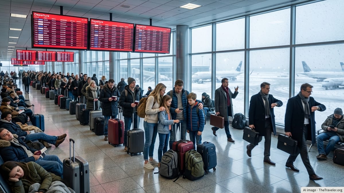
Thunderstorms sweeping across North Texas on Friday morning prompted a ground stop at Dallas–Fort Worth International Airport and Dallas Love Field, disrupting early travel plans at two of the nation’s busiest airfields.
Get the latest news straight to your inbox!
Thunderstorms Disrupt Early Departures Across Dallas
Reports from aviation tracking services and local media indicate that strong thunderstorms built over the Dallas–Fort Worth area shortly after daybreak, bringing heavy rain, lightning and low cloud ceilings to both major airports. In response, air traffic management put a temporary halt on many departures bound for Dallas–Fort Worth International Airport (DFW) and Dallas Love Field (DAL), a measure intended to keep arriving and departing traffic from exceeding safe limits during the worst of the weather.
Publicly available flight boards for both airports showed dozens of flights listed as delayed, with some early morning departures held at their origin cities under a ground stop order. Arrivals already in the air were in some cases placed into holding patterns or re-sequenced for landing while controllers managed spacing through the storms.
The ground stop came as forecasters highlighted a corridor of unsettled weather across parts of Texas, with storms capable of producing intense downpours and frequent lightning. Meteorological outlooks for the region pointed to a very moist air mass and a disturbance moving across North Texas, a combination that supported rapid thunderstorm development around the morning rush window.
Dallas Love Field, a key base for short-haul domestic routes, and DFW, one of the country’s largest connecting hubs, are both highly sensitive to convective weather because of their heavy traffic volumes and intersecting arrival and departure flows. Even a relatively small, slow-moving storm cluster over the Metroplex can quickly ripple through schedules across the country.
Extent of Delays and Cancellations
Airline status boards and flight-tracking platforms showed that the Friday morning ground stop translated into widespread but uneven disruption. Some flights experienced short holds of 30 to 60 minutes, while others were pushed back several hours or, in select cases, canceled when crews or aircraft could not be repositioned in time once the ground stop lifted.
At DFW, early hub-bank departures were among the most affected, as flights bound for Dallas from other regions were held at their origin airports until conditions improved. That created a cascading impact on connecting itineraries, with travelers facing missed connections and rebookings through later bank waves.
Love Field, which handles a high volume of point-to-point operations, saw clusters of departures delayed together as thunderstorms moved across the city. Some aircraft remained at gates while the ground stop was in effect, while others were delayed in pushback queues waiting for departure slots to reopen.
Historical data from previous storm-related ground stops at DFW and Love Field show that even a few hours of halted arrivals and departures can take much of the day to unwind, as aircraft and crew rotations gradually realign. Travelers booked on later flights were advised through airline apps and alerts to monitor their status closely as knock-on delays developed.
Weather Conditions Behind the Ground Stop
Publicly available weather analyses for North Texas on Friday described a warm, humid environment ahead of a disturbance moving across the Southern Plains, creating favorable conditions for morning thunderstorms. Radar imagery around the time of the ground stop showed storms repeatedly developing and tracking across the Dallas–Fort Worth area, producing periods of torrential rain and reduced visibility.
Forecast discussions for the broader region had highlighted the risk of locally heavy rainfall, lightning and gusty winds through the morning hours, with the potential for storms to redevelop or train over the same areas. Such patterns are particularly disruptive for major airports, where safe operations depend on maintaining adequate separation between aircraft in constrained arrival and departure corridors.
In addition to rain and lightning, low cloud ceilings can sharply reduce arrival capacity, forcing controllers to sequence aircraft more conservatively. When combined with the volume of traffic typically scheduled into DFW’s morning banks and Love Field’s early departures, those restrictions can quickly prompt the use of formal traffic management programs such as ground stops.
Once storms began to weaken or shift east of the Metroplex, early indications suggested that arrival rates could be gradually increased, allowing the ground stop to transition to a delay program. That approach typically permits more flights to depart for Dallas while still metering their arrival times to match available capacity.
Impact on Travelers and Airline Operations
Passengers traveling through DFW and Love Field on Friday morning encountered long lines at customer service counters and busy airline call centers as they sought alternative options. According to published coverage of similar recent disruptions at the two airports, travelers often face challenges rebooking when storms hit during peak travel periods, as later flights can quickly fill.
Ground stops also strain airline operations behind the scenes. Crew schedules may be pushed beyond legal duty limits when flights are held for extended periods, forcing last-minute changes that can trigger further delays. Aircraft that were meant to operate multiple segments throughout the day may miss their next rotations, compounding schedule disruptions at downline airports.
Airlines increasingly encourage passengers to rely on mobile apps and text alerts for real-time updates, and to accept proactive rebooking offers when severe weather is in the forecast. In previous North Texas storm events, carriers have sometimes issued flexible-travel waivers for DFW and Love Field, allowing customers to adjust itineraries within a defined window without change fees or fare differences.
Travel experts note that early morning flights typically offer the best chance of avoiding weather-related disruptions, but thunderstorms that form around sunrise, like those that affected Dallas on Friday, can still significantly affect first-wave operations. Connecting passengers, in particular, are advised to allow more generous layover times when severe weather is expected along hub corridors.
Outlook for the Rest of the Day
Short-range forecasts for North Texas indicated that showers and storms could linger or redevelop through parts of the day, though the most intense activity was expected to be concentrated around the morning period that triggered the ground stop. As conditions gradually improved, air traffic flow was expected to normalize, albeit with residual delays as airlines worked through backlogs.
Operational patterns from prior weather days at DFW and Love Field suggest that midafternoon and evening departures can remain vulnerable to secondary disruptions, including aircraft arriving late from earlier delayed flights and crews reaching duty limits. Travelers with later departures were encouraged, through airline advisories, to verify gate and departure times repeatedly throughout the day.
Looking ahead, broader outlooks for the Southern Plains pointed to an ongoing risk of scattered thunderstorms over the coming days, though specific impacts for the Dallas–Fort Worth airports will depend on the timing and exact placement of storm development. For airlines and passengers alike, Friday’s ground stop serves as another reminder of how quickly summer thunderstorm complexes can disrupt even the most carefully planned flight schedules at major hubs.