


More news on this day
Dense fog across the East of England on Friday morning has led to slower journeys and localized disruption on key road, rail and air routes after a yellow weather warning was issued for the region.
Get the latest news straight to your inbox!
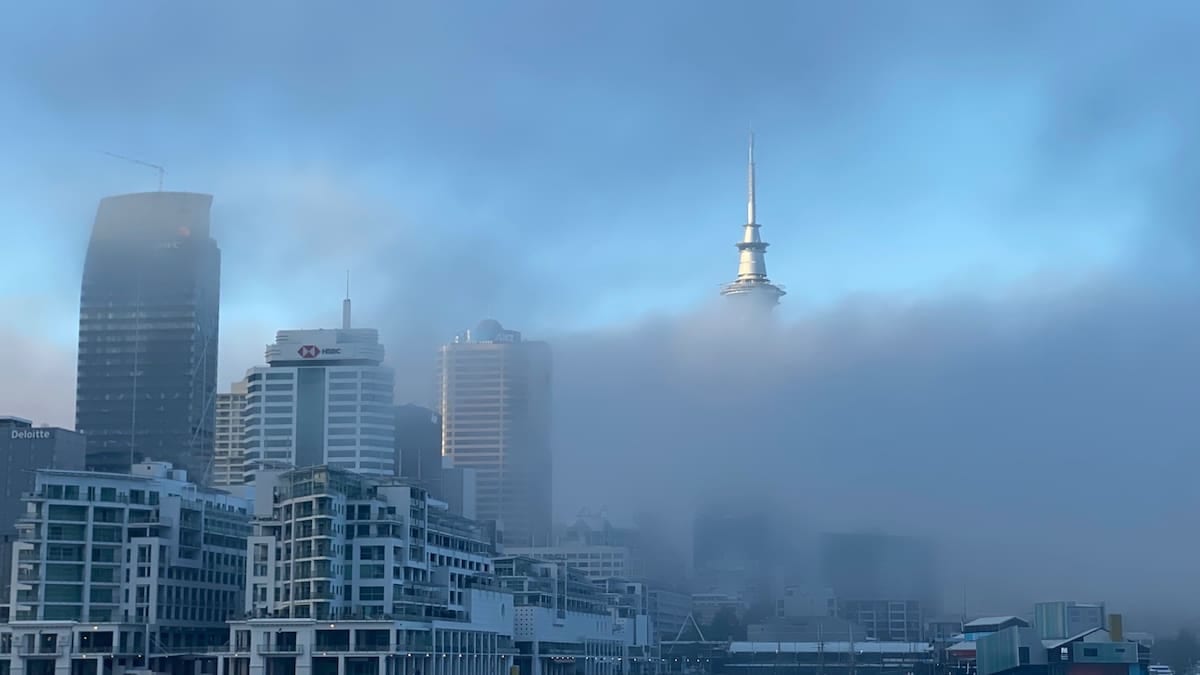
Yellow fog warning targets morning peak period
The Met Office issued a yellow warning for fog covering the East of England, along with parts of the East Midlands, London and the South East, and the West Midlands, in force until 10:00 on Friday 30 October. Publicly available guidance describes visibility falling below 100 metres in places, with the greatest impact expected around the morning rush hour.
The warning area in the East of England includes Bedfordshire, Cambridgeshire, Essex, Hertfordshire, Norfolk, Peterborough, Suffolk and surrounding local authorities. Regional forecasts highlight widespread mist and fog at daybreak, especially through Cambridgeshire and adjacent counties, with some patches slow to clear into the afternoon.
Met Office regional forecasts for the East of England indicate that fog is lifting in many urban areas by early afternoon, leaving a milder, largely dry day. However, forecasters also note that some rural spots in eastern England may remain under low cloud and lingering fog for longer, keeping temperatures lower and visibility reduced.
Further national outlooks from UK forecasters suggest that high pressure is bringing calmer, drier conditions after a run of autumn storms, but also creating an environment favourable for repeated overnight mist and fog formation across central and eastern England in the coming days.
Road networks see slow traffic and safety warnings
Road travel across parts of the A1, A11, A12 and A14 corridors has been affected as dense patches of fog formed before dawn. Transport-focused coverage and regional news reports describe drivers facing rapidly changing visibility, with some stretches of major routes clear and others suddenly dropping to tens of metres.
Motoring organisations have renewed advice for drivers to adjust their speed, leave greater distance to the vehicle in front and use dipped headlights and front and rear fog lights when visibility falls below 100 metres. Recent seasonal guidance from the AA stresses the importance of being able to see and be seen in autumn fog, emphasising that drivers should avoid relying on automatic lighting settings and should check fog lights manually before setting off.
Local outlets in the wider warning zone, including eastern parts of Nottinghamshire and the East Midlands, report that the thickest fog has coincided with the early commute, slowing traffic on rural A-roads and making junctions and roundabouts harder to navigate. In the East of England, similar conditions are reported on routes connecting market towns to larger centres such as Cambridge, Norwich and Ipswich.
While there have been no widespread reports of major motorways closing purely because of fog, transport safety reviews in the UK note that dense fog is a recurring risk factor for collisions, particularly on high-speed roads where drivers may underestimate how little time they have to react when visibility drops sharply.
Rail and air passengers advised to check before travelling
The yellow warning notes a risk of delays to rail services as drivers operate at reduced speeds in areas of poor visibility. Network Rail performance reports indicate that fog is typically a minor contributor to delay minutes compared with wind or flooding, but dense patches can still require cautionary speed restrictions, especially on lines with level crossings or complex junctions.
As of Friday morning, national disruption boards show no major fog-specific cancellations across the East of England rail network, though individual services have been subject to minor delays where visibility has briefly deteriorated. Operators have been using digital channels and station boards to encourage passengers to check live departure information before leaving home.
The fog risk also extends to air travel. UK aviation guidance notes that dense fog can reduce runway capacity or temporarily suspend operations at affected airports if visibility falls below set thresholds. While no extended shutdowns have been widely reported on Friday morning in the East of England, the national fog warning highlights the possibility of delayed or diverted flights, particularly during periods of thickest fog around daybreak.
Travellers heading to regional airports serving the East of England, as well as major London airports located within the broader warning area, are being advised through public information channels to monitor airline updates, allow extra time for journeys from fog-prone suburbs and consider flexible tickets where possible.
Commuters face lingering fog risk into the weekend
Forecasts from the Met Office and national broadcasters suggest that the pattern of overnight fog followed by gradual daytime clearance could continue into the weekend. High pressure and light winds are expected to persist, providing ideal conditions for mist and fog to reform after dark across parts of central and eastern England, including the East of England region.
BBC Weather analysis this week highlights that after recent stormy spells, the UK is moving into a calmer but foggier period, with thick morning fog already causing hazardous driving conditions on Thursday in some eastern counties. Similar conditions are indicated for Friday and the following days, particularly along river valleys and low-lying rural areas.
Met Office blog guidance for the coming weekend notes that many places will enjoy dry weather and some autumn sunshine once fog clears, but warns that some patches may be dense and slow to lift, especially in southern and eastern England. Motorists and rail commuters in the East of England are therefore likely to face another few days where their morning journey depends heavily on how quickly local fog thins.
Travel planners suggest that those with flexible schedules consider starting journeys later in the morning when possible, particularly on cross-country routes where fog tends to linger longer than in city centres. For early-shift workers who must travel at first light, checking live traffic, rail status and airport information remains important while the yellow fog warning pattern persists.
What today’s warning means for East of England travellers
The Met Office impact scale for a yellow fog warning signals a high likelihood of fog with a moderate level of disruption, rather than widespread closure of transport networks. For the East of England, this has translated into slower, more cautious movement across multiple modes of transport rather than large numbers of cancellations.
Road users are experiencing lengthened journey times, particularly on rural stretches and single-carriageway routes where visibility can drop abruptly. Bus operators in some parts of the wider warning area have reported minor timetable slippage as vehicles reduce speed through foggy sections, although core services are continuing to run.
Rail passengers are mostly seeing services operate with relatively small delays where visibility has required extra caution from train drivers. At airports, operations teams are monitoring visibility closely and using instrument landing systems where available to maintain movements, while making contingency plans for any short-notice changes if conditions worsen.
With the fog warning scheduled to expire by late morning, most of the immediate disruption for East of England travellers is expected to focus on the early commute on Friday. However, given forecasts for repeated episodes of dense fog under continuing high pressure, regular checks of local weather updates and transport information are likely to remain a key part of travel planning across the region in the days ahead.