
More news on this day
Air travel across Japan has been thrown into disarray as twin tropical storms Mekkhala and Higos sweep north, triggering heavy rain, strong winds and widespread flight disruptions during one of the country’s busiest travel periods.
Get the latest news straight to your inbox!
Airlines Cancel Flights Nationwide as Storms Close In
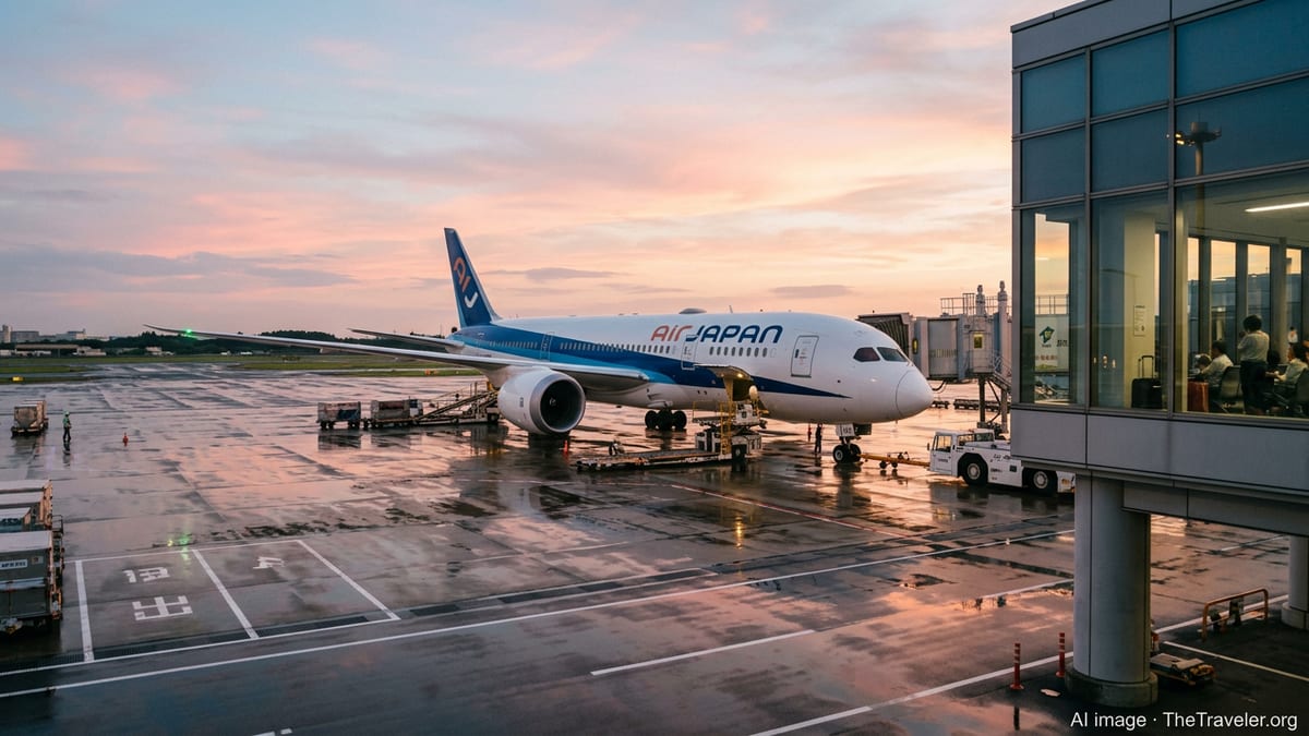
Japanese carriers canceled more than 100 flights on Friday and additional services on Saturday as the two tropical storms moved closer to the main islands, according to published coverage from regional and international outlets. The disruptions affected routes ranging from Okinawa and Kyushu in the southwest to the Tokyo region and as far north as Tohoku.
Publicly available information shows that All Nippon Airways and Japan Airlines were among the operators grounding or delaying services, particularly at airports exposed to strong crosswinds and intense rainfall. Local media reports indicate that Naha Airport in Okinawa and other hubs in western Japan experienced some of the heaviest schedule changes.
Airline notices cited safety considerations related to gusty conditions and reduced visibility, with further short-notice cancellations and delays possible as the storms track along Japan’s Pacific coast. Travelers have been advised through carrier websites and airport announcements to check the status of their flights and allow extra time for check-in and security procedures.
The disruption comes as domestic travel demand remains strong in early summer, heightening the impact on passengers connecting between regional cities and major international gateways in Tokyo and Osaka.
Tropical Storms Mekkhala and Higos Intensify Rain and Wind
The Japan Meteorological Agency has tracked Severe Tropical Storm Mekkhala and Tropical Storm Higos as they spiral north over warm waters, feeding moisture into a seasonal rain front that has lingered over the country. Meteorological bulletins and press reports describe Mekkhala as the stronger of the pair, with maximum gusts exceeding 140 kilometers per hour at its peak, even after being downgraded from typhoon status.
Higos, following a nearby path over the Philippine Sea, has remained somewhat weaker but is contributing additional rain bands and onshore winds as it approaches the archipelago. Combined, the two systems are delivering torrential downpours to wide areas of western and central Japan, including parts of Shikoku, Kyushu and the Kansai region.
Weather coverage in Japanese and international media notes that flooding and landslide risks have risen in several prefectures, adding another layer of concern for transport operators. Railway companies have reported localized suspensions, while aviation planners adjust routes and timings to avoid the most severe conditions around the storms’ centers.
Forecast tracks indicate that the storm pair will continue to affect Japan through the weekend as they curve northeast, keeping rain and gusty winds in the forecast for major hubs such as Tokyo’s Haneda and Narita airports.
Fujiwhara Effect Raises Forecast Uncertainty
Meteorologists have highlighted the possibility of a Fujiwhara effect, a phenomenon in which two tropical cyclones in close proximity begin to rotate around a common center and influence each other’s movement. Coverage in Japanese newspapers and international agencies notes that the interaction between Mekkhala and Higos has complicated short-term forecasts.
Depending on their distance and relative strength, the storms could diverge, move in succession or partially merge, altering the timing and intensity of rain and wind over key population centers. This uncertainty has encouraged airlines and airports to adopt a cautious stance, leading to broader preemptive cancellations and schedule adjustments than might occur with a single, more predictable system.
Travel industry analysts say that such interactions can extend the period of unsettled weather, prolonging disruption even after the storms themselves begin to weaken or transition into extratropical systems. For passengers, that means that residual delays and aircraft rotations may continue to ripple through domestic and regional networks beyond the peak of the weather event.
The same interaction is expected to keep the seasonal rain front active over central and eastern Japan, increasing the likelihood of localized flooding near major transport arteries and further constraining recovery efforts.
Impact on Travelers and Tourism Hotspots
The storms’ arrival coincides with a busy time for both domestic travelers and international visitors, many of whom are using Tokyo, Osaka and Fukuoka as gateways to popular regional destinations. Tourism-focused publications report that disruptions have already affected journeys to resort areas in Okinawa, the Kyushu onsen regions and coastal cities along the Pacific side of Honshu.
Hotel operators and local tourism boards have encouraged visitors to monitor local advisories and maintain flexible itineraries. In some low-lying or landslide-prone districts, community facilities have been opened as temporary shelters, while tour operators have adjusted excursions to avoid swollen rivers, mountain passes and coastal viewpoints exposed to high surf.
At airports, long lines have formed at rebooking counters as travelers seek alternative connections or same-day departures. With aircraft and crew displaced by cancellations, many seats on remaining flights are heavily booked, and some travelers are turning to shinkansen services where rail lines remain open.
Industry observers note that Japan’s travel sector has become accustomed to rapid responses to severe weather, with airlines, railways and hotels emphasizing real-time updates and flexible policies to maintain confidence among both domestic and overseas visitors.
What Passengers Should Expect in the Coming Days
With both Mekkhala and Higos forecast to move northeast along or just off Japan’s Pacific coastline, aviation disruption is expected to remain most pronounced at airports facing the open ocean, including facilities in Kyushu, Shikoku, Kansai and the Kanto region. Forecast summaries suggest that periods of intense rain and gusty winds could occur in pulses as outer rain bands move across the country.
Travel planners recommend that passengers build additional margin into schedules, especially when making same-day international and domestic connections. Rebooking rules, fee waivers and change options vary by airline, and passengers are being urged through public advisories and carrier notices to review conditions carefully before heading to the airport.
Once the storms move away and the rain front weakens, flight operations are expected to recover relatively quickly, although some routes may experience lingering delays as carriers reposition aircraft and crews. For visitors already in Japan, experts suggest treating the severe weather period as an opportunity to explore indoor attractions and museums in major cities while conditions gradually improve.
For now, however, the twin tropical storms continue to dominate Japan’s early summer travel landscape, underscoring how quickly itineraries can be reshaped by shifting weather patterns in the northwest Pacific.