


More news on this day
Thick fog is forecast to blanket London and large parts of southern England in the early hours of Monday, prompting a yellow weather warning and raising the prospect of disrupted road and air travel for thousands of commuters and holidaymakers.
Get the latest news straight to your inbox!
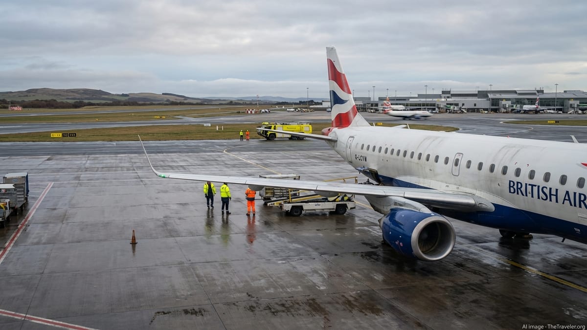
Yellow warning issued as visibility set to plunge
The UK Met Office has issued a yellow fog warning covering London and South East England from 00:00 to 10:00 on Monday 2 November 2026, following a similar alert through Sunday morning. Publicly available guidance states that fog, dense in places, is likely to bring slower journey times and delays to bus and rail services, with a chance of disruption to flights.
The advisory notes that visibility could fall below 100 metres in some areas, particularly around river valleys and low-lying routes feeding into the capital. Forecasts for Heathrow indicate a dull, grey start with widespread fog during the morning period before gradual improvement later in the day.
Weather briefings in recent days highlight an area of high pressure settled over the UK, bringing lighter winds and clearer overnight skies. Met Office analysis released this week describes conditions as increasingly favourable for overnight mist and fog, particularly across southern England, after a spell of stormier weather further north.
Travel information services tracking nationwide alerts report that the same fog warning band stretches across large parts of England and Wales, including the East Midlands, West Midlands, North West England, South West England, Yorkshire and Humber and Wales, suggesting knock-on effects for long-distance journeys into and out of London.
Motorists warned of hazardous morning commutes
The timing of the fog event coincides with the morning rush hour around the capital, raising concerns over driving conditions on major radial routes and orbital motorways. The M25, which encircles Greater London and connects to key motorways such as the M1, M3, M4 and M23, is expected to be particularly vulnerable where dense patches of radiation fog form in low-lying stretches.
Road-safety advice circulated alongside the weather alert urges drivers to allow extra travel time, reduce speed in line with visibility, and make sure fog lights are working before setting off. Guidance also emphasises leaving greater stopping distances and avoiding sudden braking, which can increase the risk of multi-vehicle collisions when visibility is severely reduced.
Local travel planners are recommending that those who can do so consider delaying non-essential journeys until late morning, when the combination of rising temperatures and sunlight is expected to lift low cloud and fog. However, forecast discussions suggest that some stubborn patches may linger into midday in sheltered locations, especially where light winds limit dispersion.
In recent years, case studies from transport and meteorological agencies have underlined how short-lived but intense fog events around London can trigger chain reactions of disruption, from minor shunts on local A-roads to lane closures on busy motorway sections. The current yellow warning stops short of signalling widespread shutdowns but points to a clearly elevated risk of travel problems during the morning peak.
London airports brace for low-visibility operations
London’s airports are preparing for possible disruption as the fog thickens overnight. Met Office warning pages for London City and London Gatwick airports highlight the potential for dense fog patches with visibility below 100 metres, conditions that can force tighter spacing between aircraft, temporary suspensions of movements or diversions to airports with better visibility.
At Heathrow, an active weather warning flag is in place on the airport’s forecast page, with meteorologists indicating a period of widespread morning fog. Aviation reference material notes that the airport already monitors fog closely because of the potential for delays, diversions and cancellations when runway visibility drops below key operational thresholds.
Industry analyses of past fog events show that even when airports remain technically open, low-visibility procedures can reduce capacity and lead to reactionary delays across the day, particularly on long-haul networks. On busy winter schedules, early-morning disruption can cascade into missed connections and late-evening arrivals, affecting passengers far beyond the South East.
Travel advisory services are encouraging passengers to check the status of their flights before leaving home and to be prepared for changes at short notice. Some airlines routinely offer free rebooking during forecast fog episodes when advance warnings from meteorological services give time to adjust schedules, though such options vary between carriers.
Why conditions are ripe for London fog this week
Meteorological briefings over the past week describe a marked shift from the recent Atlantic storm pattern to a calmer regime dominated by high pressure over the UK. Met Office commentary explains that clearer skies, lighter winds and lingering surface moisture combine to create ideal conditions for radiation fog, especially overnight and around dawn.
Across southern and eastern England, including Greater London, air arriving from the North Sea has added extra moisture to lower layers of the atmosphere. When skies clear after dark and winds drop, the ground cools rapidly, chilling the air immediately above it until water vapour condenses into microscopic droplets, forming banks of low cloud and fog near the surface.
Forecasters indicate that this pattern of misty, foggy mornings followed by brighter afternoons is likely to persist into the first week of November, although day-to-day variations in wind speed and cloud cover will affect how widespread and dense the fog becomes on any given morning. The current yellow warning reflects one of the more impactful episodes expected in this period.
Climate and aviation studies focused on London’s airports also suggest that fog frequency can fluctuate from year to year, influenced by broader atmospheric patterns. Technical papers on Gatwick and Heathrow highlight ongoing efforts to improve fog prediction, including the use of high-resolution models and machine learning tools to better anticipate localised visibility changes along runways and approach paths.
What travelers should do in the next 24 hours
With the yellow fog warning in force from midnight to late morning on Monday, travelers heading into, out of or across London are being urged by public information services to keep plans flexible and monitor updates. Road users can benefit from checking real-time traffic maps and roadside message signs for speed restrictions, lane closures or incidents linked to poor visibility.
Passengers using Heathrow, Gatwick, Stansted, Luton, London City or Southend are advised to verify flight times through airline channels before departing for the airport and to allow extra time for slower road and rail journeys. Airport planners typically activate low-visibility procedures when fog thickens, which may lengthen ground movements even if scheduled departure times remain unchanged.
Within Greater London, commuters relying on buses or surface rail services should be prepared for slower operations where drivers face very poor visibility, particularly across exposed sections of route and on approaches to major river crossings. National rail and coach operators serving the wider warning area in England and Wales may also adjust timetables or impose speed restrictions, with knock-on impacts for services into the capital.
Publicly available guidance from meteorological agencies stresses that warnings can be updated or extended as new data arrive. Travelers planning early departures on Tuesday and later in the week are therefore being encouraged to check for fresh forecasts each evening, as the same high-pressure pattern that has produced Monday’s dense fog could lead to further early-morning visibility problems around London and the wider region.