


More news on this day
A blanket of dense fog settled over London in the early hours of Sunday 1 November, with a Met Office yellow weather warning in force and early-morning travellers warned to expect slower journeys and potential disruption on the roads, in the air and on parts of the rail network.
Get the latest news straight to your inbox!
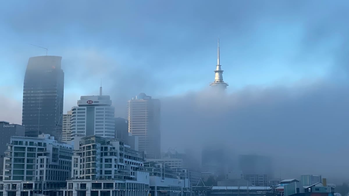
Yellow fog alert covers London and large swathes of England
The Met Office placed London and much of central and eastern England under a yellow warning for fog from shortly after midnight until 10:00 on Sunday 1 November. Publicly available guidance for the alert states that dense patches are likely to cut visibility to below 100 metres in places, raising the risk of travel delays across the morning peak.
The current warning area stretches beyond the capital to include the East Midlands, East of England, South East England, North West England, South West England, the West Midlands and Yorkshire and the Humber, according to coverage from UK media and the national forecaster. Forecast maps for London and the South East indicate that fog is most widespread around dawn, gradually thinning into low cloud and mist as temperatures rise.
Although the yellow category is the lowest on the Met Office impact scale, recent blog updates from the forecaster highlight that high pressure over southern Britain is encouraging a calmer but foggier pattern into early November, with overnight mist and fog more likely to linger into late morning where winds remain light.
Regional outlooks for London and the South East show largely dry conditions, but note that where fog persists, it will feel markedly colder and grey even as other parts of the region brighten. Travellers are being advised via public information channels to monitor short‑notice changes to the warning as visibility can improve or deteriorate quickly.
Airports grapple with low visibility as early flights face disruption risk
London’s airports are particularly exposed to sudden changes in visibility, and early‑morning aviation data on Sunday points to challenging conditions. Hourly METAR observations for London Gatwick show visibility dropping to around 400 metres between roughly 02:20 and 04:50 UTC, with the airfield reporting fog and cloud bases close to 100 feet before conditions began to improve toward mid‑morning.
At London City Airport, aviation weather summaries in the early hours of Sunday show temperature and dew point running almost identical at about 9 degrees Celsius, a narrow spread that favours the formation of mist and fog. Forecasts for the late morning period indicate a gradual improvement to marginal visual flight conditions as visibility lifts toward 10 kilometres, but with low cloud still possible around 1,000 feet.
While major hubs such as Heathrow, Gatwick, Stansted and London City are equipped with instrument landing systems and low‑visibility procedures, persistent fog can still slow movements and reduce runway capacity. Public flight‑tracking and airport information services on similar fog days often show a pattern of minor delays building into the mid‑morning peak, along with occasional diversions or cancellations where crew duty limits or connection windows are affected.
Travelers booked on early departures from London airports today are being encouraged via airline and airport channels to check their flight status before leaving home, allow extra time for slower road and rail journeys to the terminals, and be prepared for last‑minute gate or schedule changes as the fog gradually lifts.
Drivers urged to adjust plans as visibility drops below 100 metres
For road users, the main impacts of the yellow fog warning centre on reduced visibility, longer stopping distances and a greater risk of collisions on high‑speed routes. The Met Office’s general safety advice for fog events stresses the importance of slowing down, increasing the gap to the vehicle in front and using dipped headlights, with fog lights only when visibility falls seriously below normal levels.
Recent guidance circulated by driver‑safety organisations in response to this week’s sequence of fog alerts across eastern England recommends carrying a charged mobile phone, a torch and warm layers in case of unexpected delays, as well as ensuring fuel levels are sufficient before joining motorways or orbital routes such as the M25. Weather‑related briefings highlight that dense patches can form suddenly in low‑lying areas, on river crossings and on rural approaches to the capital.
The London Resilience Partnership’s public framework on severe weather notes that fog can increase the risk of road traffic collisions on motorways and trunk routes around the city, particularly where speed remains high into areas of rapidly changing visibility. While rail impacts are usually limited, the same document points out that river and airport operations are more vulnerable to prolonged low visibility, which can have knock‑on effects for passenger journeys.
Within Greater London, Transport for London channels typically advise drivers to plan extra time for cross‑city trips when visibility is poor, and to consider switching to rail or Underground services where practical. With the current fog warning timed to expire by late morning, conditions for later weekend road traffic are expected to improve once the mist lifts.
Rail and urban transport largely resilient but slower commutes likely
London’s rail and Underground networks are less directly affected by fog than road and air travel, but impacts can still be felt in the form of reduced road access to stations, slower approach speeds on open sections of line and congestion where passengers switch modes at short notice. The Met Office’s general warning text for the current fog episode flags the potential for delays to bus and train services, particularly in areas where visibility becomes highly variable along a route.
Recent National Rail and Transport for London travel updates for the wider week already list planned engineering works on several corridors into and across the capital, meaning some passengers are relying on rail replacement buses or alternative routes. In thick fog, those road‑based substitutes are more exposed to conditions than the rail lines they replace, which can extend overall journey times for long‑distance and commuter services alike.
Travel forums and local information channels across the UK often underline that a yellow fog warning is not, in itself, a notice to avoid travel altogether. Instead, passengers are advised to check operator updates shortly before departure, carry water and warm clothing in case of unscheduled waits on platforms or at interchanges, and expect more gradual boarding and alighting as visibility around platforms and bus stops deteriorates.
With calmer high‑pressure weather expected to persist across southern Britain into the start of the working week, transport planners are watching for further overnight fog formation on Monday and Tuesday mornings. Public forecasts indicate that any additional fog patches are most likely during the small hours into dawn, reinforcing the need for commuters and visitors heading into London to keep a close eye on early‑morning updates before setting out.