


More news on this day
Drivers and passengers across Sussex are being urged to prepare for slower journeys after the Met Office issued a yellow warning for dense fog, with reduced visibility expected to affect key road, rail and air links from late Saturday into Sunday morning.
Get the latest news straight to your inbox!
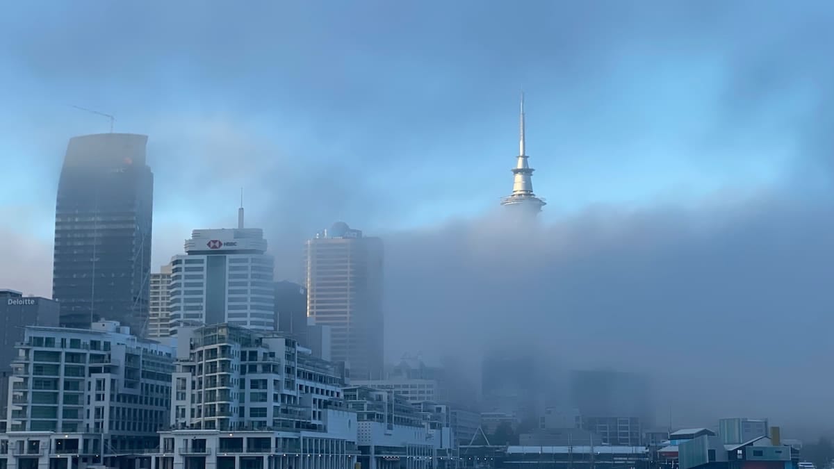
Yellow warning covers East and West Sussex through Sunday morning
Publicly available information from the Met Office shows a yellow warning for fog in force across London and South East England, including both East and West Sussex. The alert is valid from 00:00 to 10:00 on Sunday 8 November 2026, following an earlier period covering late evening on Saturday 7 November.
The latest warning describes fog, dense in places, developing overnight and becoming more widespread through the second half of the night. Visibility is expected to fall below 200 metres in many areas and could drop to less than 50 metres at times on more exposed stretches of the South Downs and coastal plain.
Coverage maps published with the warning highlight much of the Sussex county area, including Brighton and Hove, coastal towns such as Bognor Regis and Worthing, and inland routes through Mid Sussex and Wealden districts. The warning is classed as having a high likelihood and moderate impact on the Met Office scale, signalling a significant chance of disruption for early travel.
The advisory follows a similar yellow fog warning that was in force from 21:00 on Friday 6 November until 11:00 on Saturday 7 November, which also included East and West Sussex. Local coverage from regional outlets notes that the earlier spell of fog brought sharply reduced visibility around Bognor Regis and other parts of West Sussex, offering a preview of conditions expected to return overnight.
Road users urged to expect slower journeys and hazardous visibility
Guidance drawn from the Met Office and partner travel advice indicates that drivers in Sussex should expect slower journey times on main commuter corridors such as the A27, A23 and M23 during the warning period. Thick patches of fog are likely to develop unevenly, creating sudden changes in visibility between clearer stretches and dense banks of mist.
National severe weather guidance explains that fog of this kind can obscure road markings, reduce contrast and make it harder to judge distances. The official safety advice for foggy conditions emphasises lowering speed, increasing following distances and avoiding full-beam headlights, which can reflect off droplets in the air and further reduce visibility.
Published Met Office travel guidance also advises motorists to ensure fog lights are working before setting out and to use them when visibility drops below 100 metres, switching them off again when conditions improve. On rural routes across the Sussex Downs and High Weald, where street lighting is limited, drivers may find that dense pockets of valley fog persist even after sunrise.
Local resilience documents for Sussex, produced with input from emergency planning bodies, list severe weather and associated transport disruption among key regional risks. These reports indicate that even yellow level events can produce a spike in minor collisions and roadside incidents when visibility deteriorates quickly, particularly during peak commuting hours.
Rail, bus and air services preparing for potential disruption
The current Met Office warning states that dense fog may lead to slower journey times with delays to bus and train services. Public transport operators serving Sussex, including routes into Brighton, Gatwick and coastal towns, are expected to monitor conditions overnight and adjust schedules where safety or line-of-sight signalling is affected.
National rail and aviation guidance explains that reduced visibility can require lower operating speeds for trains and may limit the number of aircraft movements per hour at busy hubs. Gatwick Airport, just north of the Sussex border but serving a large share of the county’s travellers, is within the yellow warning area, and published forecast material notes the possibility of some delays or cancellations to flights if fog thickens around dawn.
According to travel advice compiled from transport and meteorological sources, passengers planning early services on Sunday are being encouraged to check live updates from train companies, bus operators and airlines before setting out. Where services are running, boarding may take longer as operators manage crowding and maintain safety in low-visibility conditions on platforms and at roadside stops.
Ferry and coastal operations along the Sussex shoreline can also be affected by dense fog, particularly for smaller craft using harbours such as Newhaven and Shoreham. Marine safety information for the Channel region notes that while larger vessels rely on radar and navigation systems, low visibility can still slow movements in and out of port.
How long the fog is expected to linger over Sussex
Met Office guidance for the current event suggests that fog will become more widespread through the early hours of Sunday before lifting gradually during the morning. Forecasters indicate that the slowest clearance is likely away from the immediate coast, where lighter winds and cooler temperatures favour persistent low cloud and mist.
Forecast detail associated with the warning points to gradual improvement from mid to late morning, with fog lifting first in brighter coastal locations, then across inland parts of Sussex. However, even after visibilities improve, some areas may be left under a layer of low cloud or haze, maintaining a grey start to the day for many communities.
Short range outlooks for the South East suggest that, beyond the current warning period, a shift in air flow and increasing cloud cover should reduce the likelihood of further widespread fog episodes over Sussex in the next few days. However, clear and calm nights at this time of year continue to present a risk of renewed patchy mist in prone river valleys and low-lying areas.
Publicly available advice from the Met Office stresses that warning areas and timings can change as new data arrives, and that people with essential journeys should review the latest forecast before travelling. The yellow warning can be updated, upgraded or cancelled if conditions develop differently from earlier model expectations.
Advice for residents and visitors with weekend plans
With the warning coinciding with a key weekend travel window, residents and visitors in Sussex are being encouraged, through published guidance, to build extra time into their plans. Early morning leisure trips, visiting family or getting to events in Brighton, Chichester, Eastbourne or inland market towns may all take longer than usual where dense banks of fog sit over major routes.
Travel safety information points out that those walking or cycling in foggy conditions should use lights and high-visibility clothing to increase their chances of being seen. On shared paths and coastal promenades, reduced visibility can make it harder for drivers and cyclists to react quickly, especially at junctions and crossings near busier roads.
For longer journeys in and out of Sussex, route planning services recommend identifying alternative paths that avoid higher ground or known fog-prone stretches, as well as checking for any weather-related speed restrictions on motorways and major A roads. Keeping fuel levels topped up and carrying basic supplies such as warm clothing and a charged phone are highlighted as simple precautions if congestion builds.
Public information prepared for communities in Sussex notes that, while yellow fog warnings are relatively common in autumn and winter, they still have the potential to cause notable disruption when they coincide with busy periods on the transport network. For this latest episode, the combination of overnight formation and a Sunday morning clearance suggests that early travellers are likely to face the greatest impact before conditions ease later in the day.