


More news on this day
Hidden between dark canyon walls in western Colorado, Morrow Point Reservoir is drawing growing attention from boaters and anglers looking for a quieter, fjord-like escape in the Rocky Mountains.
Get the latest news straight to your inbox!
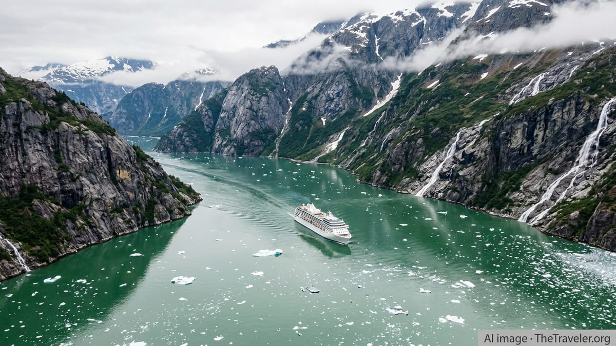
A Remote Reservoir Carved Into the Upper Black Canyon
Morrow Point Reservoir sits in the heart of Curecanti National Recreation Area between Blue Mesa and Crystal reservoirs, part of a series of dams on the upper Gunnison River. Publicly available information shows that the concrete arch of Morrow Point Dam backs the river into a long, narrow waterway hemmed in by near-vertical rock, creating a landscape that park literature describes as fjord-like rather than the broad lake profile seen at nearby Blue Mesa.
The reservoir lies within the upper reaches of the Black Canyon of the Gunnison, an area known for some of the steepest and oldest exposed rock in North America. Brochures and management plans for Curecanti note that this topography gives Morrow Point and neighboring Crystal Reservoir their distinctive feel, with sheer cliffs, shadowed coves, and tight bends that resemble a mountain fjord more than a typical Colorado reservoir.
Access is deliberately limited and physically demanding. To reach the water, visitors typically hike the Pine Creek Trail, which descends hundreds of steps into the canyon, or travel to other small access points along Colorado Highway 92. Available maps and trail descriptions emphasize that the setting is remote and services are minimal, reinforcing the reservoir’s reputation as a backcountry destination rather than a high-traffic marina hub.
The canyon’s geology also underpins the region’s hydropower story. Federal documents on the Aspinall Unit, the series of dams that includes Morrow Point, outline how the deep, narrow gorge made this stretch of the Gunnison suitable for a thin arch dam and helped turn a once free-flowing river into a chain of reservoirs central to both electricity generation and recreation.
Hand-Carried Craft Only: A Different Kind of Boating Scene
Unlike Blue Mesa Reservoir, where motorboats and sail craft are common, Morrow Point is reserved for hand-launched boats such as kayaks, canoes, and small packrafts. National Park Service boating guidance for Curecanti explains that both Morrow Point and Crystal reservoirs are limited to non-motorized, hand-carried craft, a rule intended to match the narrow canyon environment and maintain a quieter experience.
That restriction shapes the feel on the water. Paddlers report an 11- to 12-mile-long corridor of flatwater that begins with a short stretch of swifter current before flattening into calm green pools beneath towering volcanic and metamorphic walls. Sound carries easily between the cliffs, and the absence of larger engines helps keep wildlife sightings, echoing bird calls, and the splash of paddles at the center of the experience.
Boat-in camping adds to the backcountry atmosphere. Park information indicates that Morrow Point offers a small number of primitive boat-in sites tucked along the shoreline, with only basic amenities and strict rules on fires, human waste, and food storage. Recent maps for 2025 highlight these minimalist sites as part of a broader management emphasis on low-impact use in the narrow canyon corridor.
Current reservoir-level updates for Curecanti note that fluctuating water levels can alter shoreline conditions, affect where boats can land, and expose new hazards. Managers urge boaters to check recent water level information and be prepared for changing access conditions, especially during late summer and fall when reservoir elevations can drop.
Cold-Water Fishing in a Steep-Walled Canyon
Morrow Point Reservoir has long been part of a regional draw for cold-water angling on the Gunnison. Publicly available fishing guidance for Curecanti lists trout and salmon among the primary species, with the broader river system below Crystal Dam designated in part as Gold Medal and Wild Trout Water under Colorado regulations. While those honors apply downstream, they signal the quality of the cold, oxygen-rich flows feeding Morrow Point.
Regulations for the reservoir follow statewide Colorado fishing rules, with additional park-specific provisions on seasons and access. Recent agency updates show that the main fishing window on Morrow Point runs from late summer into early winter, in part due to snow, ice, and safety conditions on the steep access trails earlier in the year.
Anglers typically access the water the same way paddlers do, by hiking down Pine Creek Trail’s staircase or using select shoreline points reachable from the rim. The combination of a significant elevation drop, limited parking, and the need to carry gear into and out of the canyon naturally keeps use numbers relatively modest compared with roadside lakes and rivers elsewhere in Colorado.
Catch expectations can vary with reservoir operations. Reservoir-level briefings for Curecanti point out that changing water releases from upstream dams can influence nearshore structure, water temperature layers, and boat access. Anglers are encouraged in official materials to review current conditions and be prepared for narrow channels, submerged obstacles, and occasional strong currents near inflows and outflows.
Managing Crowds, Water Levels, and Backcountry Risks
Although Curecanti as a whole is a well-known recreation corridor along U.S. Highway 50, management documents suggest that Morrow Point remains relatively low-profile compared with Blue Mesa. There are no developed marinas at the reservoir, and the need for a steep hike keeps many casual visitors on the rim rather than on the water.
At the same time, recent planning efforts and water-based recreation studies for Curecanti identify growing interest in quiet-water experiences and remote camping, trends that could bring more attention to Morrow Point. Managers have responded with updated maps, more explicit guidance on where camping is allowed, and continued restrictions on group size and types of craft to limit crowding inside the narrow canyon.
Safety remains a central theme. Agency advisories stress that sudden changes in flows from Morrow Point and Blue Mesa dams can create hazardous conditions, particularly near the upper and lower ends of the reservoir. Cold water temperatures, limited shoreline landing spots, and the difficulty of emergency access in the canyon mean that self-reliance, life jackets, and conservative decision-making are strongly emphasized in park materials.
Recent reservoir-level advisories for 2026 note that shifting water elevations can affect boat ramps and informal launch areas across Curecanti. For Morrow Point, where access is already constrained, those fluctuations can change how far boaters must carry their craft, the steepness of shoreline routes, and the availability of safe pullouts, adding another layer of planning for any trip.
A Quieter Alternative in a Busy Mountain State
As many of Colorado’s high-profile lakes and rivers experience intense seasonal pressure, Morrow Point Reservoir is standing out as an alternative for visitors willing to trade convenience for solitude. With no roadside boat launches, no marinas, and no motorized craft, the reservoir offers a markedly different experience from popular front-range waters or even from Blue Mesa just upstream.
That niche appeal is supported by the reservoir’s layered history and landscape. The prominent granite spire known as the Curecanti Needle, a onetime emblem of a historic narrow-gauge rail route through the canyon, still rises above the southern shore and serves as a dramatic focal point for paddlers gliding beneath its walls. Combined with the reservoir’s long, winding form, it helps reinforce the sense of traveling through a Rocky Mountain fjord.
For now, publicly available planning documents and visitor information suggest that managers intend to keep the experience at Morrow Point small-scale and physically demanding, framing the reservoir as a backcountry paddling and fishing destination rather than a mass-market boating hub. With continued attention to fluctuating water levels, trail maintenance, and low-impact camping, the reservoir is positioned to remain one of the quieter corners of Colorado’s expanding water-recreation map.