
More news on this day
A burst of slow-moving storms over San Antonio on Monday delivered a new daily rainfall record for the city, flooding low-lying streets, backing up commutes and highlighting how quickly conditions can swing in a region only recently mired in deep drought.
Get the latest news straight to your inbox!
How much rain fell and where it ranked
Preliminary data from automated gauges and airport instruments indicate that several inches of rain fell across the San Antonio area during a concentrated window on Monday, with the official city observing site posting a new high mark for calendar-day rainfall for the date. Publicly available climate summaries show that the city’s previous June standouts include a 6.11-inch deluge on June 12, 2025, which had ranked as one of San Antonio’s heaviest single June days on record. That benchmark was eclipsed on Monday as the new storm cluster parked over key parts of the metro area.
While localized totals varied sharply from neighborhood to neighborhood, rainfall analyses point to a core swath of the city receiving several inches in just a few hours, enough to vault Monday’s storm into the upper tier of San Antonio’s historical daily precipitation rankings. The new figure now sits alongside the city’s longest-standing records that date back to the late 19th century, according to climate records maintained for San Antonio since 1885.
Independent mapping tools that aggregate gauge and radar estimates showed multiple San Antonio ZIP codes crossing the two to three inch mark for the 24-hour period, with some pockets receiving higher amounts where the most persistent cells stalled. Those localized bursts contributed to the citywide record, underscoring how a single, slow-moving complex can reshape the statistics for an entire month in just one day.
Monday’s downpour also added to a year that has already seen sizable rainfall swings. Recent summaries of daily and monthly precipitation lists for the region show 2026 running near or above average in many neighborhoods after several lean years, suggesting that the new record is arriving at a time when the city is finally beginning to chip away at a lingering moisture deficit.
Flooded commutes and travel disruptions
The record-setting totals translated quickly into real-world impacts across San Antonio’s transportation network. As heavy rain moved across the city during the morning and early afternoon, drivers reported ponding on major arteries and standing water at familiar low spots, especially along underpasses and near normally dry creek crossings that respond quickly to intense downpours.
Images and descriptions shared on social media captured vehicles crawling through reduced visibility, as well as temporary closures on some frontage roads where water pooled too deeply for safe passage. Even where flooding did not fully close roadways, the combination of heavy spray, hydroplaning risk and stalled vehicles turned routine commutes into slow, stop-and-go journeys.
Low-water crossings, long identified as a vulnerability in San Antonio’s urban flood profile, again drew attention as runoff funneled rapidly from saturated neighborhoods into concrete-lined channels. Public agencies and local broadcasters amplified reminders for drivers to avoid attempting to cross flooded roadways, echoing long-standing “turn around, don’t drown” safety guidance that has become a familiar refrain during South Texas storm events.
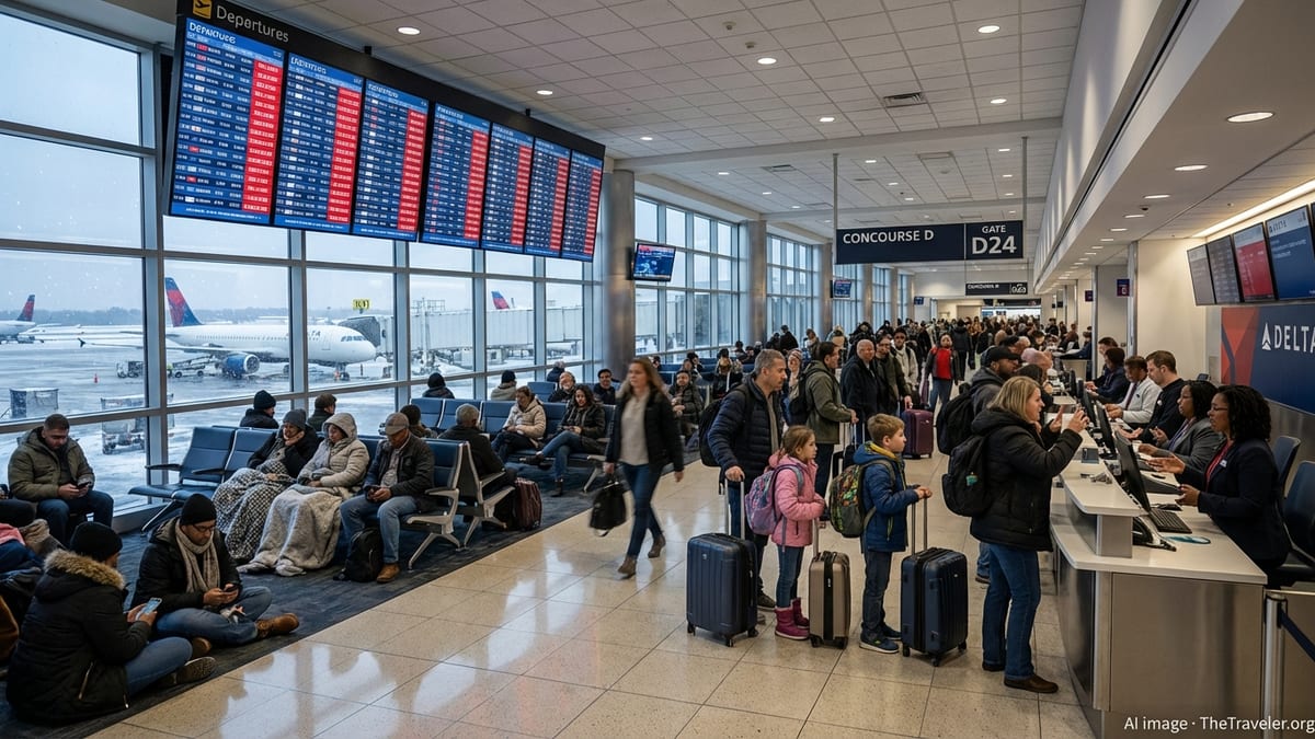
The disruption extended to air travel, with the intense rainfall window coinciding with busy morning and midday departures. Although runways are engineered to shed water efficiently, even short-lived bursts of extreme rainfall can trigger inbound delays and require temporary adjustments to departure schedules while visibility and lightning risks are evaluated.
From deep drought to sudden deluge
The new rainfall record comes against the backdrop of a multi-year dry spell that has defined life in and around San Antonio since 2022. Regional water and climate assessments describe the period through 2025 as one of the most severe drought stretches in the city’s recorded history, with cumulative deficits on the order of dozens of inches compared with long-term norms.
Those dry years left aquifer levels strained, vegetation stressed and wildfire risk elevated, a combination that made each passing storm system a source of cautious optimism. Early 2026 reporting on rainfall around the region pointed to gradual improvements as more frequent storm clusters began to arrive during the spring, a shift that set the stage for the heavier, more tropical-style downpours that have developed heading into summer.
Monday’s event illustrates how quickly that pendulum can swing in a warm-season pattern primed with Gulf moisture. After months and years of anxiously watching skies for any hint of rain, residents now find themselves navigating the flip side of Texas weather, where a single day can deliver more water than entire months did during the depths of the drought.
Water managers typically welcome the boost to reservoirs and aquifer recharge that comes from such substantial rainfall, but they also caution that runoff-heavy events can send a large share of the water surging down creeks and rivers instead of soaking into parched soils. That reality means that even a new daily record, impressive as it is, may only partially offset the long-term shortfall baked in since the drought began.
Why the rain was so intense
Meteorological analyses point to a familiar setup behind Monday’s record-breaking totals. A deep plume of Gulf moisture was already in place over South Central Texas, creating steamy, high-humidity conditions at the surface. Aloft, a weak disturbance interacted with that moisture-rich air and a sluggish frontal boundary, sparking thunderstorms that had access to both instability and a nearly continuous feed of warm, saturated air.
Computer model discussions ahead of the event highlighted the risk that storms could become “training,” with new cells repeatedly forming over the same locations. That scenario unfolded over parts of San Antonio as clusters erupted and then re-formed along subtle boundaries, leading to localized, very high rainfall rates that quickly overwhelmed storm drains and small channels.
Regional coverage of recent weather patterns across Texas has also noted the influence of broader climate drivers, including a shift toward El Niño conditions in the Pacific, which can favor a more active southern jet stream and enhance storminess over the state during certain seasons. While any single downpour cannot be attributed to one factor, the alignment of a moisture-rich air mass, a slow-moving disturbance and subtle boundaries around the metro area created a textbook setup for high-end rainfall.
Forecasters monitoring the system earlier in the week flagged the potential for several inches of rain over a wide area, with locally higher totals where storms stalled. Monday’s new record suggests that San Antonio ended up in one of those favored corridors, experiencing both the benefits and hazards that come with a high-precipitation event focused squarely on the city.
What it means for the days ahead
With soils across the metro area now much wetter than they were just days ago, hydrologists and emergency planners will be watching closely for additional rounds of rain in the short term. Even modest follow-up showers can trigger renewed runoff and minor flooding when creeks are already elevated and ground moisture is high, particularly in low-lying neighborhoods that saw the brunt of Monday’s deluge.
For travelers and residents, the new record serves as a reminder of how quickly conditions can deteriorate during the warm season. Simple steps, such as checking real-time radar and traffic maps before heading out, allowing extra time for commutes and avoiding known flood-prone routes during active storms, can significantly reduce risk when another round of rain approaches.
At the same time, Monday’s storm is likely to shape ongoing discussions about how San Antonio prepares for extreme rainfall in a changing climate. Urban planners and flood-control agencies routinely review major events to evaluate whether existing drainage infrastructure, green spaces and warning systems are keeping pace with the scale of the storms now impacting the city.
As the summer wet season unfolds, the latest daily rainfall record will remain a fresh benchmark for residents who watched familiar streets transform into temporary waterways. Whether future storms surpass Monday’s totals or not, the episode underscores the central place of water in San Antonio’s story, from scarce resource during drought to sudden, overwhelming force during a single, historic day of rain.