


More news on this day
Rail passengers and drivers across Scotland are being warned to expect severe disruption as Storm Boelo brings forecast gusts of up to 80 mph, prompting advance train cancellations, speed restrictions and amber warnings for hazardous road conditions through Sunday, 25 October 2026.
Get the latest news straight to your inbox!
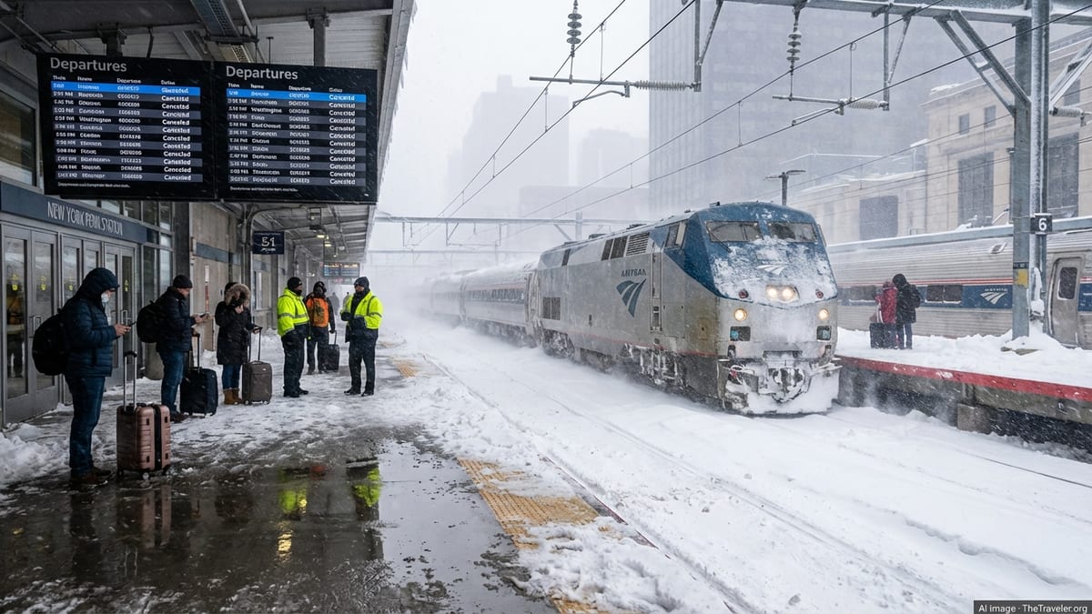
Amber alerts and severe weather forecast for Scotland
Weather warnings issued for Storm Boelo cover much of Scotland from the evening of Saturday 24 October through Sunday 25 October 2026, with the Met Office highlighting the risk of very strong winds and periods of heavy rain. Published guidance notes that gusts could reach around 80 mph in exposed coastal and upland areas, raising the likelihood of fallen trees, flying debris and power interruptions over the weekend.
Forecast models indicate that Boelo, the second named storm of the 2026 to 2027 European windstorm season, is tracking to the north of Scotland but with its strongest winds sweeping across western and central parts of the country as well as sections of northern England and Northern Ireland. Public information suggests that frequent heavy showers and more organised bands of rain will move east and south through Sunday, bringing surface water on roads and difficult driving conditions.
The combination of high winds and saturated ground after earlier rain from Storm Austen has increased concern about localised flooding, especially where drains are already under pressure. Published coverage notes that rainfall totals of 25 to 30 millimetres are expected quite widely within the warning area, with upland locations potentially seeing 50 to 60 millimetres in a relatively short period.
Train lines closed and speed restrictions for Scotland’s railway
Scotland’s rail network has been placed on an emergency footing, with operators and infrastructure managers announcing widespread pre‑planned disruption in advance of the worst conditions. Network Rail’s Scottish team has confirmed that several lines will close completely during the peak of Storm Boelo on Sunday, while others will operate with strict speed limits to reduce the risk of trains striking debris or encountering damaged infrastructure.
Publicly available information from Network Rail and ScotRail states that the move follows detailed risk assessments of vulnerable sections of track, including coastal stretches and routes beneath steep, wooded cuttings where trees and branches could be blown onto the line. Services on affected lines are being withdrawn for part or all of Sunday 25 October, with some early morning and late evening trains on Saturday 24 October also amended as storm conditions build.
National Rail incident pages for Storm Boelo and the preceding Storm Austen show that passengers on cross‑border and long‑distance services are also affected, with London North Eastern Railway warning of disruption to trains in Scotland and northern England throughout Sunday. Some services are being curtailed short of their normal destinations, while others are not running at all, and journey times on routes that remain open are expected to be significantly longer due to temporary speed restrictions.
Rail industry updates urge passengers to check journey planners on the day of travel and to consider travelling earlier or postponing non‑essential trips. Ticket easements have been introduced on a number of routes to allow customers to travel at alternative times where space is available, reflecting the high likelihood that timetables will change again as the weather evolves.
Road warnings, bridge restrictions and police travel advice
On the roads, Transport Scotland and Traffic Scotland have highlighted a high risk of disruption across large parts of the country as Boelo arrives. An amber warning for wind, covering south‑west Scotland, Lothian and the Borders among other areas, has prompted specific guidance that drivers should expect difficult conditions and possible restrictions on key bridges and more exposed sections of trunk road.
Police Scotland travel advice, issued ahead of the worst of the weather, stresses that driving may be hazardous during the warning period from 9 pm on Saturday until 9 pm on Sunday. Publicly available statements point to the likelihood of fallen trees, branches and other debris obstructing roads, together with a risk of overturned high‑sided vehicles in the strongest gusts. Motorists are being asked to consider whether journeys are essential and to allow extra time if travel cannot be avoided.
Traffic Scotland bulletins note that road, rail, air and ferry services are all likely to be affected, with longer journey times and potential cancellations. There is particular concern about exposed cross‑country routes and coastal corridors, where spray and waves may affect visibility and road surfaces. Drivers are being reminded that attempting to pass through floodwater can result in severe damage to vehicles, as well as the risk of becoming stranded if water levels rise quickly.
In previous severe storms affecting Scotland, including events documented by Transport Scotland and local authorities, early closure of some road sections and speed restrictions on major bridges have been used to manage safety risks. Officials are again signalling that similar steps may be necessary during Boelo if wind speeds approach forecast levels.
Events cancelled and communities urged to plan ahead
The arrival of Storm Boelo coincides with one of Scotland’s busiest autumn weekends, with Halloween events and late‑October school holiday activities scheduled across the country. Organisers of several outdoor attractions have already taken the decision to cancel or modify plans, citing the amber wind warning and the prospect of dangerous conditions for attendees and staff.
Coverage in national and regional media highlights at least one major Halloween festival being called off due to the forecast high winds, with local authorities and event promoters indicating that safety and transport uncertainty left little alternative. Community‑scale activities, such as smaller fairs and outdoor markets, are also being reviewed, and some have been postponed to later in the week when calmer weather is expected.
Local businesses in tourism hotspots and city centres are being advised through public channels to monitor weather and transport updates closely, particularly where staff or customers rely on late‑evening trains and buses. Storm‑related rail service reductions late on Saturday and throughout Sunday may make it harder for workers to reach or leave workplaces, and employers are being encouraged to consider flexible arrangements where possible.
Emergency planners have pointed to the pattern seen in previous Scottish windstorms, where early communication of cancellations and changes has helped reduce the number of people stranded at stations or on roads. Public messaging around Boelo has similarly focused on encouraging advance planning, including checking accommodation and travel options before setting out.
Advice for travellers and what to expect next
With forecasts indicating that the most severe conditions will occur from late Saturday into Sunday, travellers are being urged to stay alert to short‑notice changes in both weather warnings and transport plans. Met Office guidance notes that warning areas and timings can be updated rapidly as new data arrives, and that localised impacts may be worse than the general forecast where showers align or winds are funnelled through glens and across higher ground.
Transport information services for Scotland are advising drivers to check live road updates and roadside signs before and during journeys, to carry warm clothing, food and water, and to ensure mobile phones are charged in case delays develop. Particular caution is recommended for those driving high‑sided vehicles, towing caravans or trailers, or travelling with roof boxes, all of which can be more vulnerable in crosswinds and sudden gusts.
Rail passengers are being directed to journey planners and operator social media feeds on the day of travel, as timetables may not fully reflect short‑notice cancellations and alterations triggered by emerging damage to the network. Where routes are closed due to fallen trees, flooding or overhead line problems, buses may not always be able to replace trains if road conditions are also poor.
Looking beyond Sunday, forecast charts suggest that conditions should gradually improve as Boelo moves away to the north‑east, although showers and brisk winds may linger into the start of the working week. Travel agencies and tourism bodies are advising visitors planning trips later in the week to continue monitoring updates but note that, based on current information, the most acute disruption is expected during the 24 to 25 October period as Scotland rides out Storm Boelo.