


More news on this day
Thunderstorms moving across Texas on July 13 have triggered widespread flight disruptions at several of the state’s busiest airports, with rolling delays, ground stops and cancellations snarling travel plans nationwide.
Get the latest news straight to your inbox!
Delays Mount at Dallas Fort Worth and Love Field
Published coverage indicates that Dallas Fort Worth International Airport is among the hardest-hit hubs, with several hundred flights delayed or canceled as storms pass repeatedly over North Texas. One regional outlet reported that by late morning, nearly 300 flights at DFW had either been canceled or delayed as thunderstorms swept through the area and visibility and ramp conditions deteriorated.
Data from national airspace monitoring tools on Monday showed average departure delays near the one-hour mark into and out of North Texas at points during the day, reflecting how quickly convective storms can cascade into scheduling problems. When departures slow or temporarily halt for lightning or heavy rain, arriving flights often end up waiting for gates, amplifying the disruption for hours after the most intense weather cells have moved on.
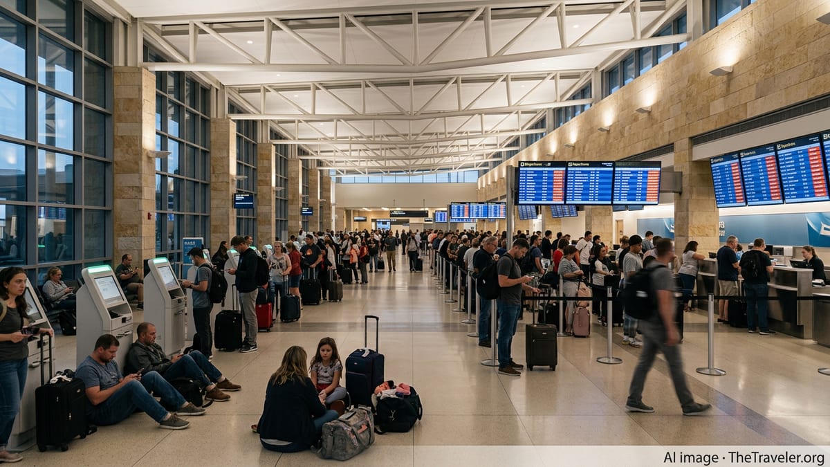
Dallas Love Field, a key base for domestic low cost carriers, has also seen weather-related congestion, although publicly available status boards there show a more mixed pattern of on-time operations alongside clusters of delays. Travelers at both Dallas airports are reporting long lines at rebooking counters and crowded concourses as airlines work through the backlog.
Weather forecasts for the Dallas Fort Worth area indicate the potential for additional showers and storms into Tuesday, raising the possibility that delays could linger or recur even as airlines attempt to stabilize schedules overnight.
Ground Stops and Rolling Delays in Houston
Farther south, storms building over the Houston region have led to intermittent ground stops and significant delays at George Bush Intercontinental Airport and William P. Hobby Airport. According to reporting from local media, a formal ground stop was issued at times for Hobby, with Bush Intercontinental also experiencing departure holds and average delays in the range of 30 to 45 minutes as of Monday afternoon.
National flight tracking tools show that Houston’s two major airports ranked among the country’s more disrupted facilities at various points in the day, as thick tropical moisture and slow moving cells produced downpours and lightning around key approach and departure corridors. Some outbound flights from Houston have departed hours behind schedule, creating knock-on effects for passengers connecting through other hubs later in the day.
The National Weather Service has described southeast Texas on Monday as being under a deep tropical air mass, an environment that favors repeated rounds of heavy rain and thunderstorms. When that pattern sets up near a major aviation complex, it often results in stop-and-go operations, as brief windows of better weather allow a burst of departures before the next storm moves through.
Travelers heading to or from Houston are being urged through airline messaging and public advisories to check their flight status frequently, as schedules continue to shift with each new round of storms.
Statewide Weather Pattern Strains the System
The current disruptions are unfolding against a broader backdrop of unsettled weather across much of Texas. Forecast discussions from multiple National Weather Service offices in the state highlight slow moving thunderstorms, localized flooding concerns and repeated outflow boundaries that can suddenly re-energize storms near major population centers.
Publicly available severe weather alerts for parts of West and Central Texas on Monday reference flood watches and thunderstorm risks extending through midweek, suggesting that conditions unfavorable for smooth air travel could persist beyond the initial event. Aviation forecasters routinely factor these mesoscale patterns into traffic management plans, but when storms blossom directly over hub airports, options become more limited.
The FAA’s national status page on Monday reflected this strain, listing weather among the primary causes of delays across several facilities, with average waits for some Texas-connected routes approaching an hour. When key hubs such as Dallas Fort Worth and Houston slow down, the impact radiates outward to smaller Texas airports and to cities across the country that depend on connections through the state.
These kinds of widespread delays often produce a rolling effect that can last well into the night, as crews time out, aircraft end up out of position and later departures are held to prevent even longer tarmac waits at crowded gates.
Impact on Travelers and Airline Operations
The immediate impact for passengers has been extended waits at gates and on tarmacs, as well as missed connections and, in some cases, overnight disruptions. Social media posts and traveler reports describe aircraft holding short of runways during lightning, as well as flights that landed in Texas but were forced to remain on the tarmac for extended periods while ground operations paused.
For airlines, stormy days in Texas can quickly turn into complex operational challenges. Major carriers rely heavily on Dallas Fort Worth and Houston as connecting hubs, meaning that a line of storms moving over just one airport can affect passengers flying between two distant cities with no planned stop in Texas. As today’s disruptions compound, airlines are rebalancing aircraft and crews to restore normal operations, sometimes resorting to preemptive cancellations of late evening flights to prevent customers from being stranded aboard aircraft after midnight.
Consumer advocates often point out that weather is only part of the story on days like this. Once storms force early delays, any underlying crewing constraints, maintenance needs or tight turn times can become visible, leaving passengers with the sense that the disruption is larger than the radar images alone would suggest. However, with lightning and downpours in close proximity to runways and ramps, safety protocols limit how much airlines and airports can do to keep operations moving.
Travelers holding tickets into or out of Texas on Monday and Tuesday are being encouraged through public information channels to build in extra time, monitor airline app alerts and consider carry-on only travel when possible to reduce the risk of being separated from checked baggage during irregular operations.
What Passengers Can Expect in the Coming Hours
Forecasts indicate that storms are likely to continue across portions of Texas into Monday night and Tuesday, particularly in Central and Southeast Texas. As a result, airlines may keep weather waivers or flexible rebooking policies in place for flights touching affected airports, although specific options vary by carrier and route.
Passengers on early morning departures Tuesday could see relatively smoother operations if storms briefly subside overnight, but delays may reappear quickly if new thunderstorm clusters redevelop near Dallas, Houston or other busy fields. In previous Texas storm events, even short-lived ground stops have been enough to cause several hours of residual congestion.
Industry analysts note that summer thunderstorm patterns in Texas are a recurring challenge for airlines, especially when combined with already busy peak-season schedules. As Monday’s disruptions unfold, the focus will be on how quickly major hubs can clear backlogs once radar imagery improves, and whether afternoon storms on Tuesday renew the cycle of delays that travelers experienced today.
For now, publicly accessible aviation data and weather briefings point to a volatile operating environment across Texas airspace, with passengers and airlines alike adjusting plans around the shifting line of storms.