


More news on this day
Thunderstorms sweeping across Florida have prompted a ground stop at Tampa International Airport, temporarily halting some departures and slowing arrivals as air traffic managers worked to route aircraft safely around intense storm cells.
Get the latest news straight to your inbox!
Storm line stalls departures and slows arrivals
Publicly available federal air traffic management advisories show that operations at Tampa International Airport were restricted as strong storms moved across central Florida. A formal ground stop limited the flow of new departures while controllers managed aircraft already in the system and rerouted flights around areas of heavy rain and lightning.
Ground stops are used when conditions reduce the capacity of an airport or surrounding airspace to a level that cannot safely accommodate scheduled traffic. In this case, convective storms over the region reduced usable airspace and forced arrival and departure paths to be compressed, leaving fewer options for climbs, descents and diversions.
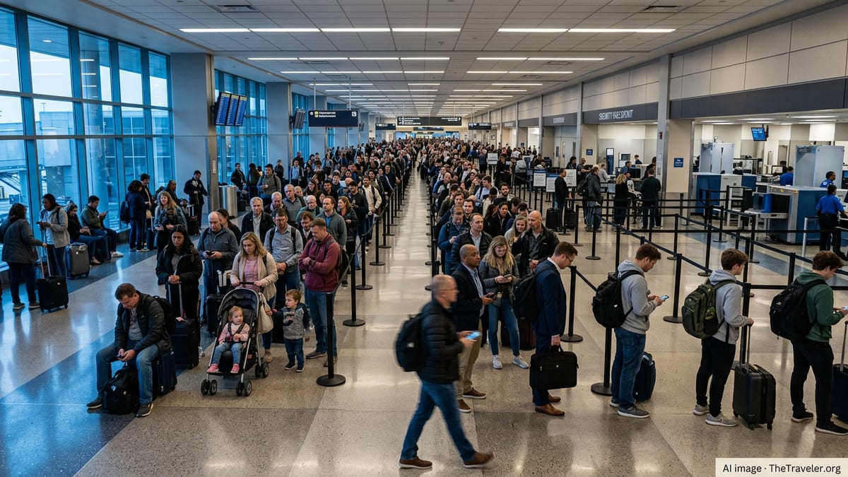
While some aircraft already taxiing were able to depart when gaps opened in the weather, many flights scheduled to leave Tampa remained at the gate or held on the ground. Passengers reported extended waits, rolling departure times and busy gate areas as airlines adjusted schedules in response to the evolving storm track.
Arriving flights were also affected, with holding patterns and occasional diversions when storm cells intensified near the field. As the most active cells shifted, traffic managers gradually eased restrictions, but delays continued to propagate through evening schedules.
How a ground stop works at Tampa International
Ground stops are coordinated through national air traffic management centers, which issue time-limited directives that restrict specific airports or groups of airports. At Tampa, such measures typically apply to flights that have not yet departed their origin, keeping them at the gate rather than allowing them to launch into congested or weather-impacted airspace.
These programs are calibrated to current weather radar data, runway availability and airspace capacity. When severe thunderstorms move through the Tampa Bay region, arrival and departure corridors can be narrowed, and controllers may be forced to increase separation between aircraft. The result is a sharp reduction in the number of flights the airport can handle each hour.
Unlike a full airport closure, a ground stop can be scaled and adjusted in real time. Restrictions may apply only to certain directions of arrival, to particular airlines, or to flights originating beyond a specified radius. As conditions improve, the stop may be downgraded to a ground delay program, in which flights are assigned new departure times designed to meter traffic into Tampa more smoothly.
For travelers, the distinction is not always visible. Both tools often translate into late departures and missed connections, particularly when storms build during the peak afternoon and early evening banks when Tampa handles a high volume of domestic traffic.
Ripple effects across Florida and beyond
The storms affecting Tampa did not occur in isolation. Advisory data indicated that other major Florida airports, including Orlando International, were also subject to potential ground stops or flow restrictions as the same weather system crossed the peninsula. When several hubs in a region experience reduced capacity at once, delays multiply quickly.
Airlines often respond by prioritizing long-haul and international flights, holding or canceling shorter domestic segments that can be more easily rebooked. This can leave travelers on popular intra-Florida or Southeast routes facing the longest waits, even if their aircraft is already on the ground at Tampa.
The timing of the storms also plays a crucial role. Convective weather frequently peaks in the mid to late afternoon, coinciding with some of the busiest departure waves from Tampa to major hubs such as Atlanta, Charlotte, Dallas and Chicago. When an afternoon ground stop is issued, aircraft and crews may end up out of position for evening and early morning departures the next day, extending the disruption beyond the immediate weather event.
Connecting passengers can feel the impact hundreds or even thousands of miles away, as missed inbound flights from Tampa lead to empty seats or last-minute rebookings on subsequent legs. For airlines with limited spare capacity in midsummer, recovering from a single storm-driven ground stop can require schedule adjustments well into the night.
Guidance for travelers caught in a ground stop
When a ground stop is in effect at Tampa International, published federal systems usually show the status in real time, but individual passenger experiences depend heavily on airline policies and communication. Travelers are generally advised to monitor their carrier’s mobile applications and departure boards, which tend to reflect revised departure estimates more quickly than static printed itineraries.
Same-day rebooking options can vary during severe weather events, since such disruptions are classified as outside the airline’s control. Passengers may be able to switch to later flights without additional fare, but compensation such as hotel vouchers is less likely when storms are the primary cause.
Those with tight connections at downline hubs may find it useful to contact their airline before boarding a delayed Tampa departure, especially if onward flights are the last of the day. In some cases, staying overnight in Tampa and taking an early flight after the weather clears can be a more reliable option than risking a missed connection late at night in another city with limited hotel availability.
Travelers with flexibility are often encouraged to build extra time into itineraries during Florida’s peak thunderstorm season. Midday and early afternoon flights are more vulnerable to convective shutdowns, while early morning departures historically face fewer weather-related constraints at Tampa and along many East Coast routes.
Storm season and the outlook for Tampa operations
The ground stop comes in the heart of Florida’s rainy season, when warm, humid air over the Gulf of Mexico and peninsula routinely fuels fast-growing thunderstorms. These systems can form and intensify in less than an hour, forcing rapid reassessments of airspace capacity around Tampa.
Operational data released by federal aviation agencies in recent years show that convective weather is a leading cause of delays at major U.S. airports, and Florida is particularly exposed because of its geography and heavy reliance on afternoon departures. Tampa International, while generally known for efficient operations, is not immune when storm lines set up over approach and departure paths.
As airlines head further into the summer travel peak, ground stops like the one affecting Tampa highlight the challenges of maintaining on-time performance in a volatile weather environment. Carriers and air traffic managers increasingly rely on detailed forecasting tools and real-time collaboration to fine-tune departure rates, but sudden lightning, microbursts and shifting storm outflows can still force quick operational pauses.
For visitors heading to Florida’s Gulf Coast beaches and for residents relying on Tampa International as their primary link to the national network, episodes of weather-related disruption are likely to remain a recurring feature of summer travel. Awareness of how ground stops work, and how quickly storms can reshape flight plans, can help travelers better navigate an already busy season.