


More news on this day
Thunderstorms sweeping across key regions of the United States are triggering widespread flight delays at major airports on Wednesday, disrupting late-summer travel plans for thousands of passengers as airlines and air traffic managers work around fast-changing weather conditions.
Get the latest news straight to your inbox!
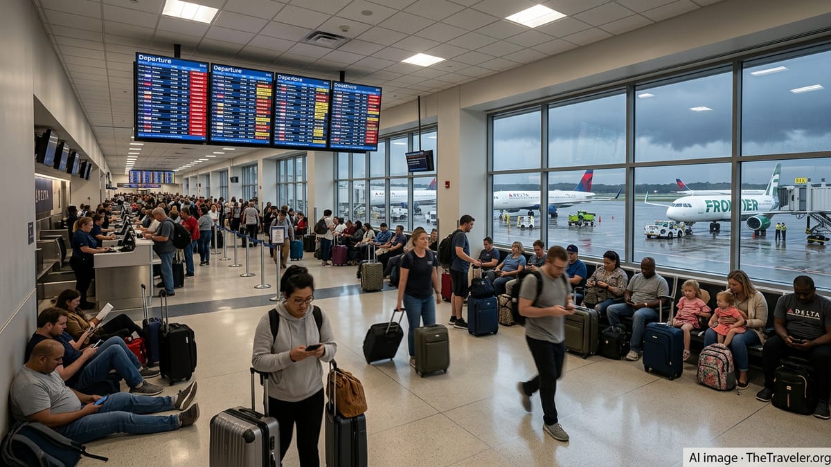
Storm Systems Slow Traffic at Major Hubs
Clusters of thunderstorms moving through the Northeast, Mid-Atlantic and parts of the South on August 26 are reducing visibility, forcing reroutes and slowing departures and arrivals at some of the nation’s busiest hubs. Flight-tracking data shows hundreds of delays across the domestic network, as carriers hold aircraft on the ground or extend airborne holding patterns while storms pass.
Published coverage drawing on FlightAware statistics indicates that more than 700 flights within, into or out of the United States were delayed by early afternoon Wednesday, with dozens of cancellations, as airlines adjusted schedules to keep crews and aircraft clear of convective weather. Boston Logan International Airport recorded some of the highest disruption on Tuesday, and operational ripples continue to affect schedules today as aircraft and crews work back into position.
According to publicly available information from the Federal Aviation Administration’s real-time status pages, large East Coast gateways such as New York’s LaGuardia and Newark Liberty have been reporting manageable but persistent arrival and departure delays, with typical holds in the range of 15 minutes or slightly more during peak traffic periods. Even short delays at large hubs can cascade across the system as connecting flights wait for late inbound aircraft.
Weather-related slowdowns are also being monitored in Florida and the central United States, where storm cells and heavy rain periodically cross major routes. Flight-planning tools used by dispatchers and pilots show reroutes around active thunderstorms and temporary ground-delay programs that restrict the number of planes launching into congested airspace until conditions improve.
Thunderstorms, Low Clouds and Winds Drive Disruptions
Meteorological outlooks referenced by aviation authorities point to strong thunderstorms capable of producing lightning, heavy downpours and localized wind shear in parts of Texas and the Gulf Coast, with implications for high-volume airports in Dallas, Houston and Florida. In some cases, aircraft must wait for storms to clear departure and arrival corridors before operations can safely resume at normal levels.
In the West, low coastal clouds and patchy fog are contributing to delays at airports such as San Francisco and San Diego, where instrument-approach procedures reduce runway capacity during periods of reduced visibility. Publicly accessible FAA planning updates note that low ceilings often require increased spacing between arriving aircraft, cutting the number of landings controllers can safely handle each hour.
Forecast guidance also indicates gusty surface winds in the New York area, particularly around Newark, where crosswinds and changing wind directions can affect runway selection and approach paths. When strong winds align poorly with a primary runway, controllers may need to shift operations to alternate surfaces, further compressing capacity during already busy travel periods.
Airport operators emphasize in public guidance that weather conditions hundreds of miles away can lead to disruptions in otherwise clear skies. Phoenix Sky Harbor, for example, notes in its passenger information that storms or traffic constraints elsewhere in the country can delay flights in Arizona, even when local weather appears calm and sunny.
Knock-On Effects for Airlines and Passengers
While much of Wednesday’s disruption is concentrated in short holds and moderate schedule adjustments, the cumulative impact can be significant for travelers. Late-arriving crews, aircraft out of position and tight connection windows all raise the risk that a short delay at a hub will translate into a missed onward flight or overnight stay for connecting passengers.
Recent accounts compiled on consumer forums describe passengers remaining aboard aircraft at the gate or on taxiways while airlines waited for thunderstorm cells to clear and for new departure slots to be issued. In some cases, crews reached maximum duty-time limits and flights were ultimately canceled after extended ground delays, a pattern that can reappear on busy storm days when airlines are operating near full capacity.
Data from FlightAware’s live delay and cancellation statistics underscore how quickly a localized storm can affect the national network. Even when total cancellations remain relatively modest compared with major winter storms or holiday meltdowns, clusters of delays at one or two large hubs can leave passengers facing long customer-service lines and crowded rebooking options as later flights fill.
Publicly available explanations from flight-tracking services also point out that the precise cause of a delay on a given flight can involve multiple factors, including weather constraints, air traffic control flow programs, crew duty limits and ground-handling issues. Weather is frequently the trigger for broader disruptions, even when it is not the only operational factor at play.
What Travelers Can Do on a Stormy Travel Day
Travel guidance shared by airports and flight-tracking providers suggests that passengers flying through affected regions on days like Wednesday should monitor their flight status frequently, ideally through airline apps and text alerts that provide real-time gate and schedule updates. Many carriers enable same-day flight changes within the app when storms disrupt operations, sometimes waiving change fees when broad weather systems affect multiple airports.
Passengers with tight connections at major hubs may want to consider earlier departures or longer connection times during periods of active thunderstorms or low-cloud forecasts, especially in cities such as New York, Boston, Chicago or San Francisco that are more vulnerable to capacity reductions. Rebooking to nonstop flights when possible can also reduce the risk of being stranded in a hub if one leg of a multi-segment trip is delayed.
Aviation-focused websites recommend that travelers keep a close eye on the FAA’s public airport-status maps and services such as FlightAware’s MiseryMap, which visually display where delays and cancellations are concentrated at any given time. These tools can help travelers anticipate trouble spots before heading to the airport and understand whether a delay is isolated to their flight or part of a wider pattern.
For now, forecasts indicate that storm-related disruptions are likely to continue in parts of the country through Wednesday evening, with conditions expected to gradually improve as weather systems move offshore or dissipate overnight. Airlines and air traffic managers are expected to keep adjusting routing and schedules throughout the day to minimize the impact on passengers while maintaining safe separation from active storms.
Sources
FlightAware live delay and cancellation statistics
FlightAware MiseryMap overview of delays